
Photo locations, techniques and technology. Highlights of locations we frequent as well as features on how and why we shoot the way we do, including gear reviews specific to nature photographers.
Bella Coola Photo Trip
We have done a good number of smaller camping trips around the island with some interesting photo opportunities for both landscape and wildlife but we have wanted to do something a bit more grand. Well a long ferry ride to Bella Coola pretty much fit that bill.
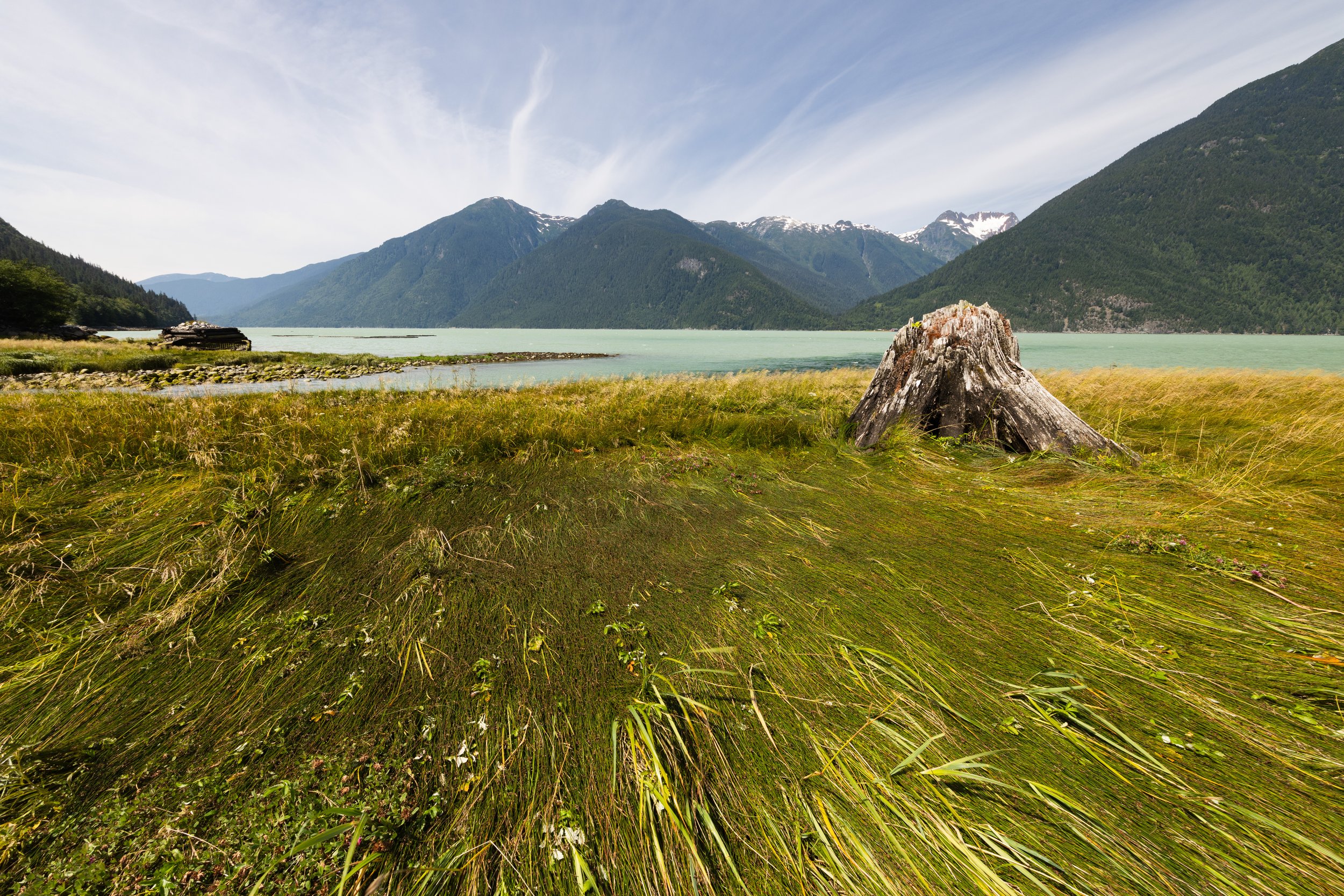
Looking down the North Bentinck Arm from just outside of Bella Coola
It has been an interesting summer in the Pacific Northwest, fairly hot for our rainforest area, forest fires getting out of control on the mainland, and finally most of the work around the house is coming to completion. We have done a good number of smaller camping trips around the island with some interesting photo opportunities for both landscape and wildlife but we have wanted to do something a bit more grand. Well a long ferry ride to Bella Coola pretty much fit that bill. Bella Coola is a tiny town on the west coast of British Columbia with only 2 ways to get there. One is a 5 hour trip from Williams Lake along a fairly lonely “highway” down what they refer to as “the hill”, a very steep decent from a plateau down to sea level into a beautiful valley surrounded by large granite rock. The other way is via a 10 hour ferry from the north end of Vancouver Island through some of the most beautiful waters and fjords in North America. This is the route we started our trip on.
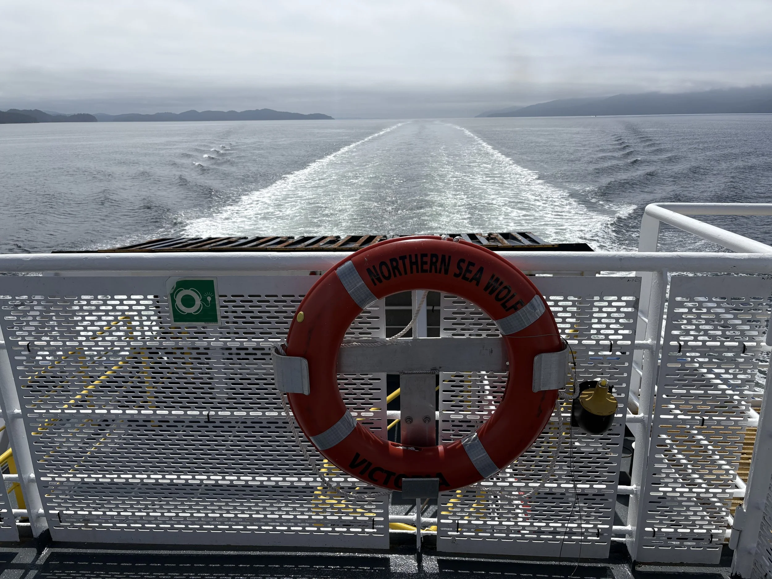
On the Northern Sea Wolf heading to Bella Coola with Vancouver Island way behind us.
The Ferry Ride North
The ride up to Port Hardy to get to the ferry is only about two and a half hours from home but that route it is also the access point to much of the more interesting parts of North Vancouver Island. On this trip we camped just outside of Port Hardy so that we could get in line for the early departure. Our campsite was near a salmon hatchery that was about 3 weeks away from seeing the first of the pink salmon to move upstream, so it was pretty quiet.
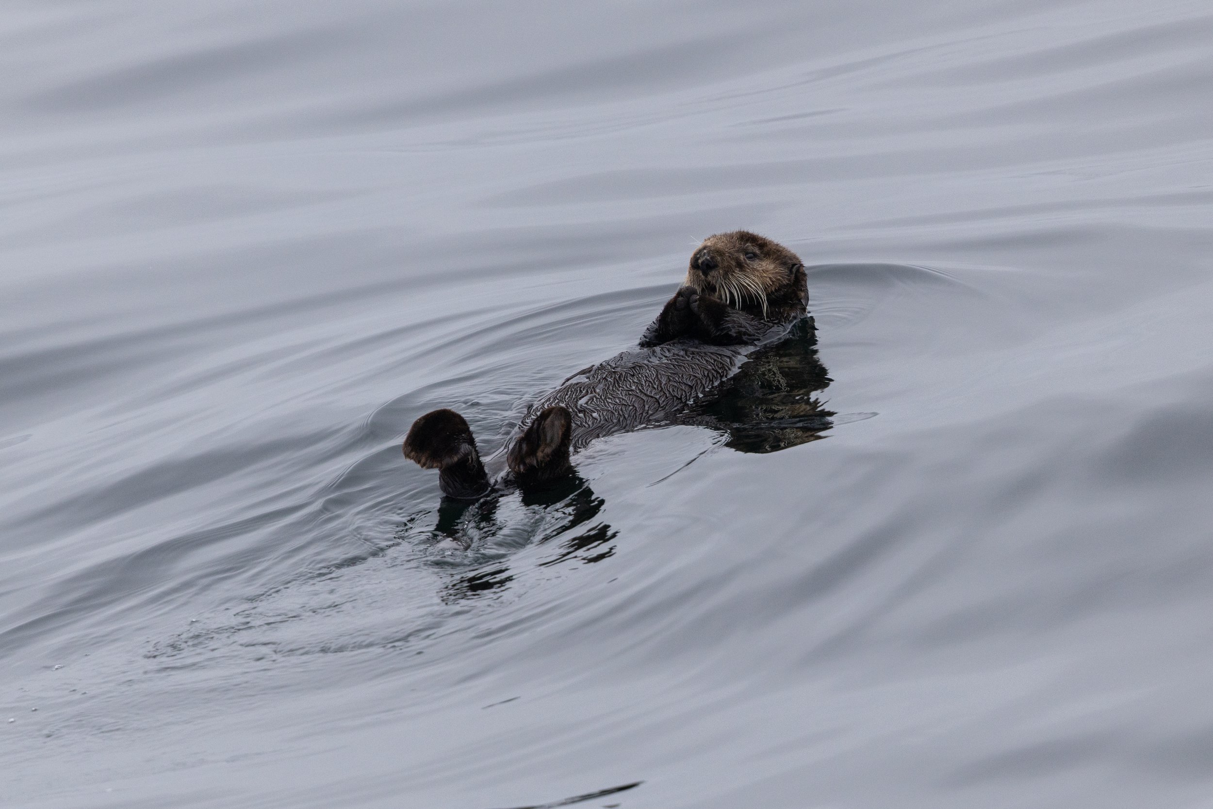
Looking down from the top deck of the ferry on a very cute sea otter floating on its back.
We sailed off on a foggy morning with low hanging clouds for the first couple of hours, it was still nice enough out for us to stay outside on the main top deck of the ferry watching for sea life. If you kept your eyes on the water you might be lucky enough to see the odd sea otter just floating on the water and a couple of them stayed there as the ferry went by, allowing for a few cute shots. A short time later we found a humpback whale that was pretty active, breaching a few times in the distance and I was able to grab a few quick shots as it launched into the air. This is the first time I’ve been able to get shots of a breaching whale so I was very hopeful that the shots would be good enough as it can be very difficult to pick up the camera, find the subject, get focus and shoot off a few shots before the action is already over.
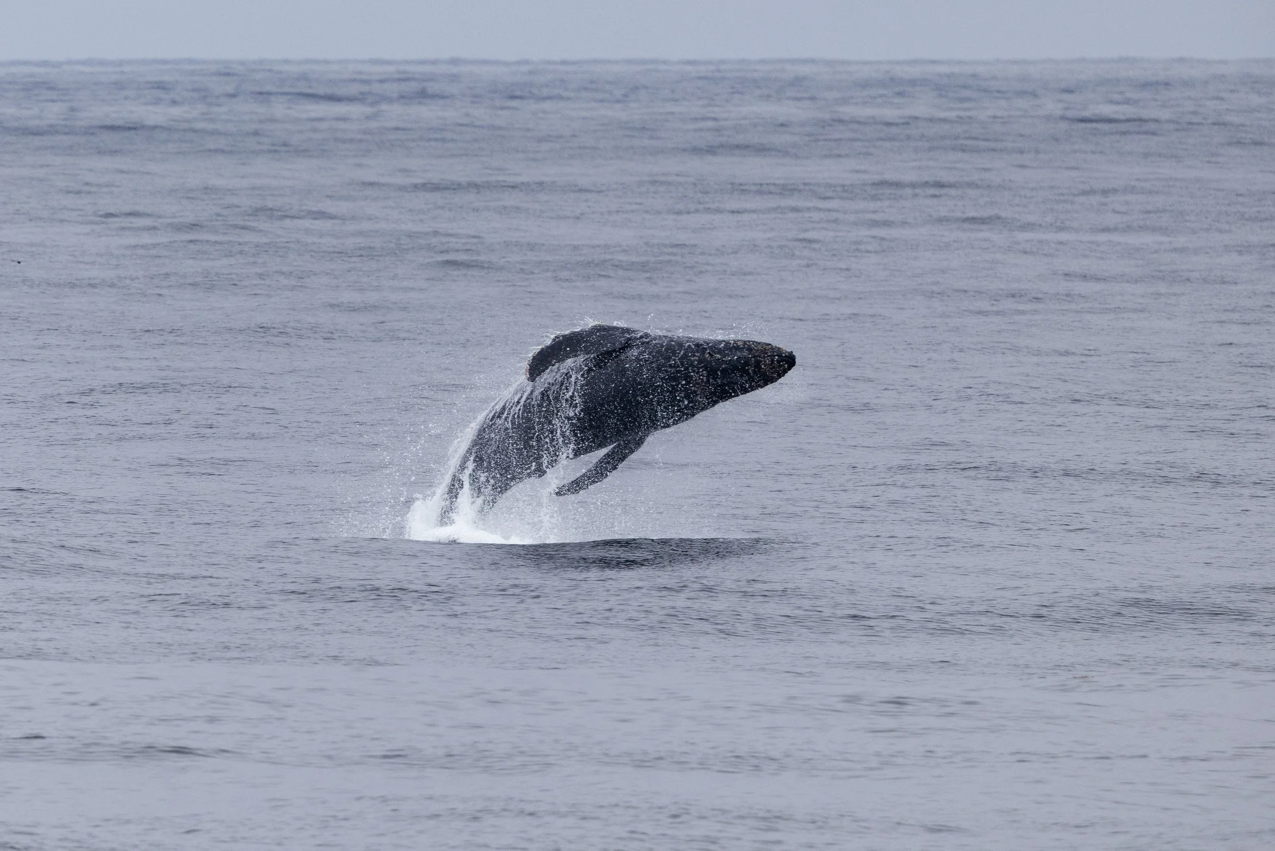
Humpback whale breaching in the distance as seen from the ferry
As we left the open water and started up the Burke Channel we changed over from watching the wildlife to just being in awe of the surroundings. The mountains came down to the water in so many interesting forms - from long forested slopes to steep, shear rock faces. The weather had cleared up by this point and I wonder if those low hanging clouds might have made more interesting shots of these landscapes. Never the less, I have some interesting shots and it was amazing just watching this scenery pass by for hours. We never got tired of it, always looking around the next corner wondering what we might see next.
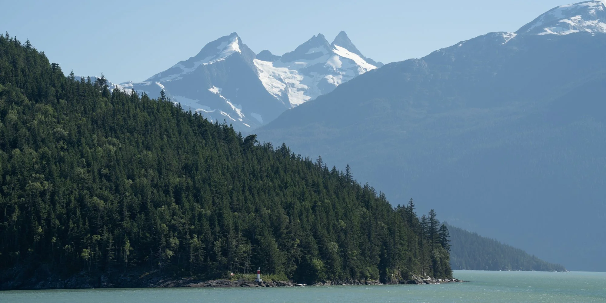
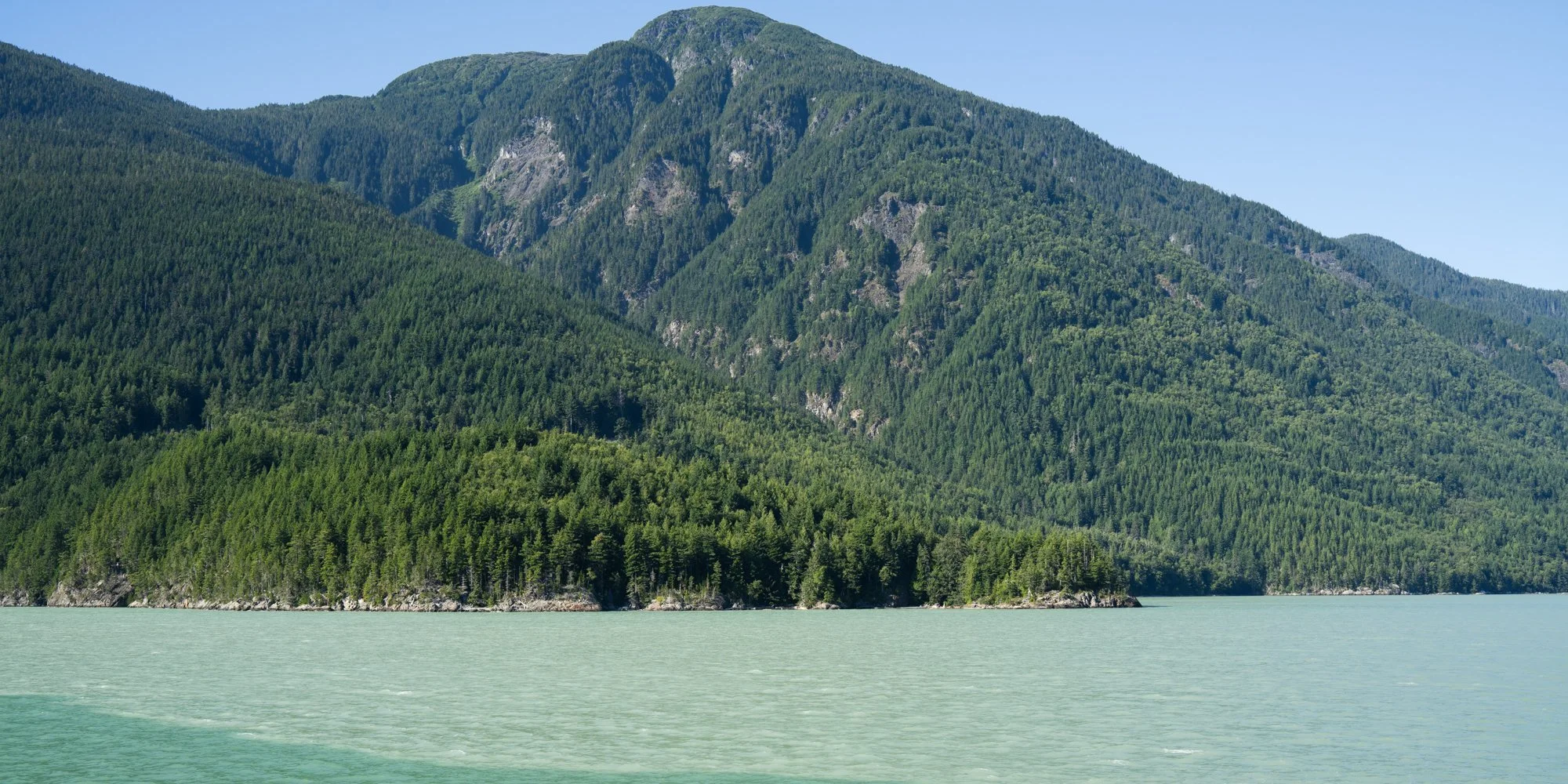
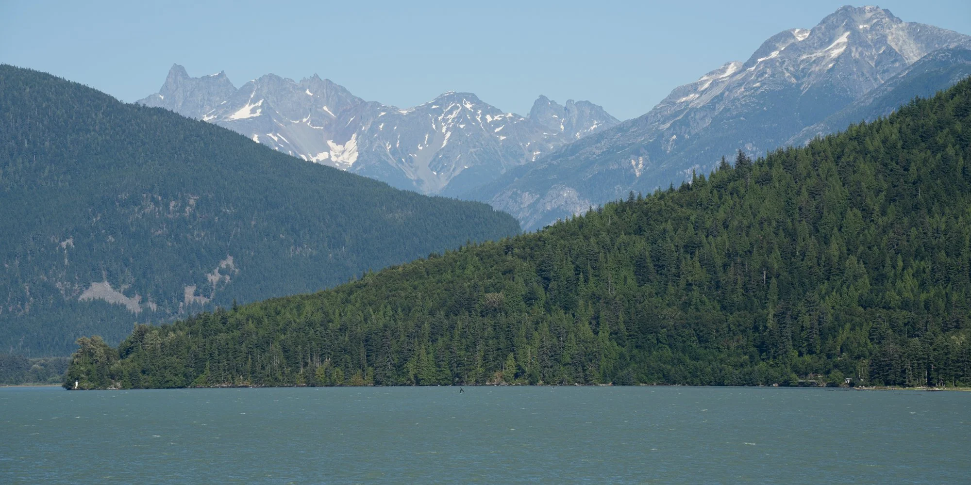
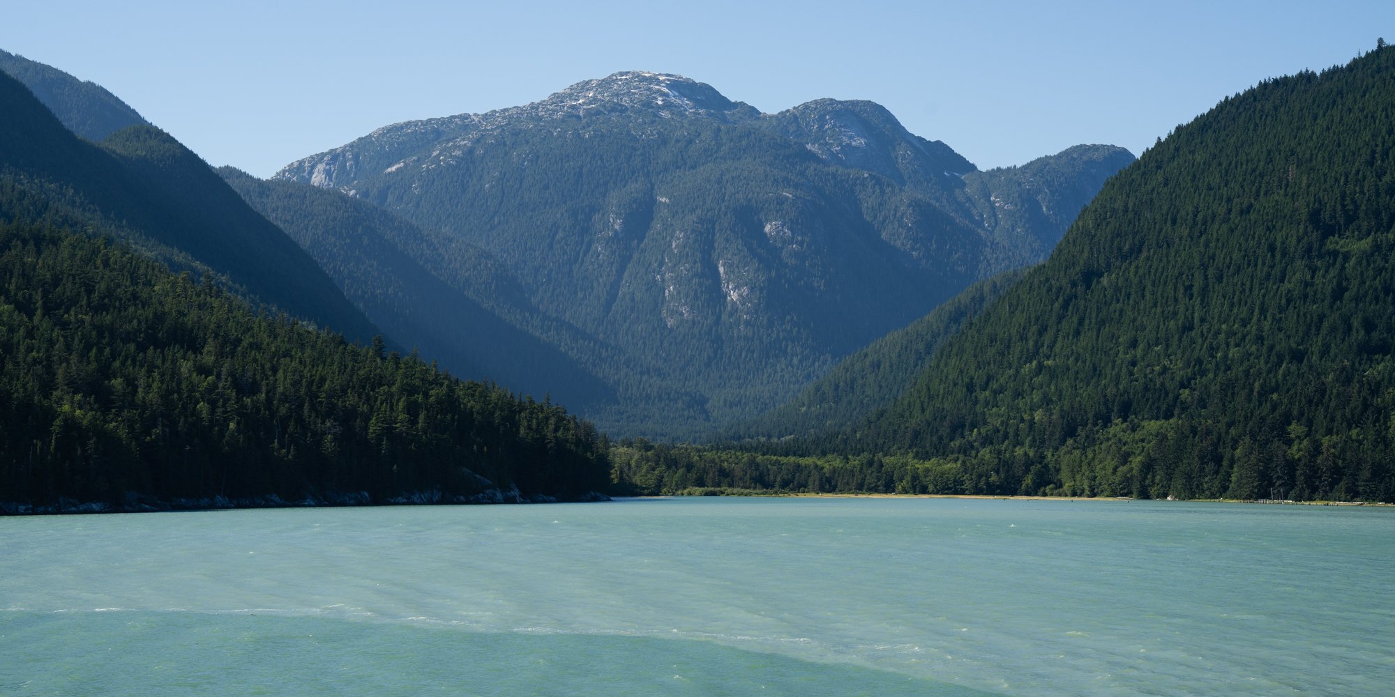
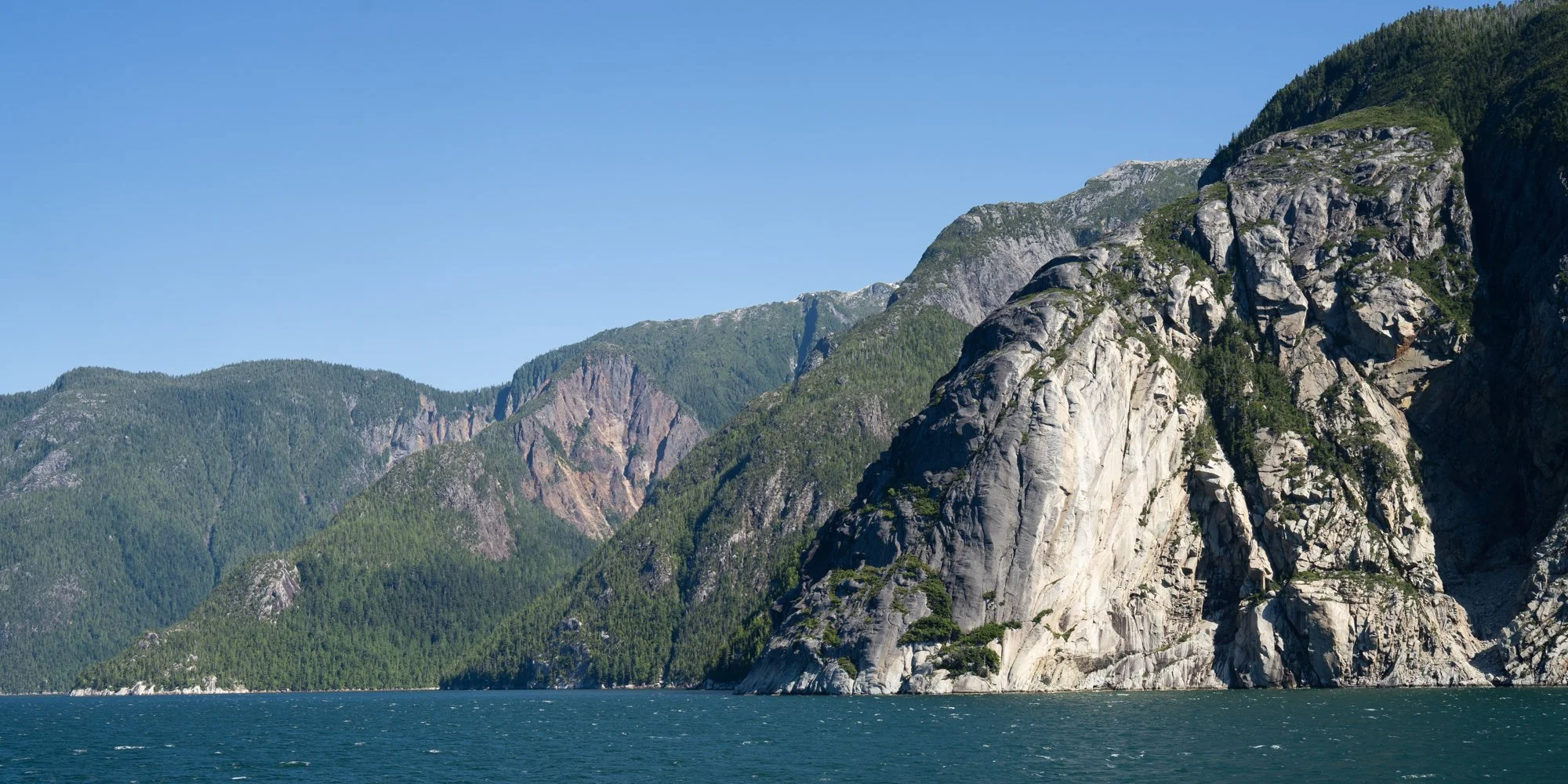
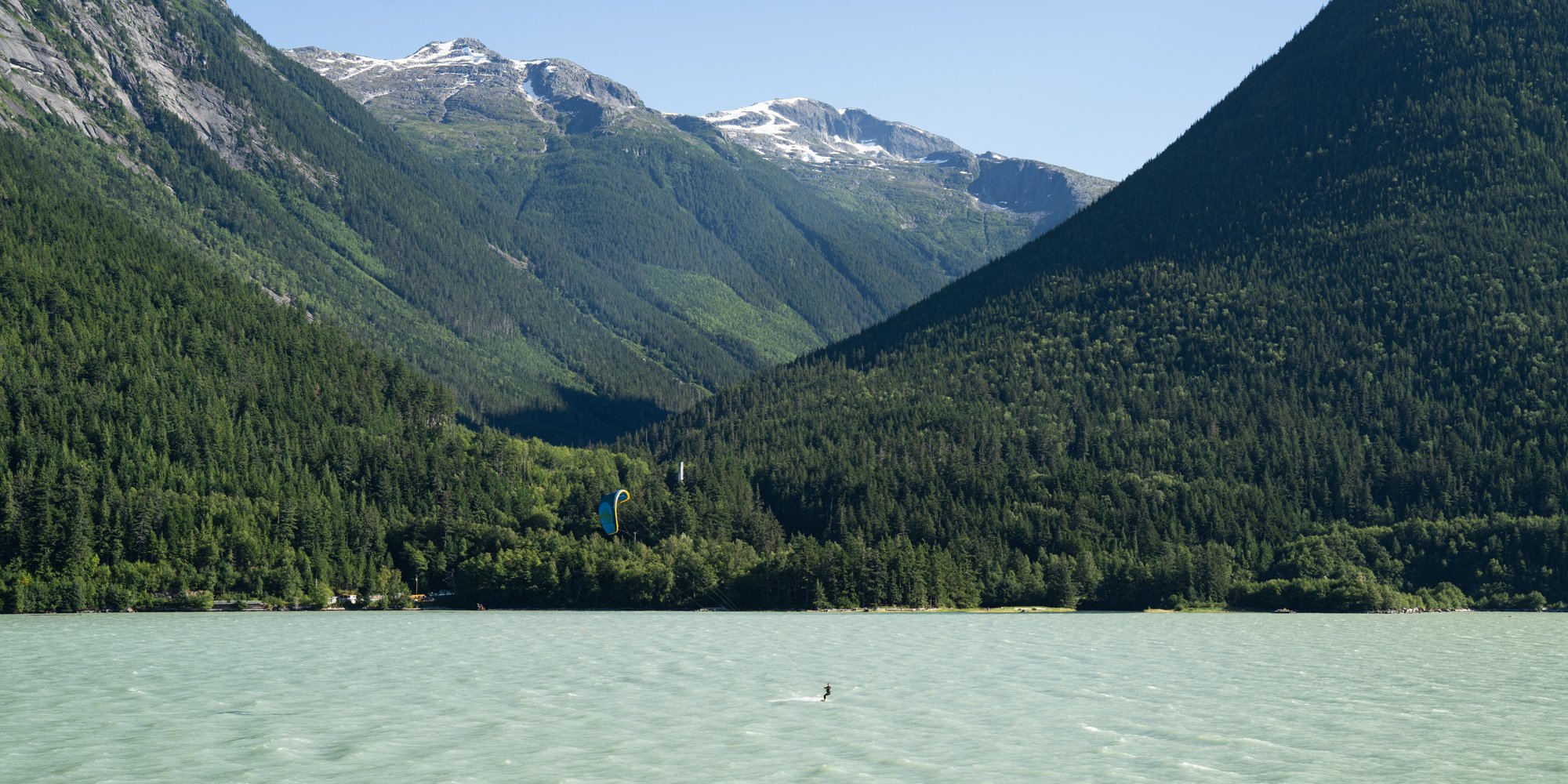
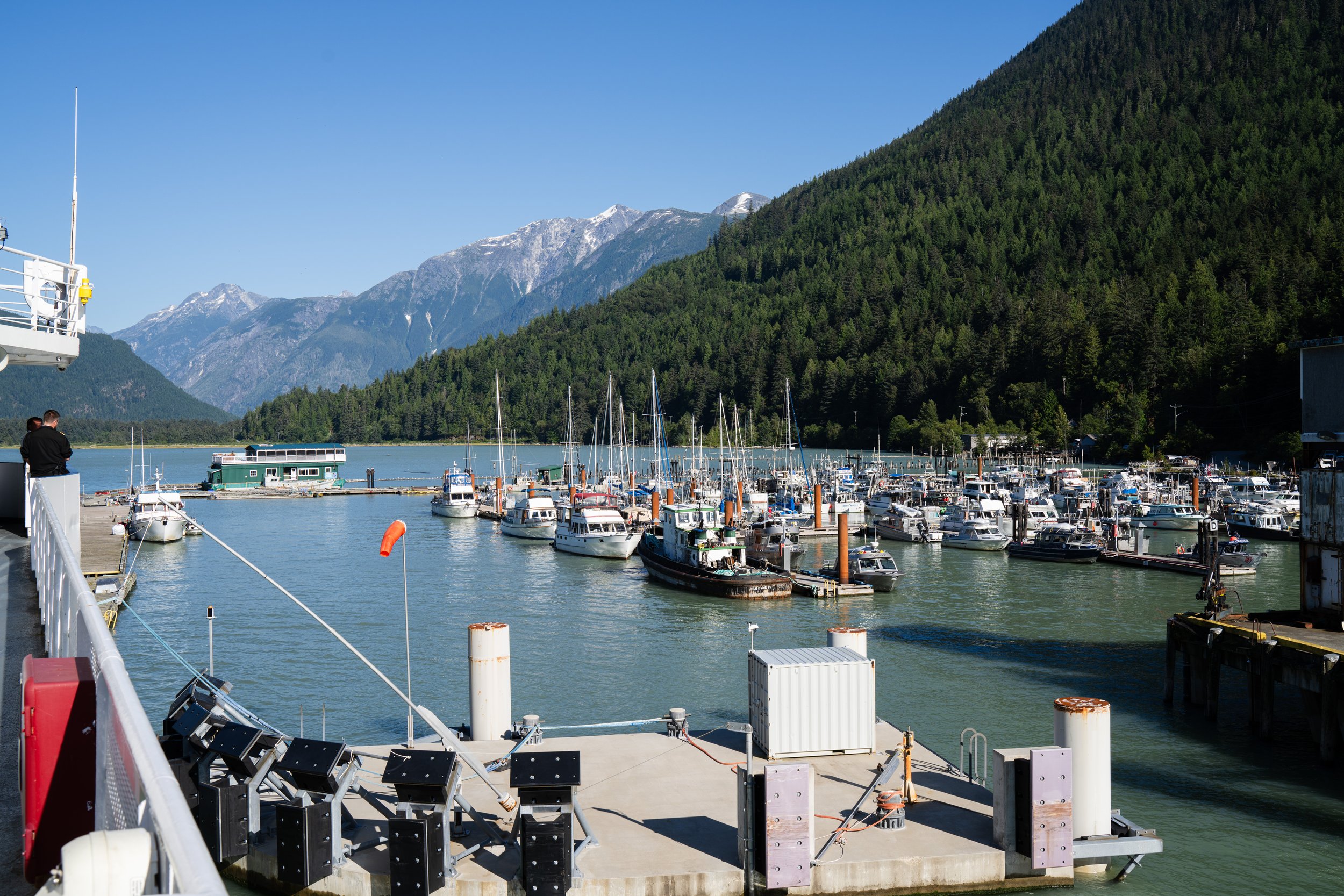
The end of the channel as we docked in Bella Coola felt like we were entering a different world, mostly just a dock and a few fishing boats with an estuary at the end of the channel we still had no real idea what the town of Bella Coola looked like.
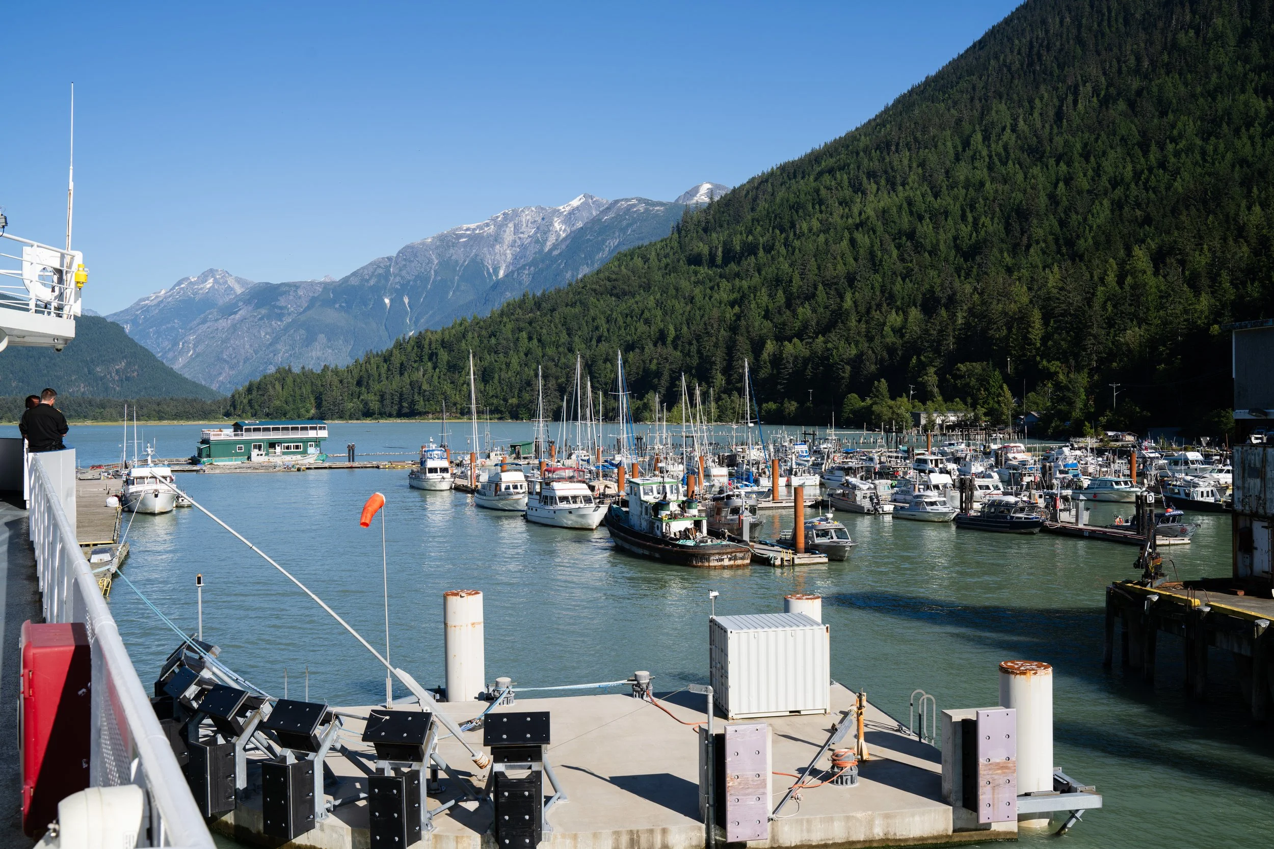
Port and ferry terminal coming into Bella Coola
Bella Coola Valley
A 2 minute drive off the ferry and we found a very small town with a grocery store, liquor store, gas station and not much more. It felt more like a town from the 1970s and I have a feeling much of it was from that era. What did stand out immediately was the scenery, we were in a deep valley with high walls leading us up the Bella Coola river. A very lush valley, with farms along the highway and a few dirt roads leading off to hopefully interesting locations.
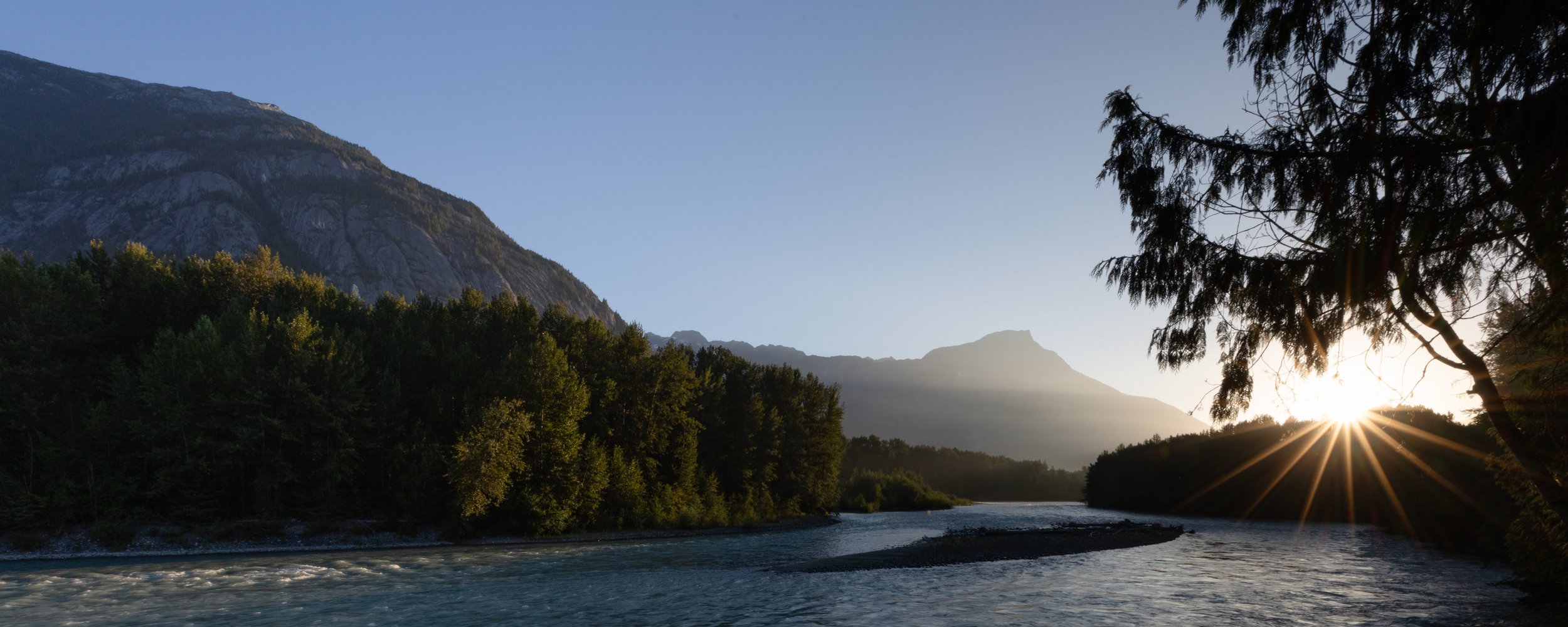
Sunrise on the Bella Coola river from our campsite at Rip Rap.
We took the easy way out for our first night and had booked Rip Rap campsite just outside of Hagensborg, a nice quiet spot along the river which might have afforded us some grizzly moments if we had been just a few weeks later in the season but at this time it was just a relaxing spot to watch the sun disappear behind the mountains.
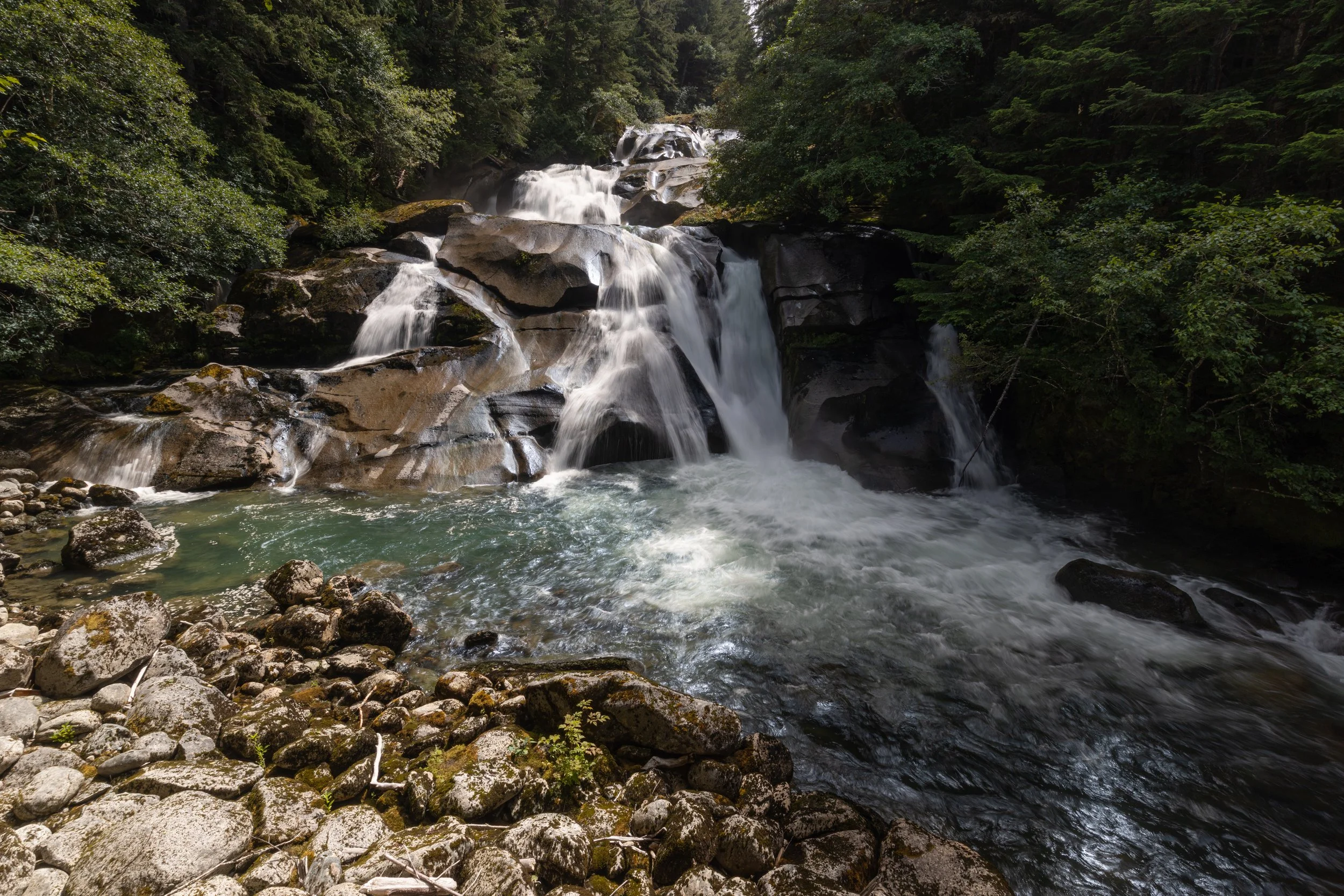
Clayton Falls
The next day we started into more interesting terrain. Back past Bella Coola to the estuary and a beautiful waterfalls beside the hydro station we started up a forest service road towards a hike Salwa had found that would take us to some mountain lakes and a possible view back down into the Bella Coola valley. This road turned out to be a pretty good learning moment for how our truck and camper could handle very narrow and steep climbs with the last hour or so of the climb being a very slow road with branches pinstriping the truck almost all the way. The truck was up to the task, and my confidence in my own capabilities increased after this run as we peaked out at a little more than 4,000 feet above sea level to head out on the hike.
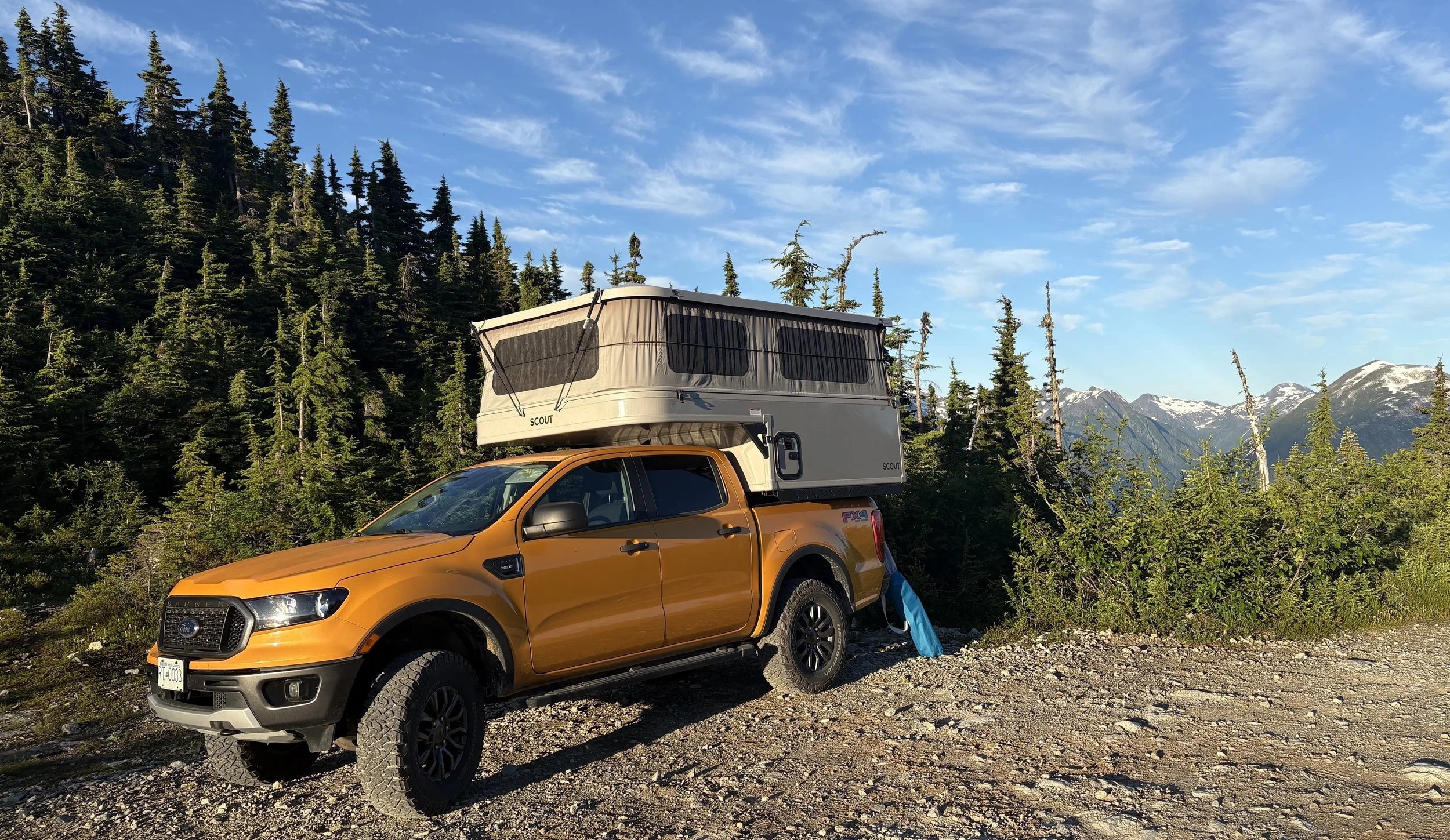
Parking spot at the summit, beautiful views but so many bugs.
This was our first chance for some interesting shots of the mountains and the hike did not disappoint with views in every direction. We made our way up along a creek to a beautiful mountain lake, around the lake and then managed to lose ourselves missing the turn up to the last viewpoint. As usual our mistake found us in another interesting location with some more amazing views but by the time we found our way back to the turnoff, it was getting late in the day and we decided it was best to get back before nightfall.
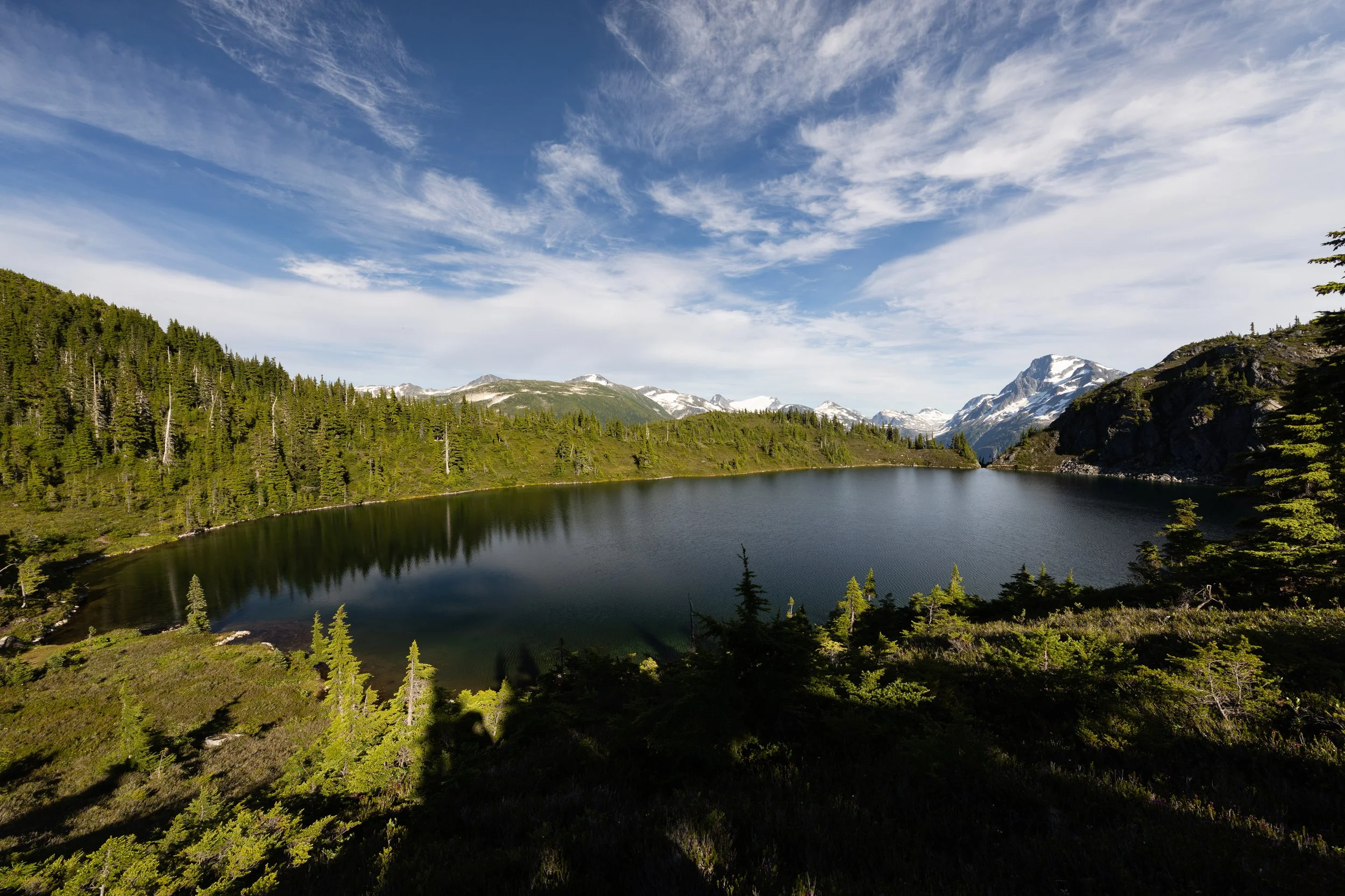
Clear air and a beautiful view across the mountain lake back to where we started.
With the sun starting to set, the scenery back down the creek was even more spectacular than it seemed on the way up. Once back to the truck we decided that where we were was going to be our best camping location and the horse flies and mosquitoes made it quite clear that we were going to be spending most of our time inside that night.
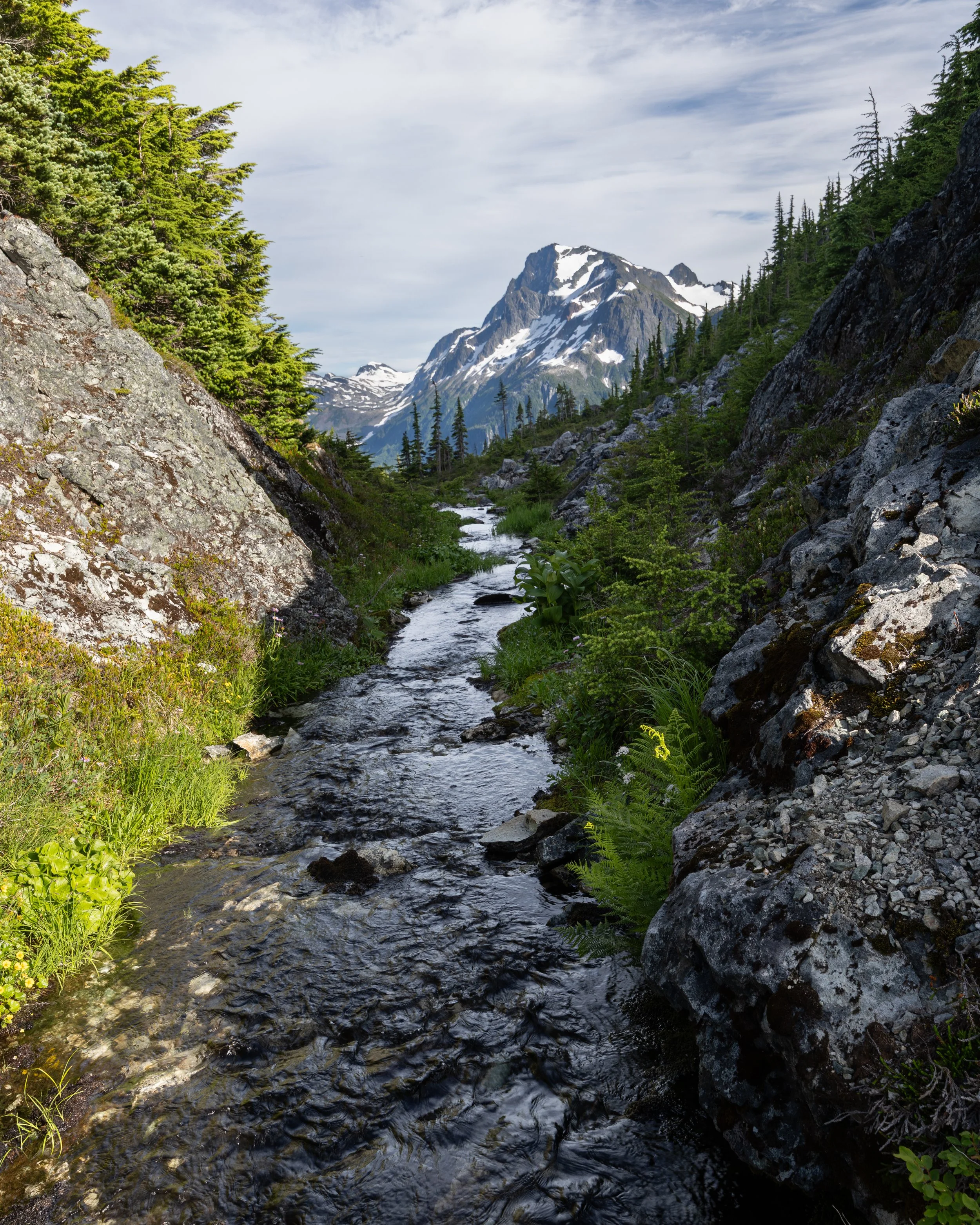
The hike back down from the mountain lake was possibly more spectacular than the views on the way up.
The way back down was nearly as slow as the way up, negotiating deep holes and loose rock much of the way down but we made it back down for breakfast back at the estuary ready for the next leg of the trip up the valley.
The next destination was a couple hours up another Forest Service Road as we headed towards Odegaard Falls. There is a single rec site with a beautiful view of the falls and the hike to the bottom of the falls was well worth the easy hike in. We decided not to stay at that rec site but wanted to continue upwards to what was supposed to be a fantastic view of a glacier another hour or so up the road.
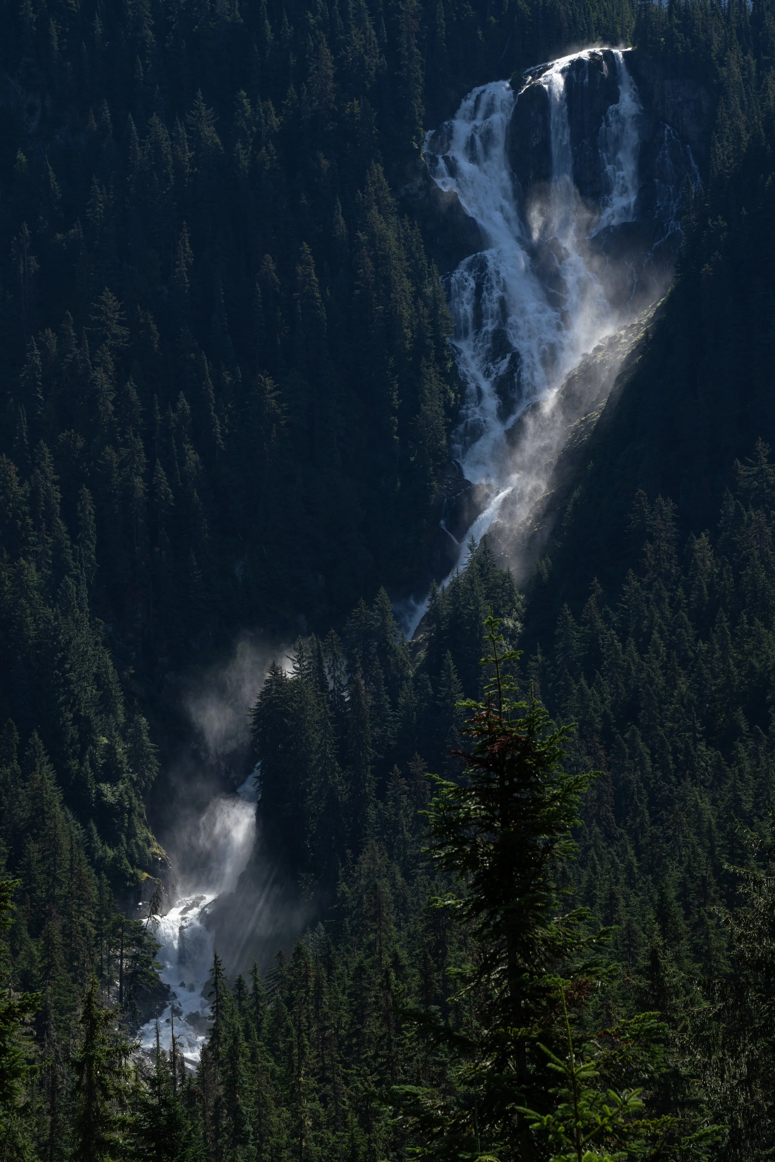
Odegaard Falls from viewed from the rec site.
On the way we stopped at one of the most interesting places I have been lucky enough to see. A large ice cave had formed from water running down the mountain beneath the snow and ice buildup from the previous winter. A short walk up a bit of loose skree took us inside this cave where I then spent the next half hour trying to find the most interesting shots both inside and out. These turned out to be some of my favourite shots of the entire trip, not sure if I will get a chance to be inside anything like it again with the light and shadows on the roof of the cave.
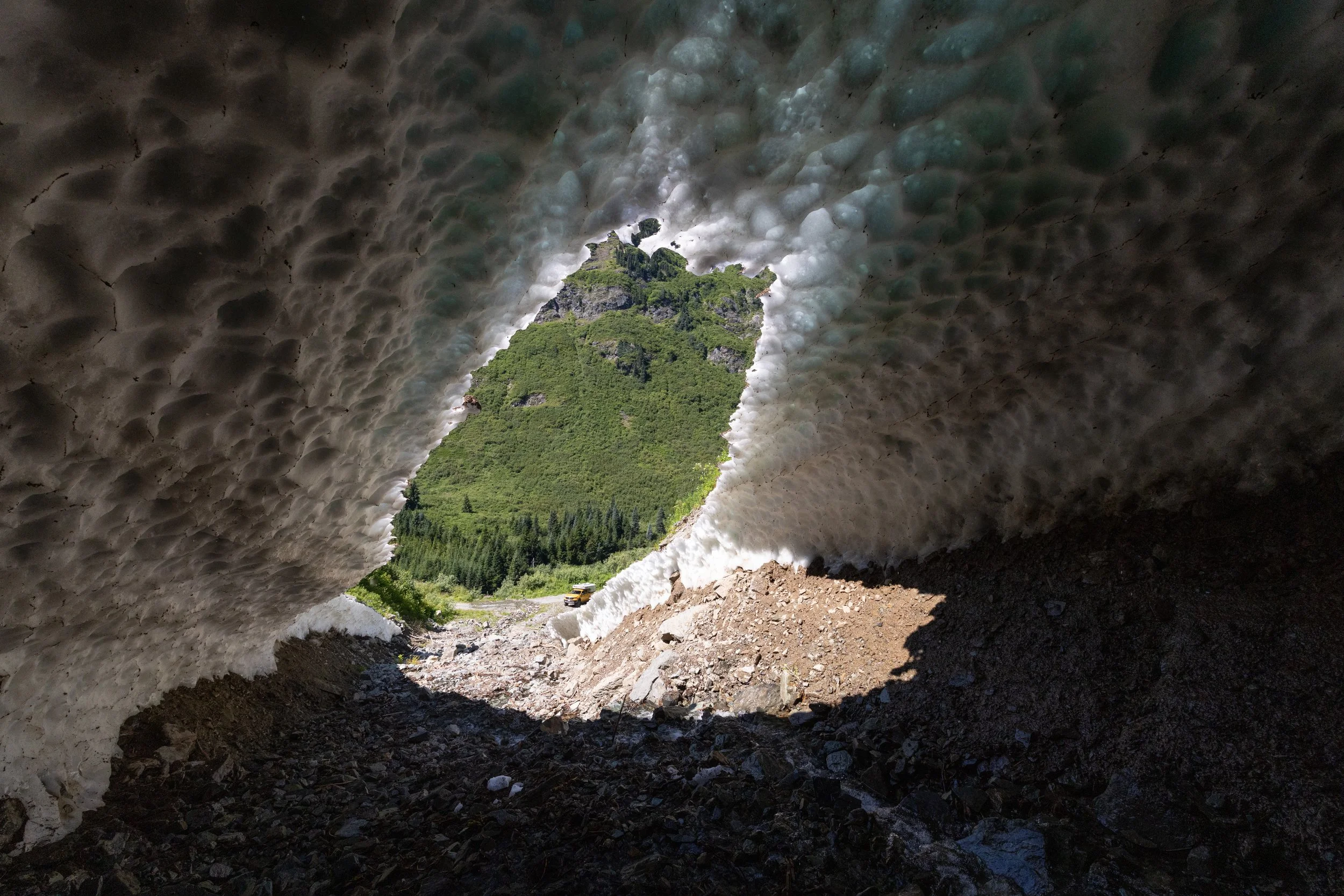
looking down at the truck from inside a really cool ice cave.
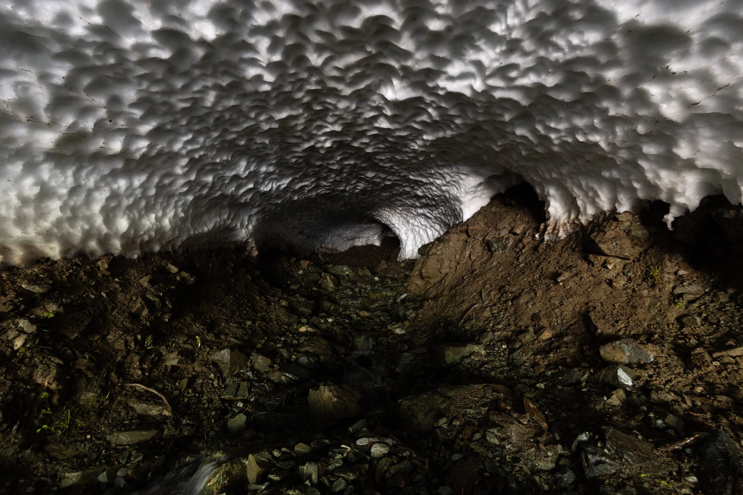
Not sure how far we could go up into the ice cave but it seemed to go on for at least 100 metres.
After the cave we kept on up the road with more and more spectacular mountain views around every corner until we reached the end of the road. Purgatory Glacier viewpoint turned out to be one of the best campsites we have ever had. Another couple showed up later in the evening and we enjoyed drinks while taking pictures and timelapses throughout the evening and morning.
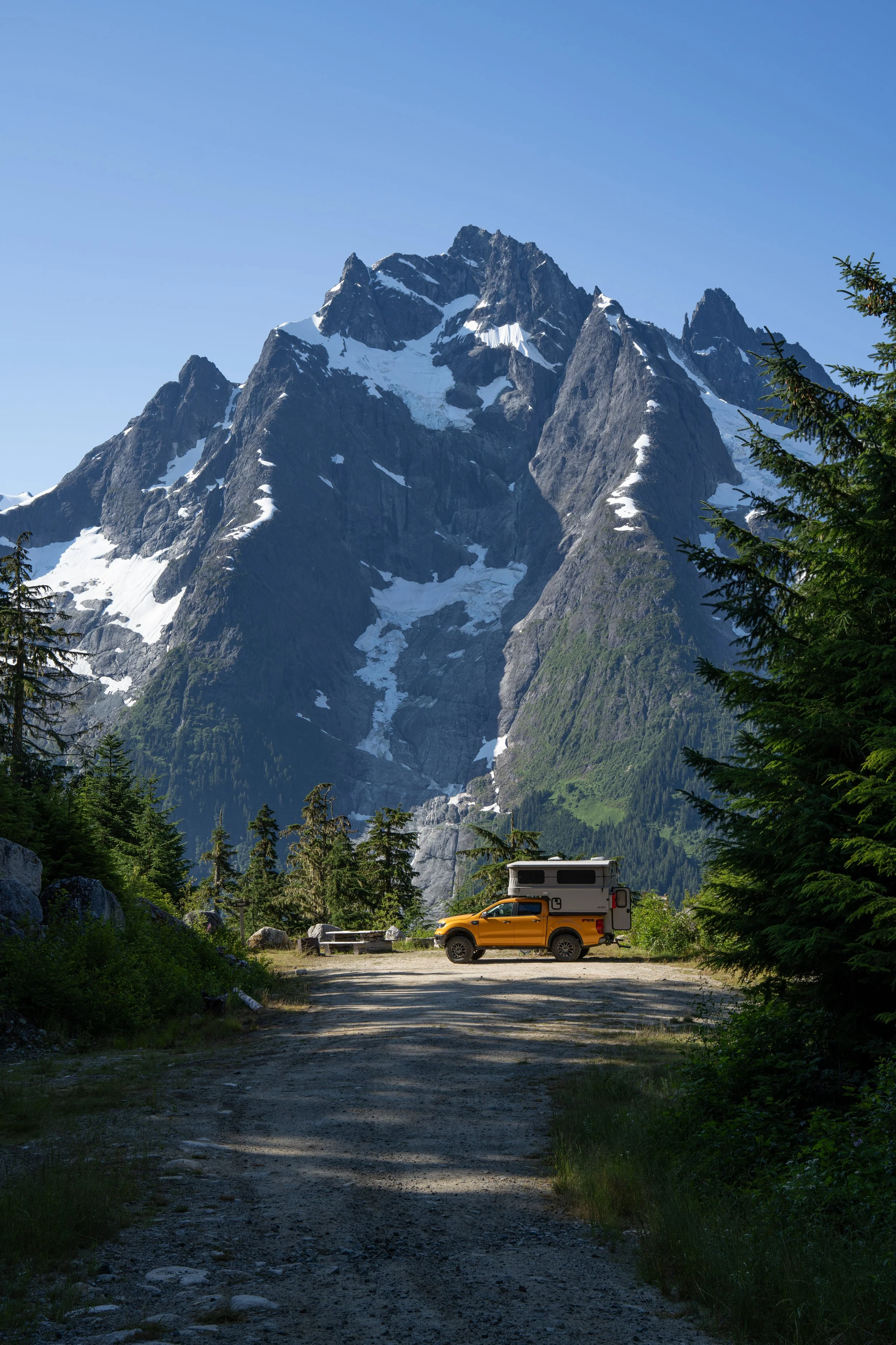
Maybe one of the best campsites, Ever!!!
Up the Hill
The next leg of the trip took us up the “hill” and out of the valley towards some of the mountain lakes. The first stop was a more relaxing trip on a smooth dirt road out to a rec site on Tatlayoko lake. I had no idea there was so much ranch land up on that plateau, seems there was an interesting history of cattle ranching out in that area.
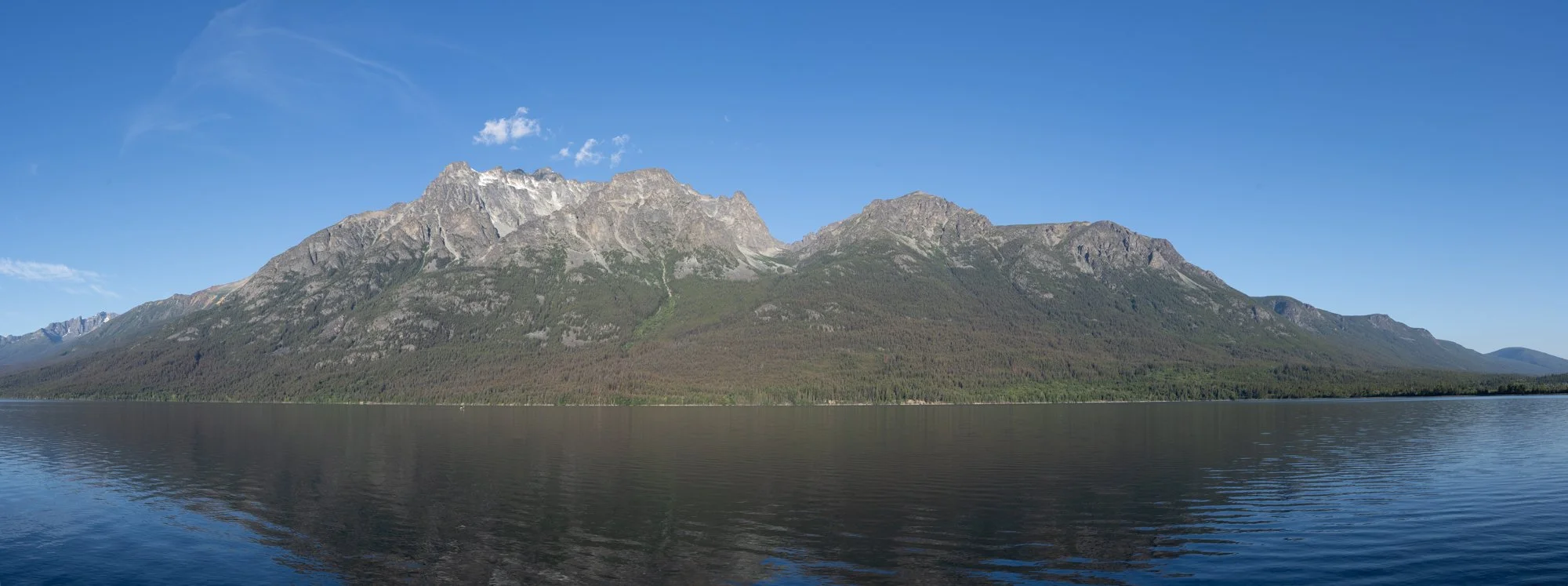
View from our campsite at Tatlayoko lake
From here we made our way back to highway 22 and took the long route down through the Nemaiah Valley to Chilko Lake and Tsʼilʔos Provincial Park. Another lake surrounded by beautiful mountains and clear clean water, good enough for a very cold dip in the lake.
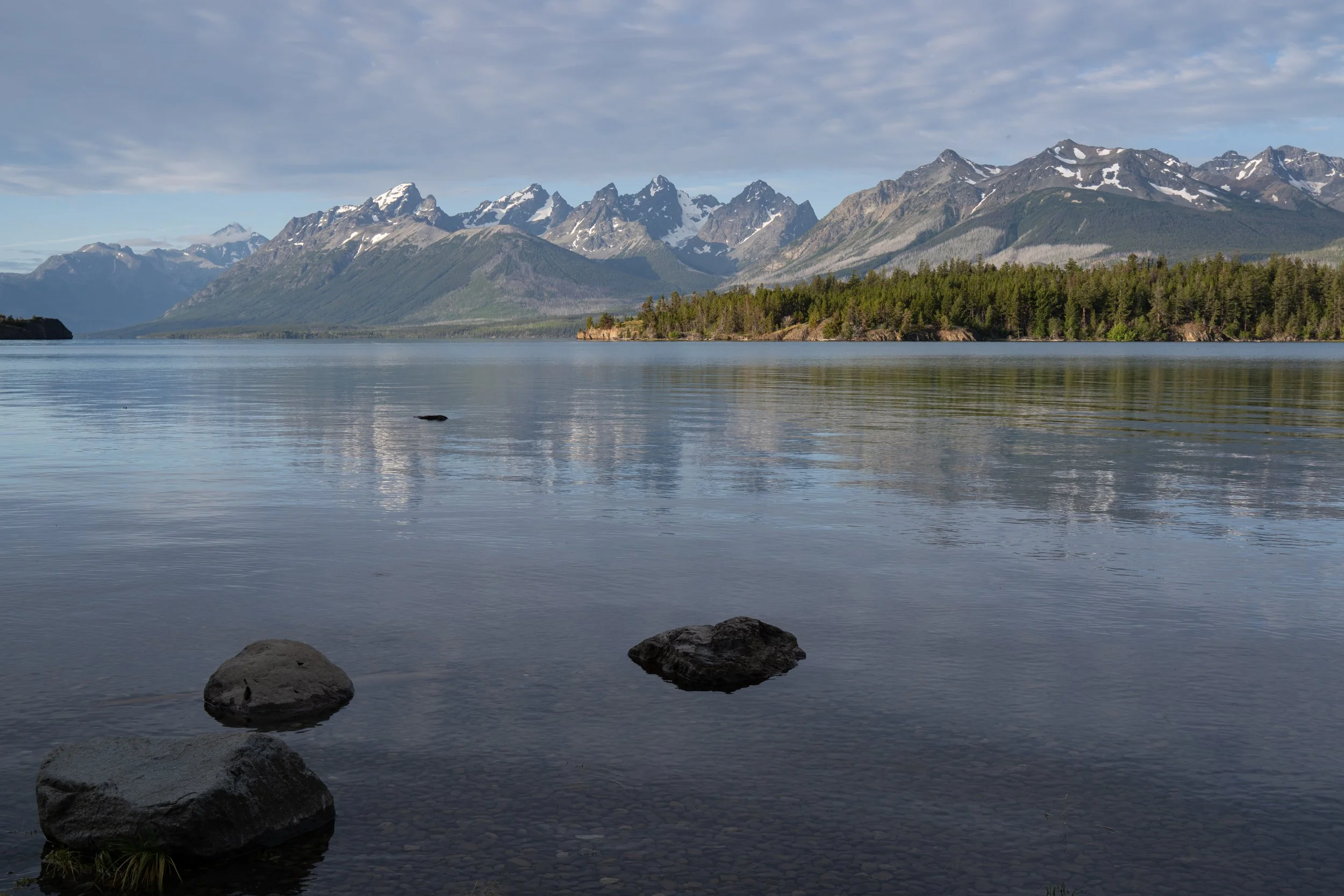
Another day, another amazing campsite this time on Chilko Lake
The way back
We decided to take a few more backroads on the way towards William’s lake. This took us through Farwell Canyon, a deep valley dug out by the Chilcotin River. At the point the road crossed the river we could see sand dunes and hoodoos on the other side of the river. With a thunderstorm on its way we ventured across and hiked up onto the sand dunes for a view both up and down the river.
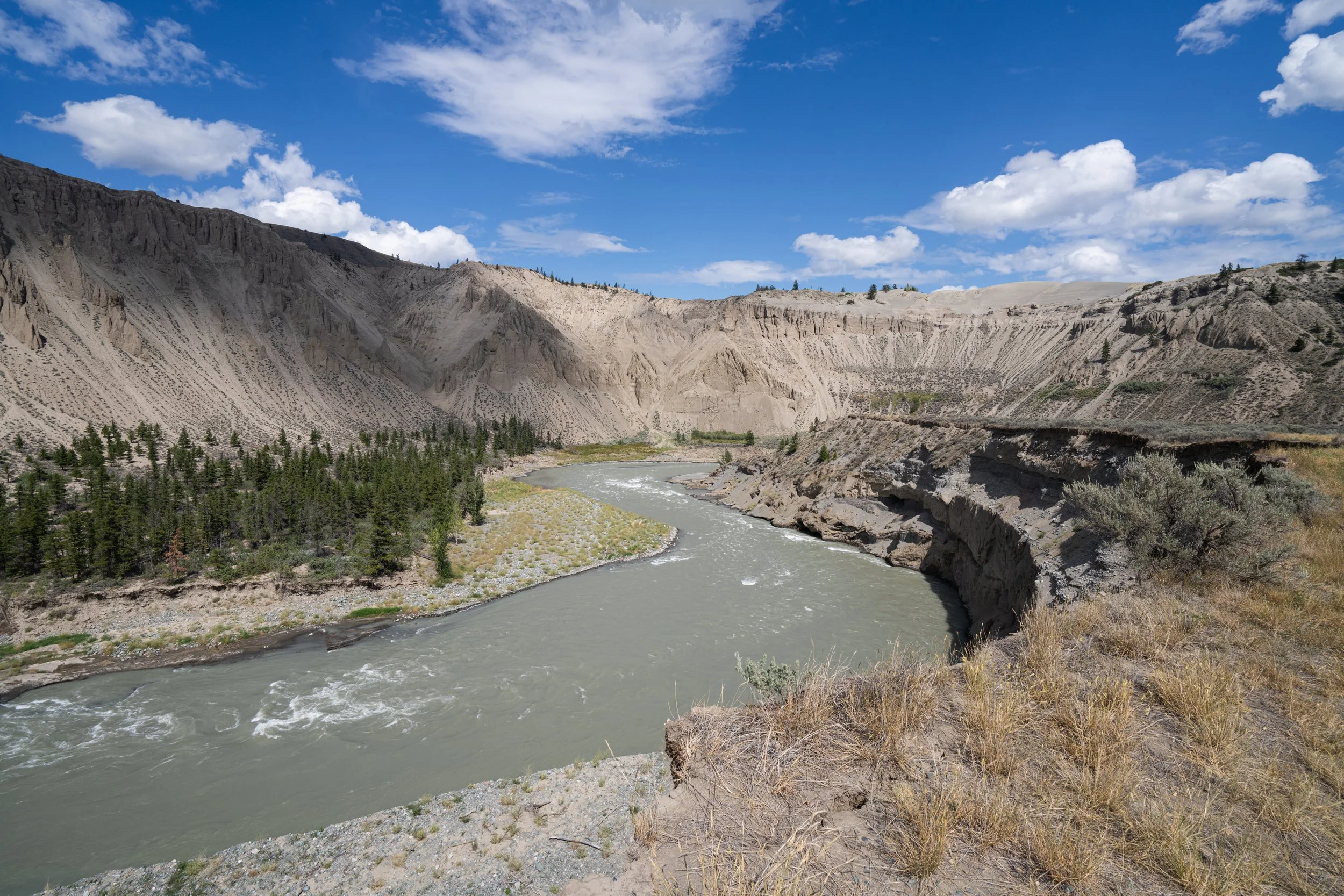
The dunes on top of Farwell Canyon with the Chilcotin River winding through.
If it wasn’t for the coming rainstorm I think we would have stayed in the area for the night and explored the area a bit more but as it was we managed a good hike and some nice shots.
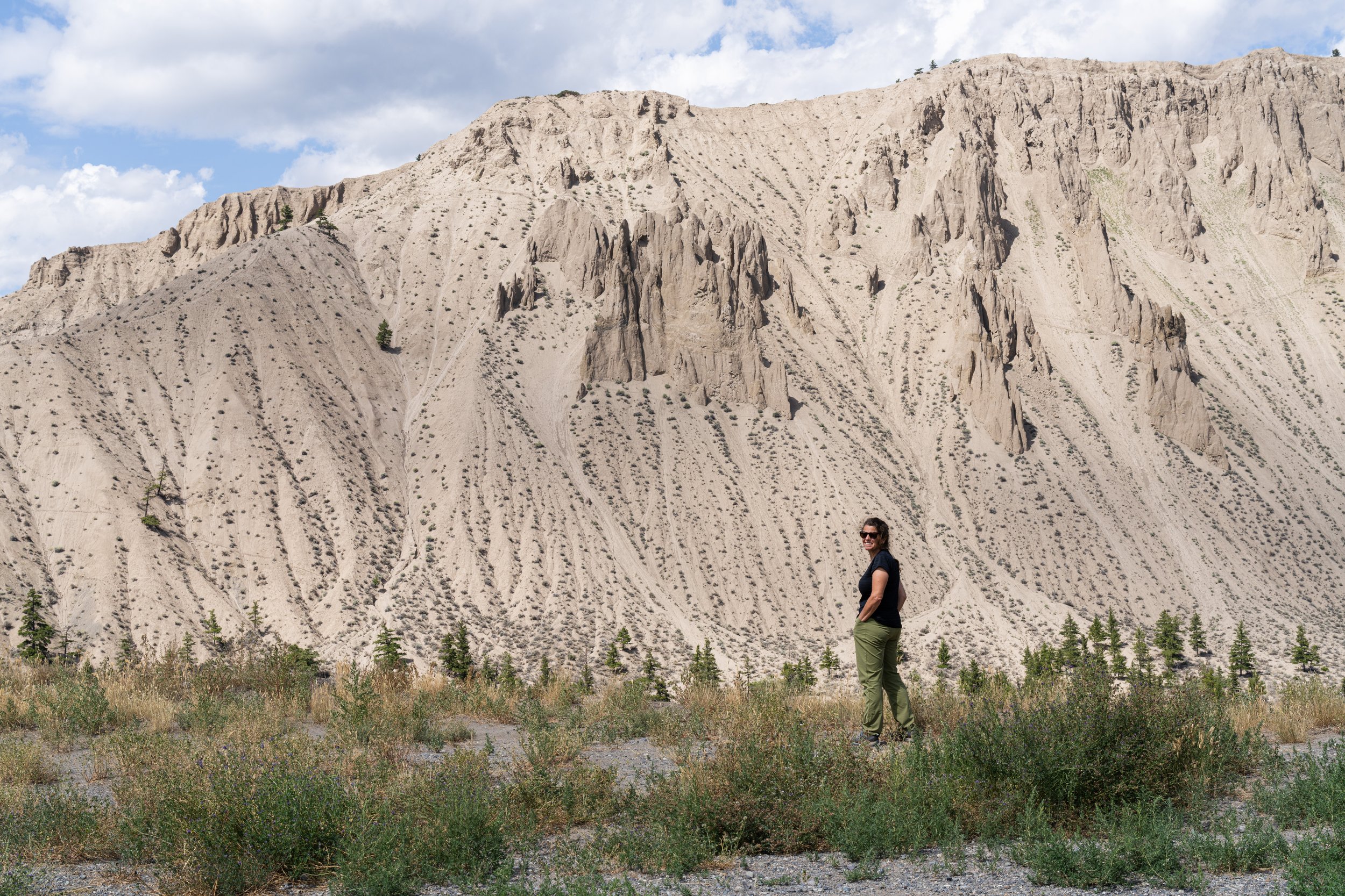
Salwa on the edge of Farwell Canyon with hoodoos in the background
This was really the end of the trip from a photographic point of view. From this point we headed to William’s Lake and then a roundabout route down to Squamish trying to avoid the worst of the fires in the area. We had been through this area more than 20 years ago and since that time it has become so busy that it seems to have lost much of what we would enjoy. Still a beautiful drive but definitely not how I remembered it. We stayed up off a forest service road outside of Squamish for the last night of the trip, another beautiful spot to spend the night overlooking Squamish Canyon and Mamquam falls away from all the people for one last bit of quiet before heading to the ferry and back to Campbell River.
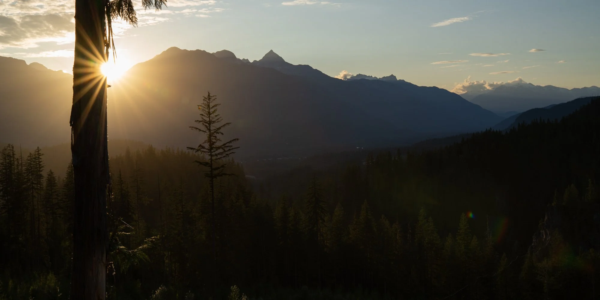
Final campsite overlooking the Squamish valley at sunset
Bella Coola was a fantastic place and I think we will go back again hopefully with a better chance to see some wildlife, although I could likely do another trip based entirely on landscape photography in that area as well. The whole trip made us eager to go further north in BC and up into the Yukon to get away once more. I’m sure Salwa is already making plans and researching a route, I’ll have my camera ready.