
Photo locations, techniques and technology. Highlights of locations we frequent as well as features on how and why we shoot the way we do, including gear reviews specific to nature photographers.
Bella Coola Photo Trip
We have done a good number of smaller camping trips around the island with some interesting photo opportunities for both landscape and wildlife but we have wanted to do something a bit more grand. Well a long ferry ride to Bella Coola pretty much fit that bill.
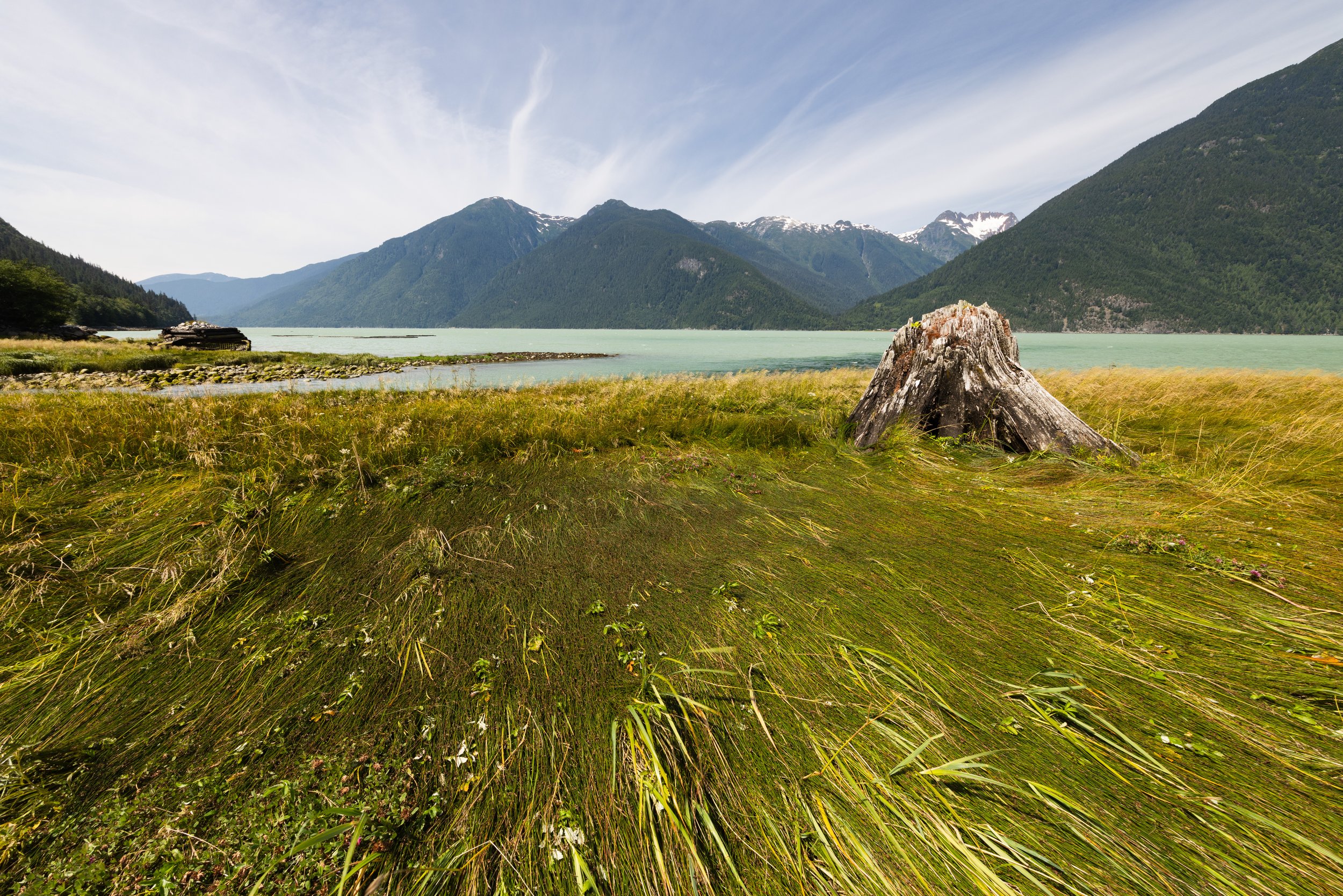
Looking down the North Bentinck Arm from just outside of Bella Coola
It has been an interesting summer in the Pacific Northwest, fairly hot for our rainforest area, forest fires getting out of control on the mainland, and finally most of the work around the house is coming to completion. We have done a good number of smaller camping trips around the island with some interesting photo opportunities for both landscape and wildlife but we have wanted to do something a bit more grand. Well a long ferry ride to Bella Coola pretty much fit that bill. Bella Coola is a tiny town on the west coast of British Columbia with only 2 ways to get there. One is a 5 hour trip from Williams Lake along a fairly lonely “highway” down what they refer to as “the hill”, a very steep decent from a plateau down to sea level into a beautiful valley surrounded by large granite rock. The other way is via a 10 hour ferry from the north end of Vancouver Island through some of the most beautiful waters and fjords in North America. This is the route we started our trip on.
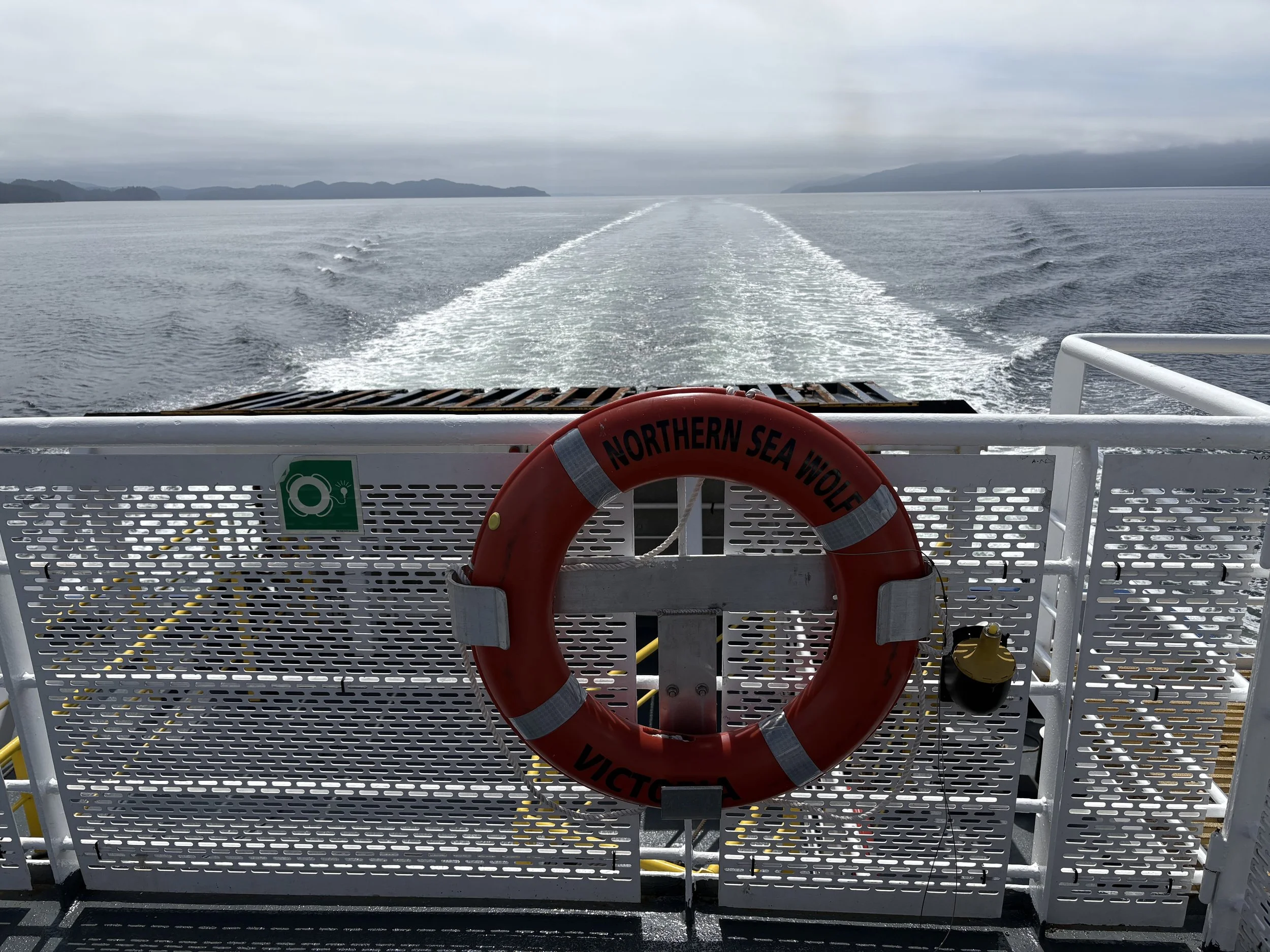
On the Northern Sea Wolf heading to Bella Coola with Vancouver Island way behind us.
The Ferry Ride North
The ride up to Port Hardy to get to the ferry is only about two and a half hours from home but that route it is also the access point to much of the more interesting parts of North Vancouver Island. On this trip we camped just outside of Port Hardy so that we could get in line for the early departure. Our campsite was near a salmon hatchery that was about 3 weeks away from seeing the first of the pink salmon to move upstream, so it was pretty quiet.
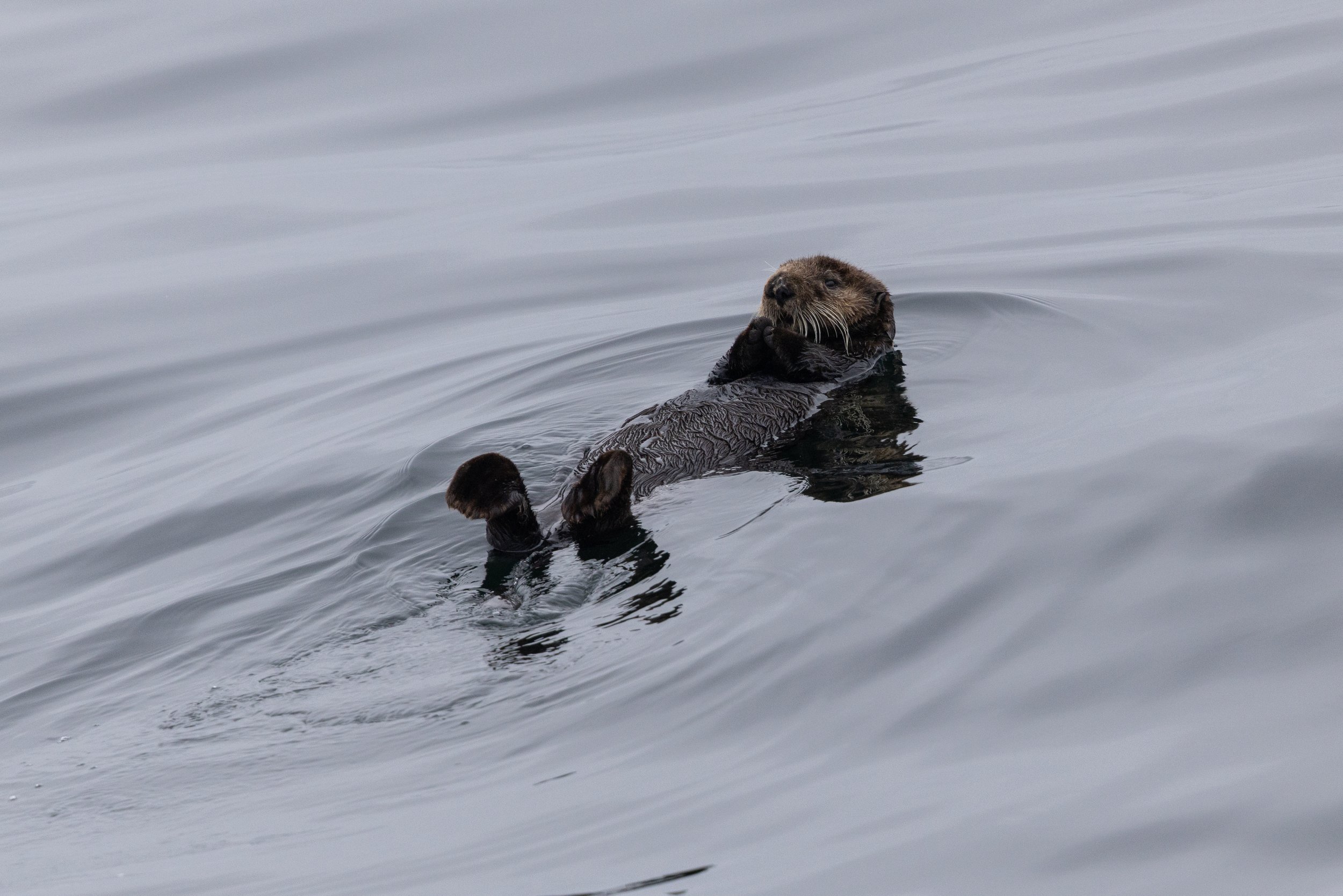
Looking down from the top deck of the ferry on a very cute sea otter floating on its back.
We sailed off on a foggy morning with low hanging clouds for the first couple of hours, it was still nice enough out for us to stay outside on the main top deck of the ferry watching for sea life. If you kept your eyes on the water you might be lucky enough to see the odd sea otter just floating on the water and a couple of them stayed there as the ferry went by, allowing for a few cute shots. A short time later we found a humpback whale that was pretty active, breaching a few times in the distance and I was able to grab a few quick shots as it launched into the air. This is the first time I’ve been able to get shots of a breaching whale so I was very hopeful that the shots would be good enough as it can be very difficult to pick up the camera, find the subject, get focus and shoot off a few shots before the action is already over.
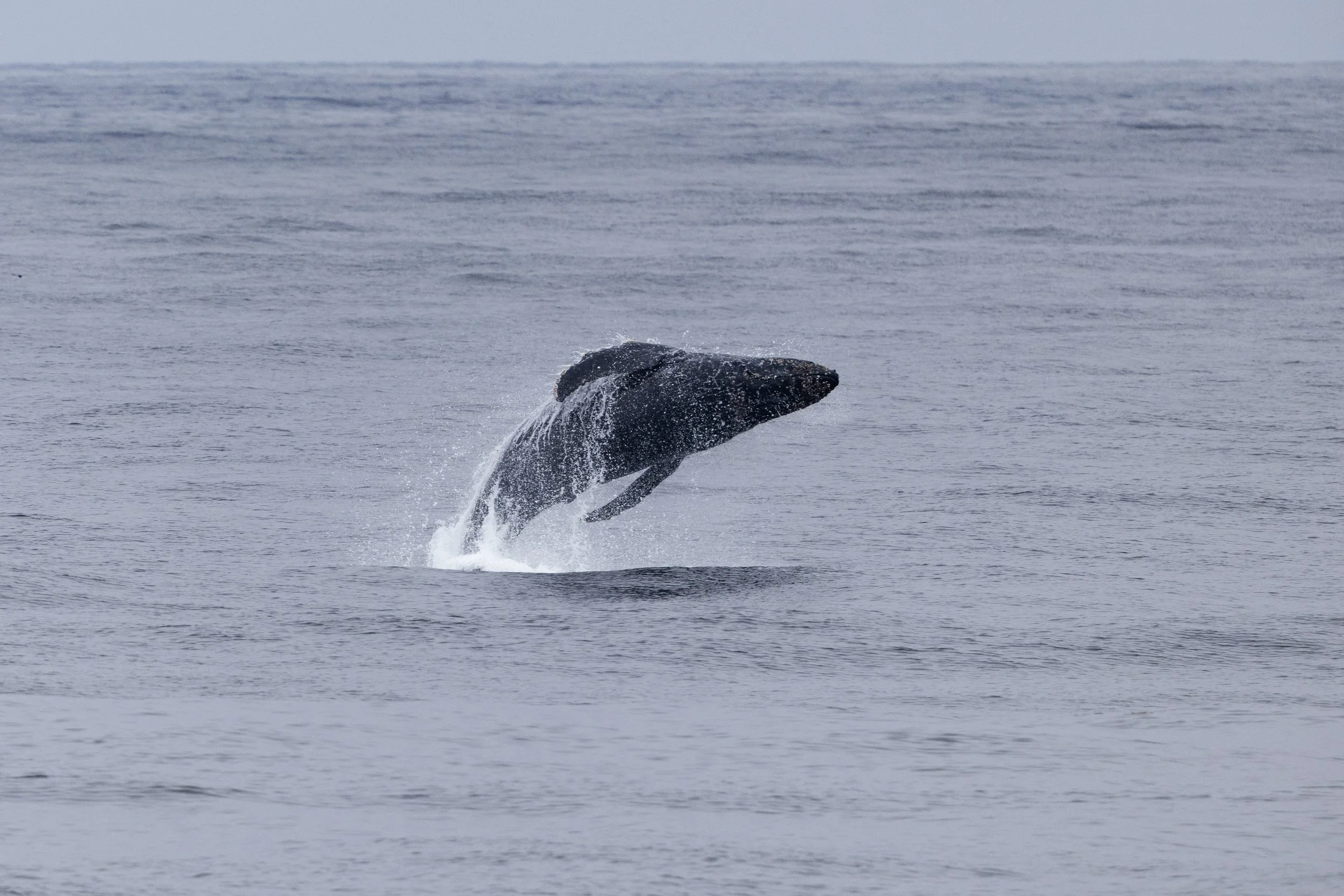
Humpback whale breaching in the distance as seen from the ferry
As we left the open water and started up the Burke Channel we changed over from watching the wildlife to just being in awe of the surroundings. The mountains came down to the water in so many interesting forms - from long forested slopes to steep, shear rock faces. The weather had cleared up by this point and I wonder if those low hanging clouds might have made more interesting shots of these landscapes. Never the less, I have some interesting shots and it was amazing just watching this scenery pass by for hours. We never got tired of it, always looking around the next corner wondering what we might see next.
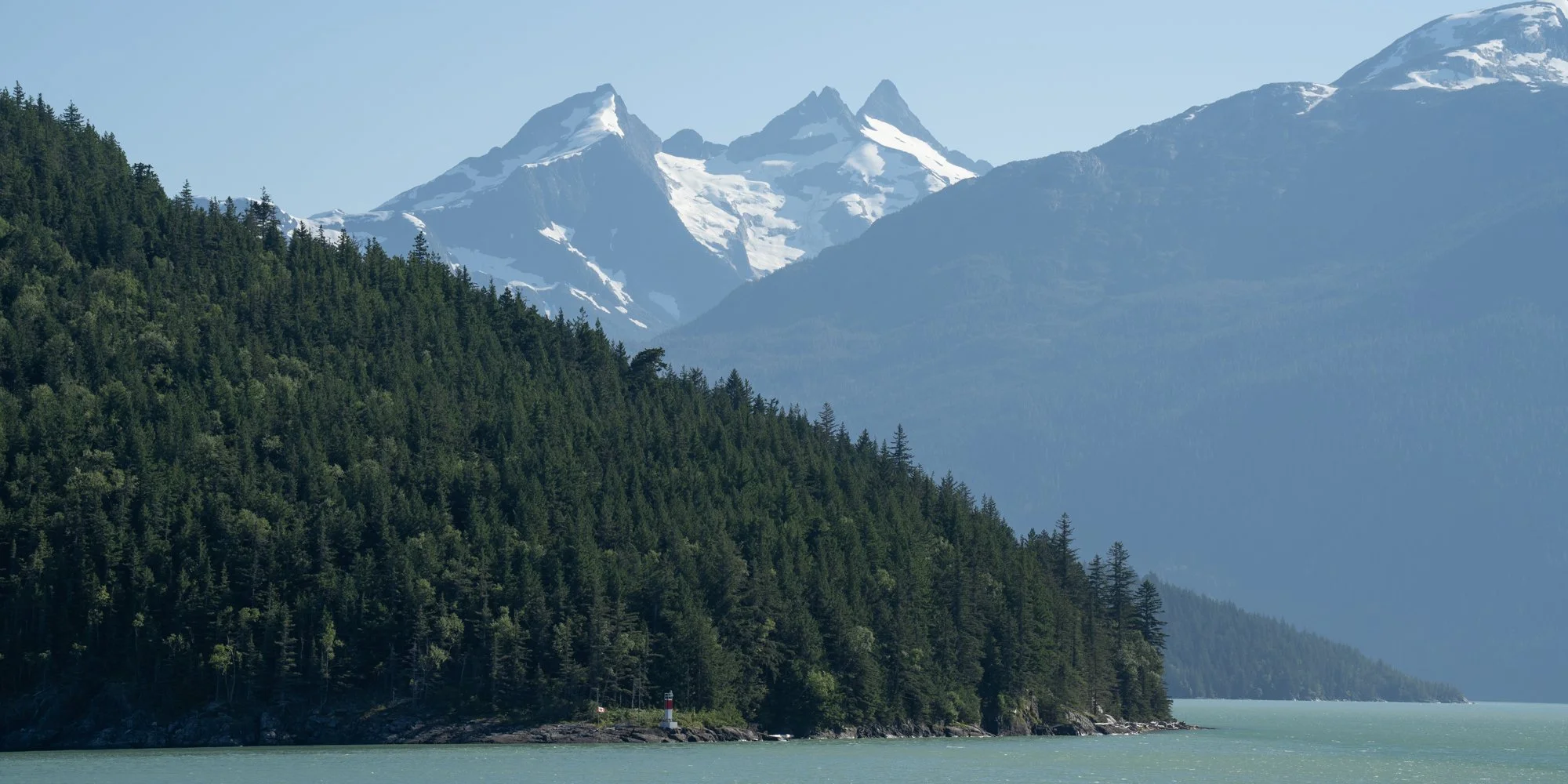
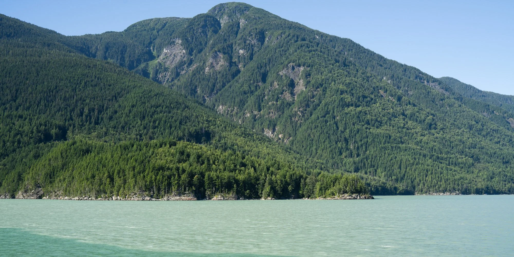
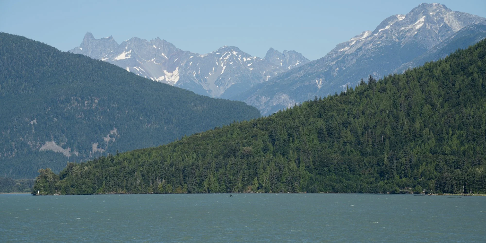
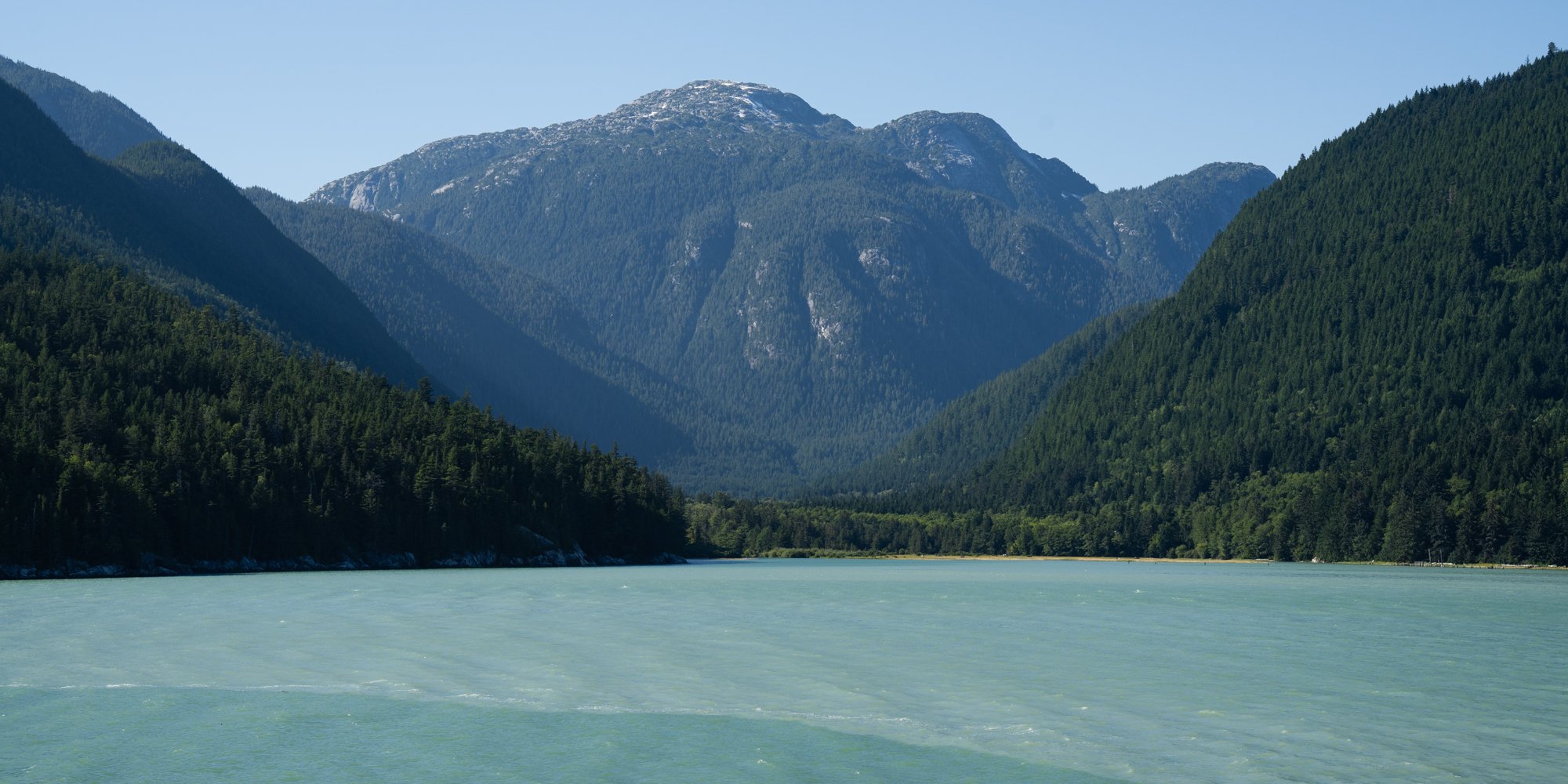
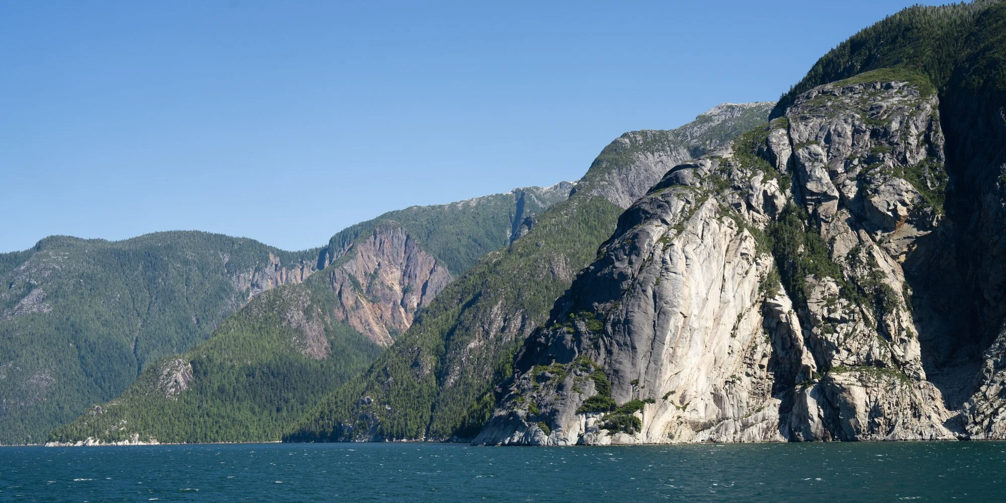
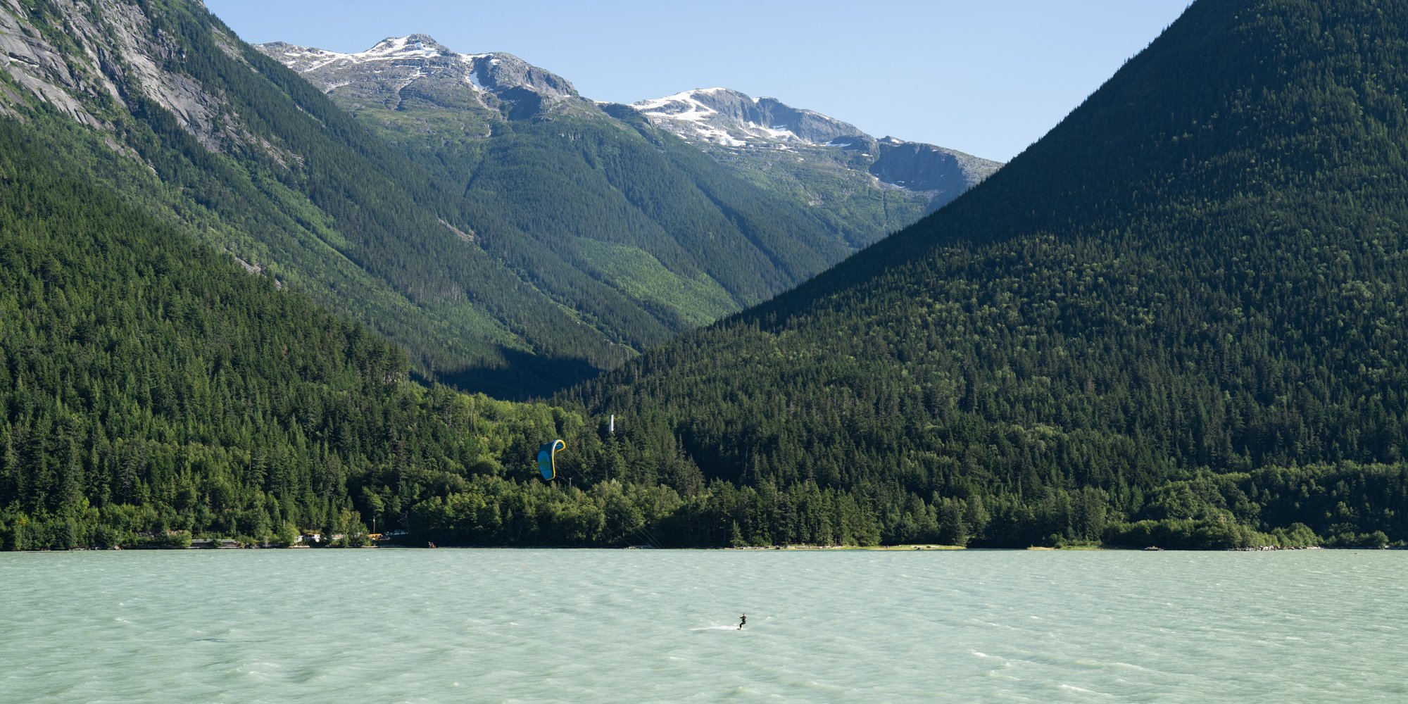
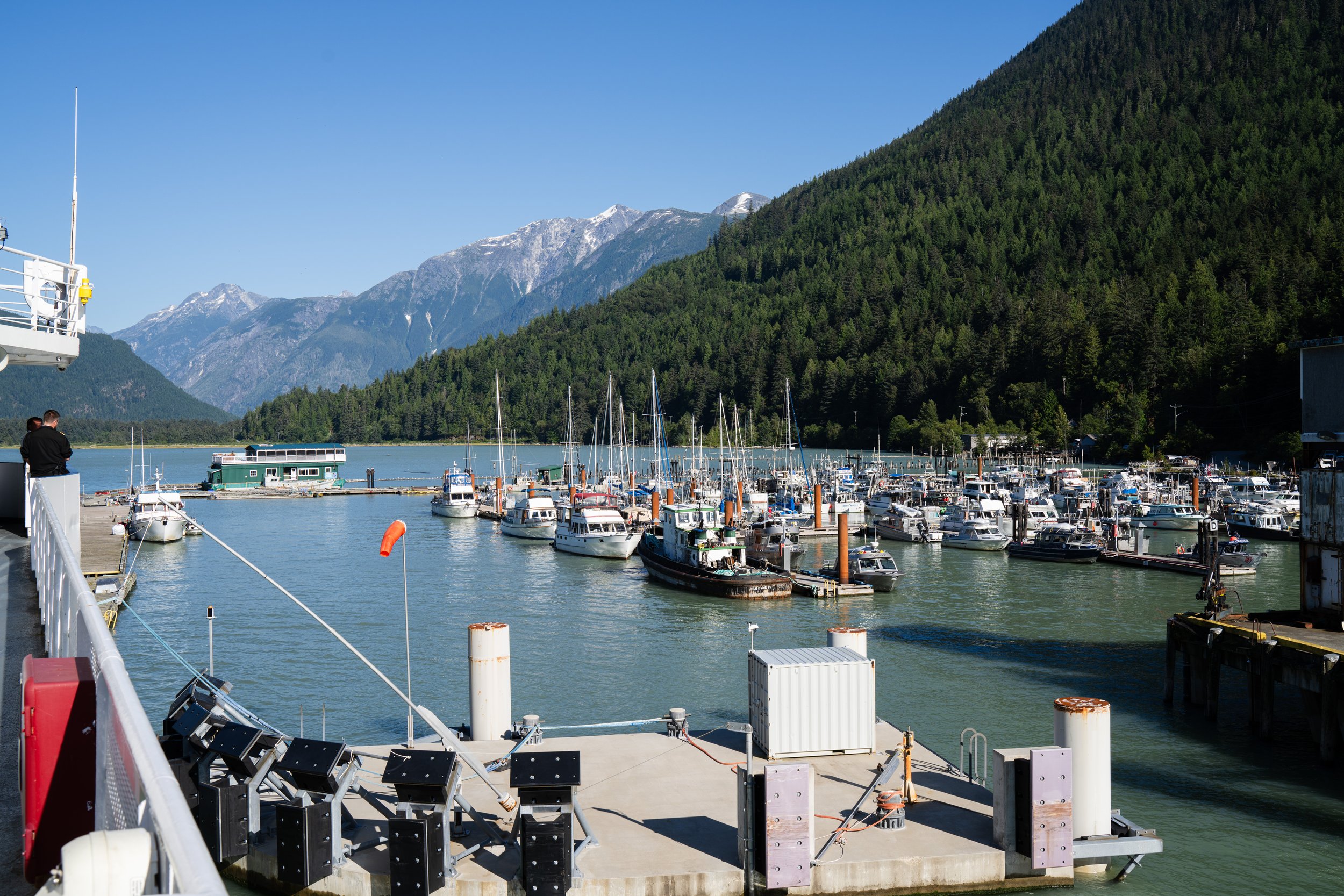
The end of the channel as we docked in Bella Coola felt like we were entering a different world, mostly just a dock and a few fishing boats with an estuary at the end of the channel we still had no real idea what the town of Bella Coola looked like.
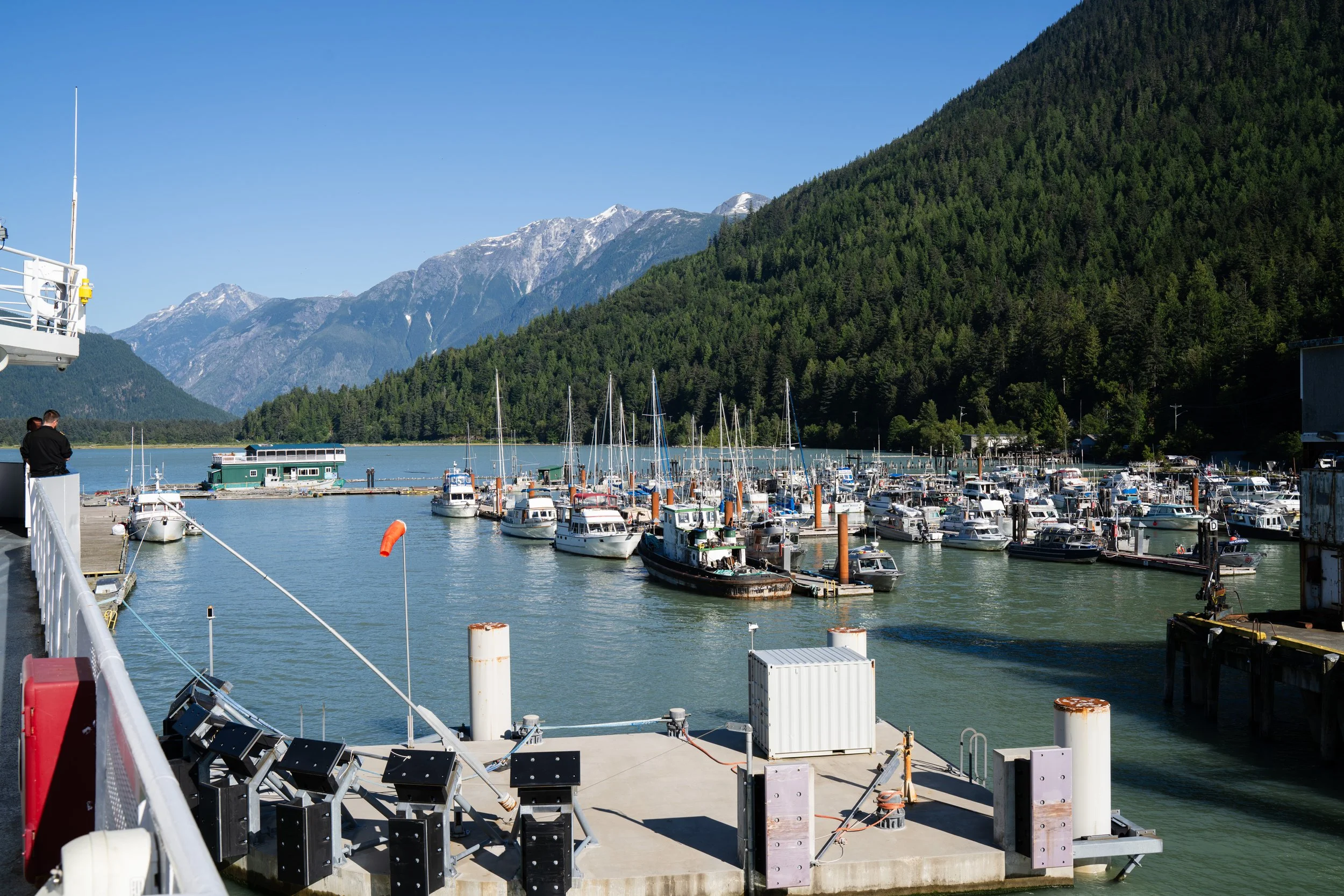
Port and ferry terminal coming into Bella Coola
Bella Coola Valley
A 2 minute drive off the ferry and we found a very small town with a grocery store, liquor store, gas station and not much more. It felt more like a town from the 1970s and I have a feeling much of it was from that era. What did stand out immediately was the scenery, we were in a deep valley with high walls leading us up the Bella Coola river. A very lush valley, with farms along the highway and a few dirt roads leading off to hopefully interesting locations.
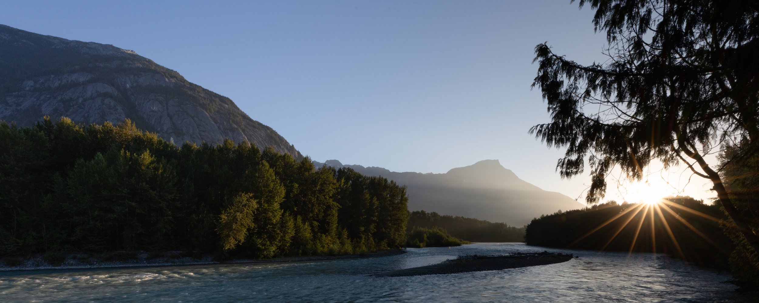
Sunrise on the Bella Coola river from our campsite at Rip Rap.
We took the easy way out for our first night and had booked Rip Rap campsite just outside of Hagensborg, a nice quiet spot along the river which might have afforded us some grizzly moments if we had been just a few weeks later in the season but at this time it was just a relaxing spot to watch the sun disappear behind the mountains.
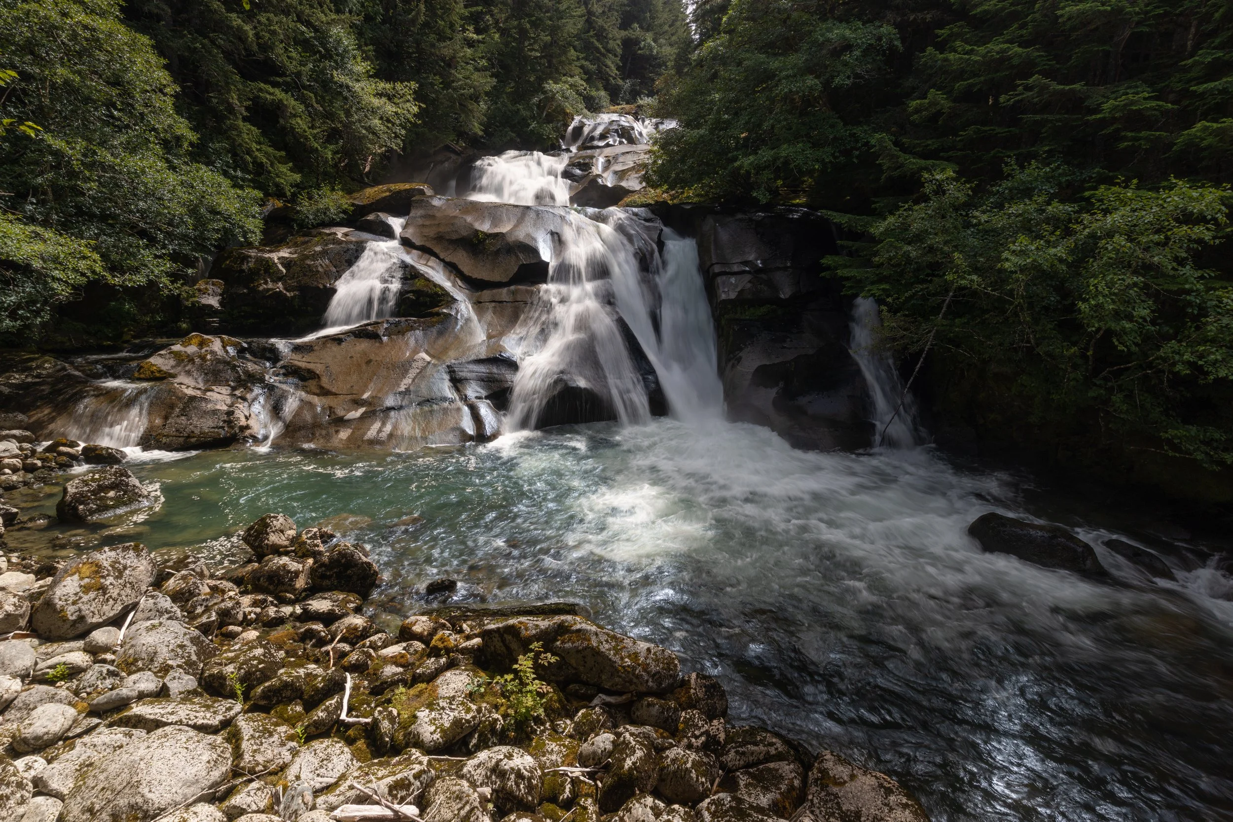
Clayton Falls
The next day we started into more interesting terrain. Back past Bella Coola to the estuary and a beautiful waterfalls beside the hydro station we started up a forest service road towards a hike Salwa had found that would take us to some mountain lakes and a possible view back down into the Bella Coola valley. This road turned out to be a pretty good learning moment for how our truck and camper could handle very narrow and steep climbs with the last hour or so of the climb being a very slow road with branches pinstriping the truck almost all the way. The truck was up to the task, and my confidence in my own capabilities increased after this run as we peaked out at a little more than 4,000 feet above sea level to head out on the hike.
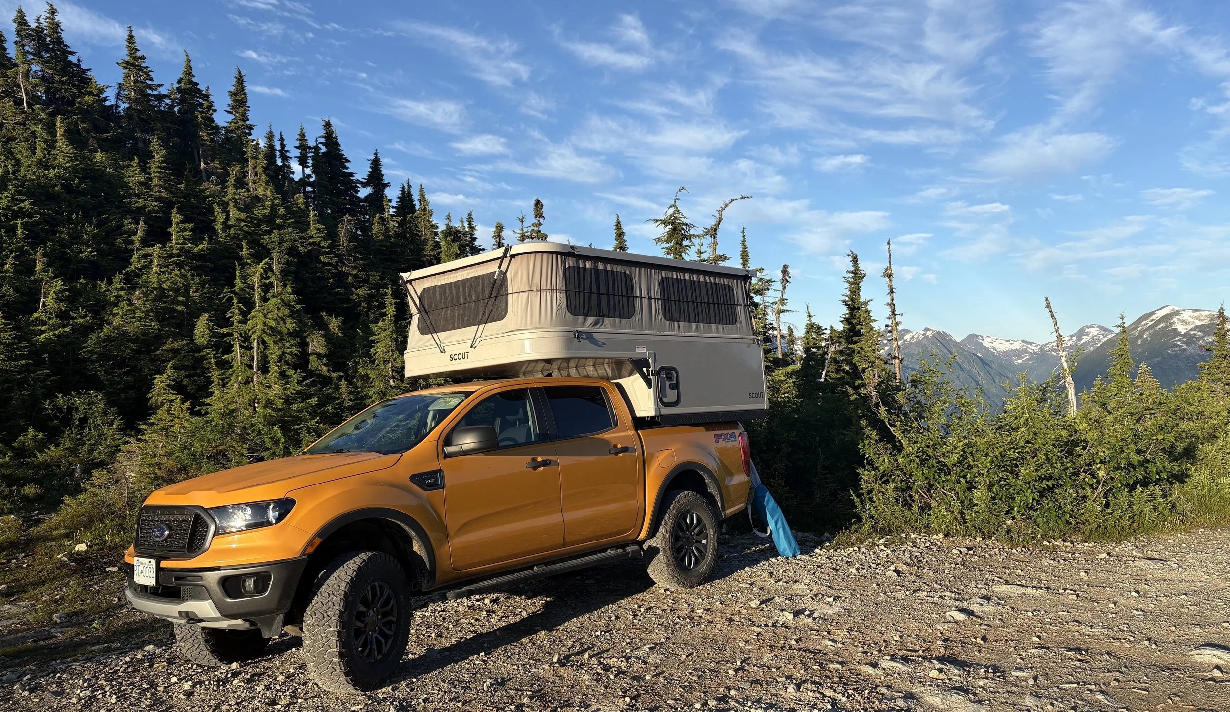
Parking spot at the summit, beautiful views but so many bugs.
This was our first chance for some interesting shots of the mountains and the hike did not disappoint with views in every direction. We made our way up along a creek to a beautiful mountain lake, around the lake and then managed to lose ourselves missing the turn up to the last viewpoint. As usual our mistake found us in another interesting location with some more amazing views but by the time we found our way back to the turnoff, it was getting late in the day and we decided it was best to get back before nightfall.
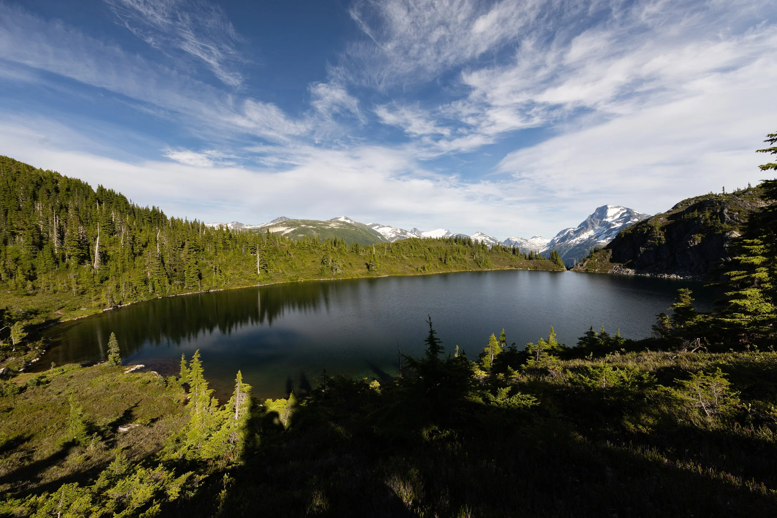
Clear air and a beautiful view across the mountain lake back to where we started.
With the sun starting to set, the scenery back down the creek was even more spectacular than it seemed on the way up. Once back to the truck we decided that where we were was going to be our best camping location and the horse flies and mosquitoes made it quite clear that we were going to be spending most of our time inside that night.
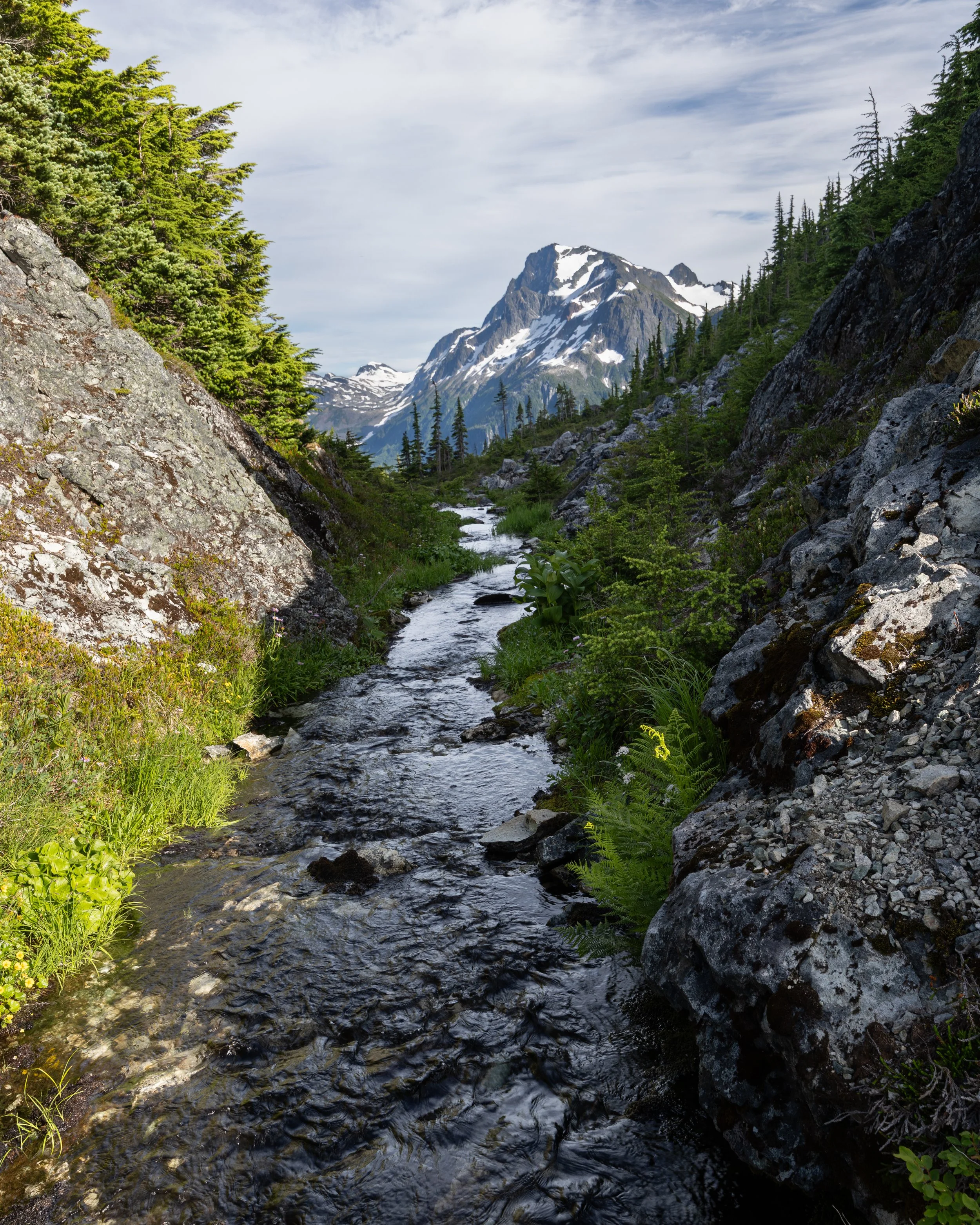
The hike back down from the mountain lake was possibly more spectacular than the views on the way up.
The way back down was nearly as slow as the way up, negotiating deep holes and loose rock much of the way down but we made it back down for breakfast back at the estuary ready for the next leg of the trip up the valley.
The next destination was a couple hours up another Forest Service Road as we headed towards Odegaard Falls. There is a single rec site with a beautiful view of the falls and the hike to the bottom of the falls was well worth the easy hike in. We decided not to stay at that rec site but wanted to continue upwards to what was supposed to be a fantastic view of a glacier another hour or so up the road.
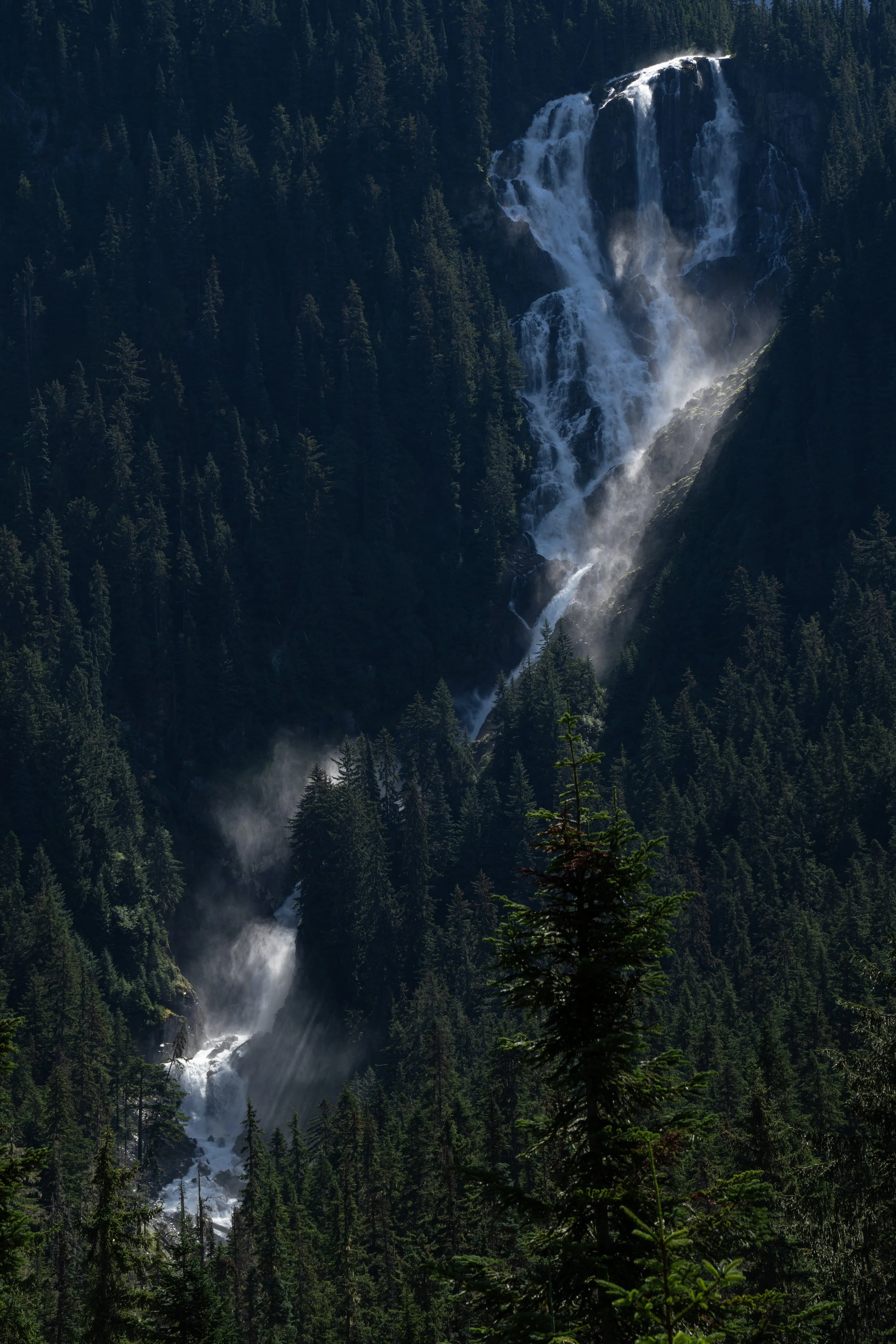
Odegaard Falls from viewed from the rec site.
On the way we stopped at one of the most interesting places I have been lucky enough to see. A large ice cave had formed from water running down the mountain beneath the snow and ice buildup from the previous winter. A short walk up a bit of loose skree took us inside this cave where I then spent the next half hour trying to find the most interesting shots both inside and out. These turned out to be some of my favourite shots of the entire trip, not sure if I will get a chance to be inside anything like it again with the light and shadows on the roof of the cave.
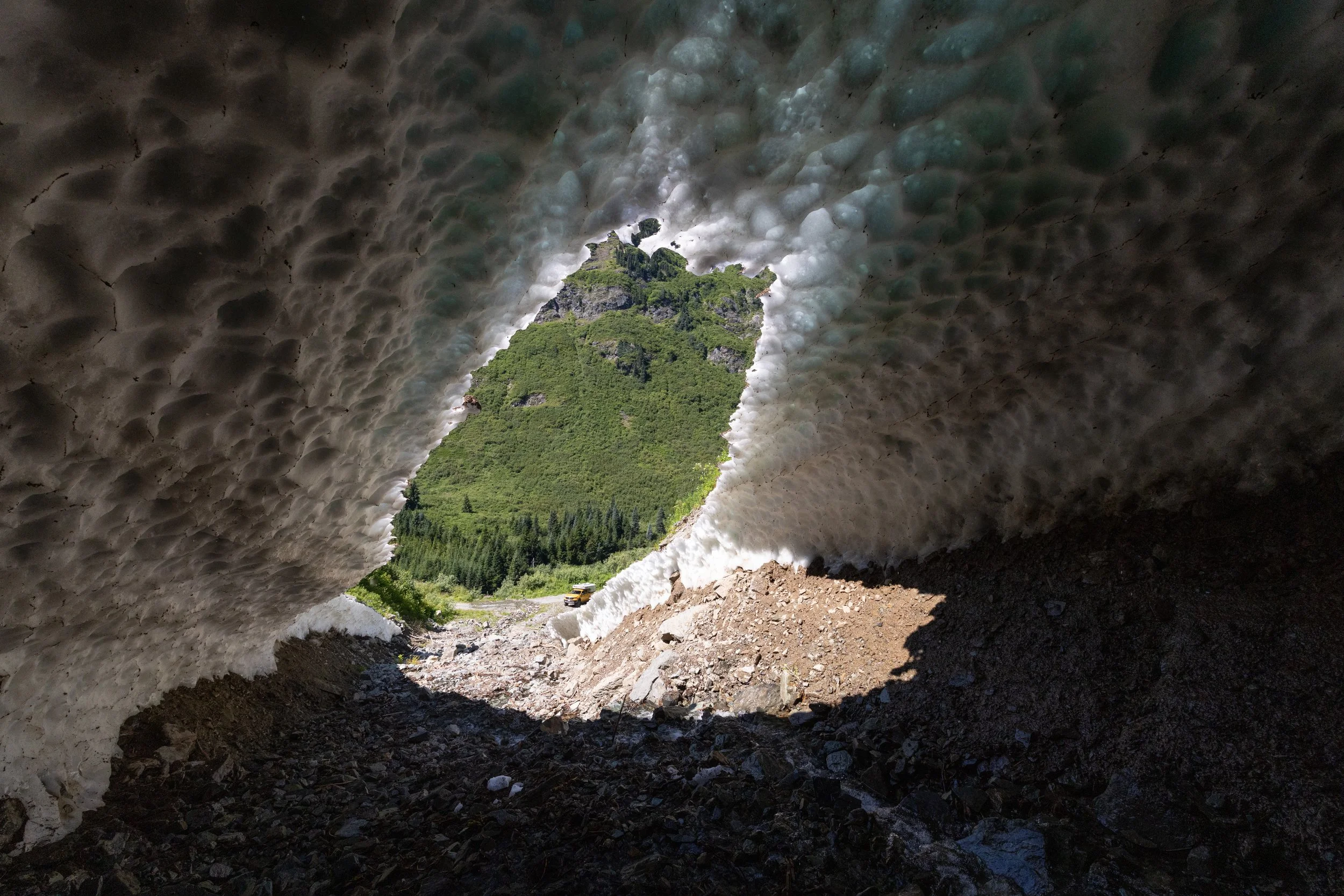
looking down at the truck from inside a really cool ice cave.
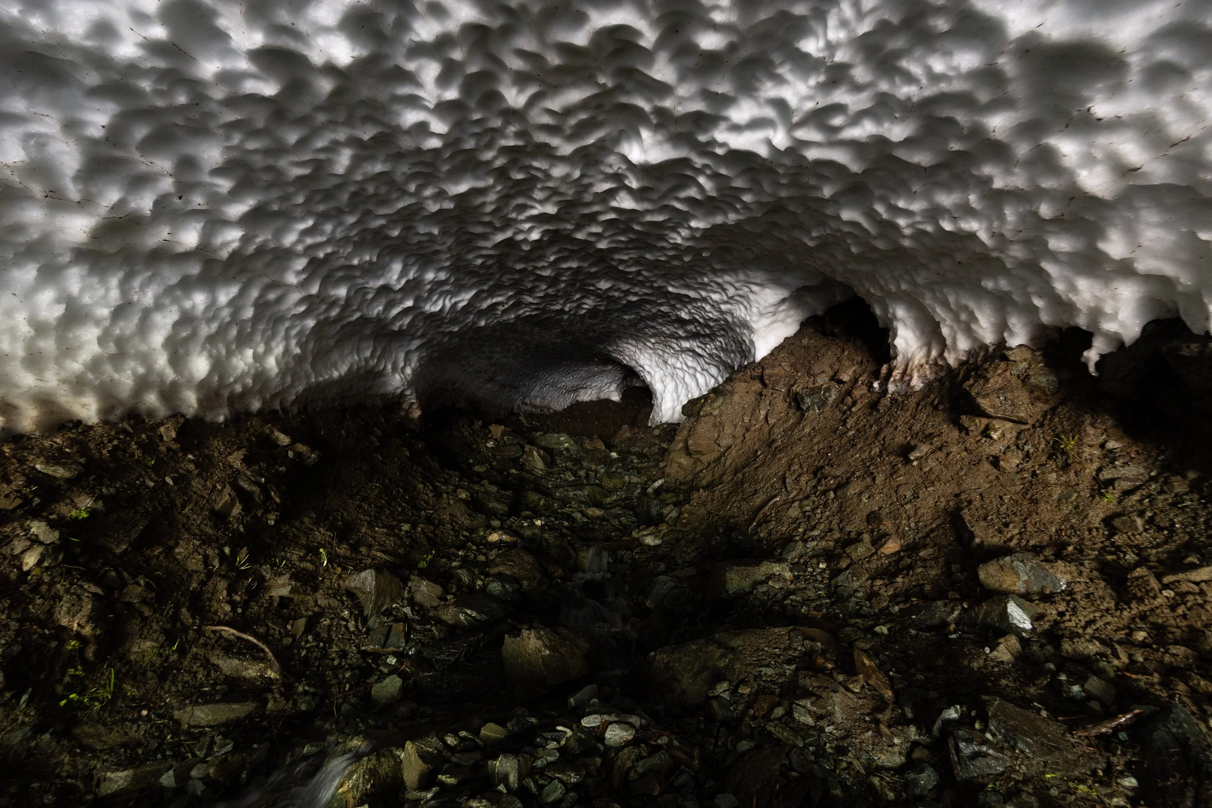
Not sure how far we could go up into the ice cave but it seemed to go on for at least 100 metres.
After the cave we kept on up the road with more and more spectacular mountain views around every corner until we reached the end of the road. Purgatory Glacier viewpoint turned out to be one of the best campsites we have ever had. Another couple showed up later in the evening and we enjoyed drinks while taking pictures and timelapses throughout the evening and morning.
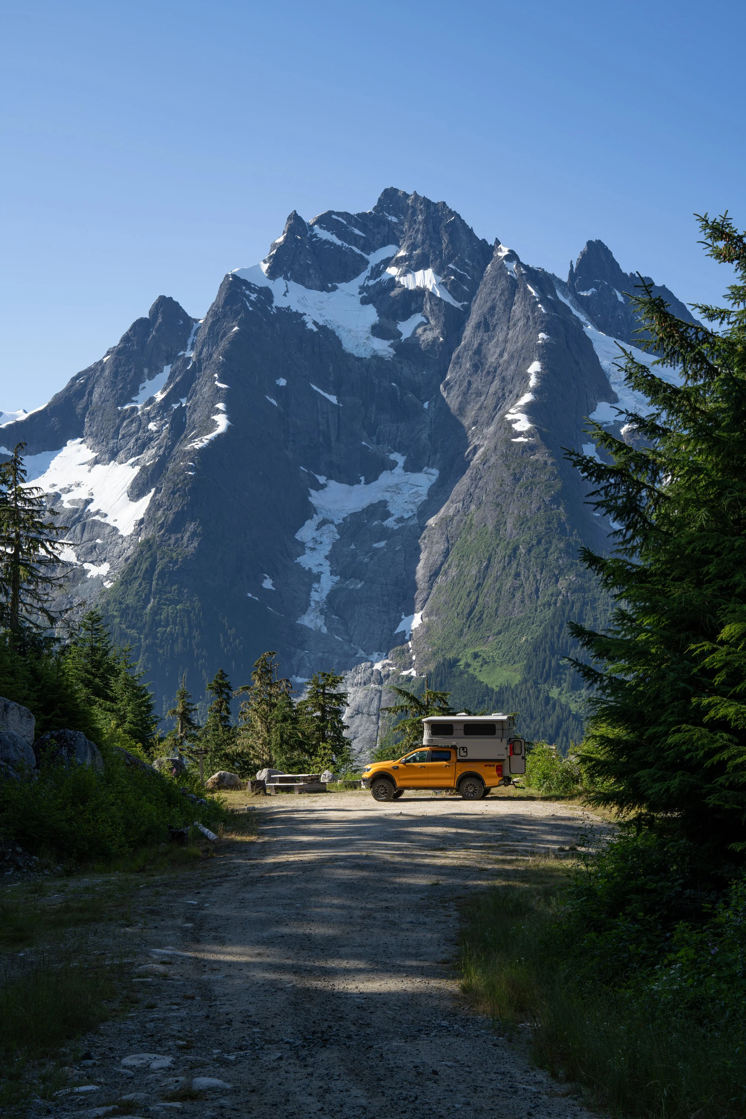
Maybe one of the best campsites, Ever!!!
Up the Hill
The next leg of the trip took us up the “hill” and out of the valley towards some of the mountain lakes. The first stop was a more relaxing trip on a smooth dirt road out to a rec site on Tatlayoko lake. I had no idea there was so much ranch land up on that plateau, seems there was an interesting history of cattle ranching out in that area.
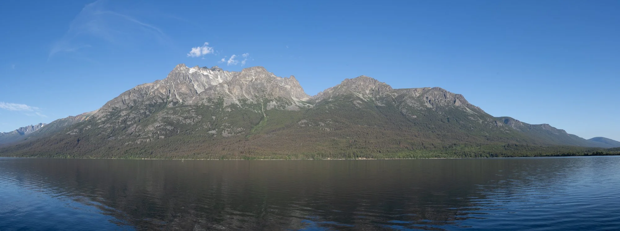
View from our campsite at Tatlayoko lake
From here we made our way back to highway 22 and took the long route down through the Nemaiah Valley to Chilko Lake and Tsʼilʔos Provincial Park. Another lake surrounded by beautiful mountains and clear clean water, good enough for a very cold dip in the lake.
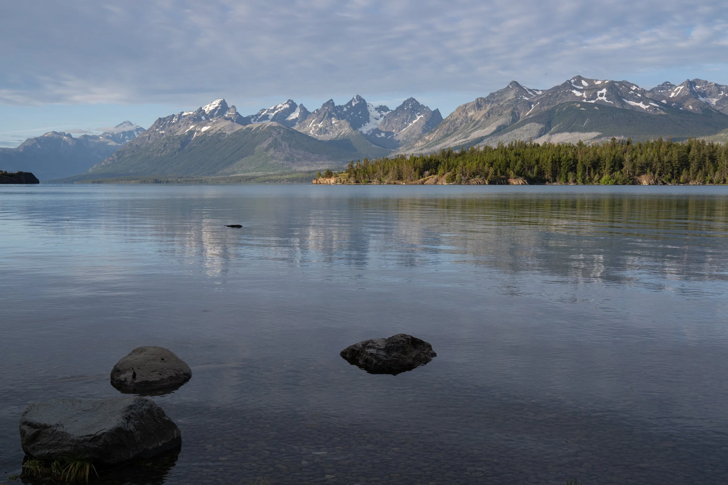
Another day, another amazing campsite this time on Chilko Lake
The way back
We decided to take a few more backroads on the way towards William’s lake. This took us through Farwell Canyon, a deep valley dug out by the Chilcotin River. At the point the road crossed the river we could see sand dunes and hoodoos on the other side of the river. With a thunderstorm on its way we ventured across and hiked up onto the sand dunes for a view both up and down the river.
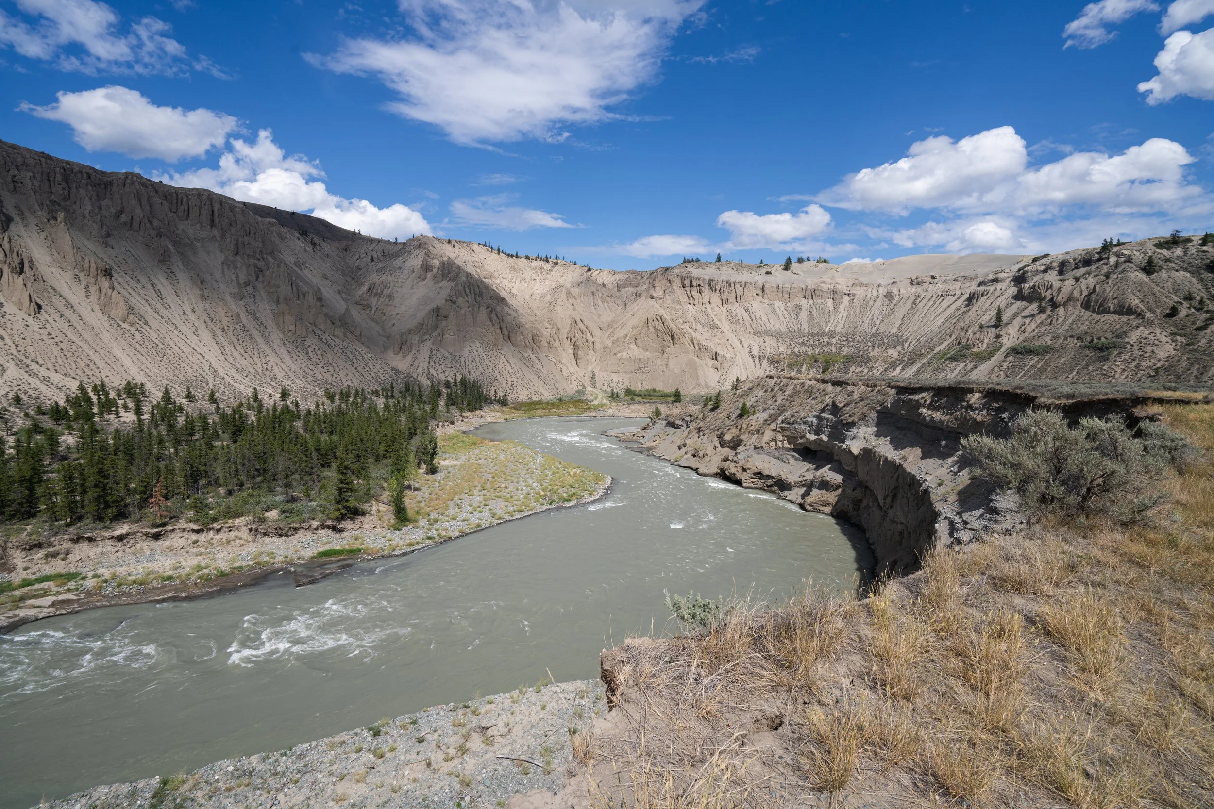
The dunes on top of Farwell Canyon with the Chilcotin River winding through.
If it wasn’t for the coming rainstorm I think we would have stayed in the area for the night and explored the area a bit more but as it was we managed a good hike and some nice shots.
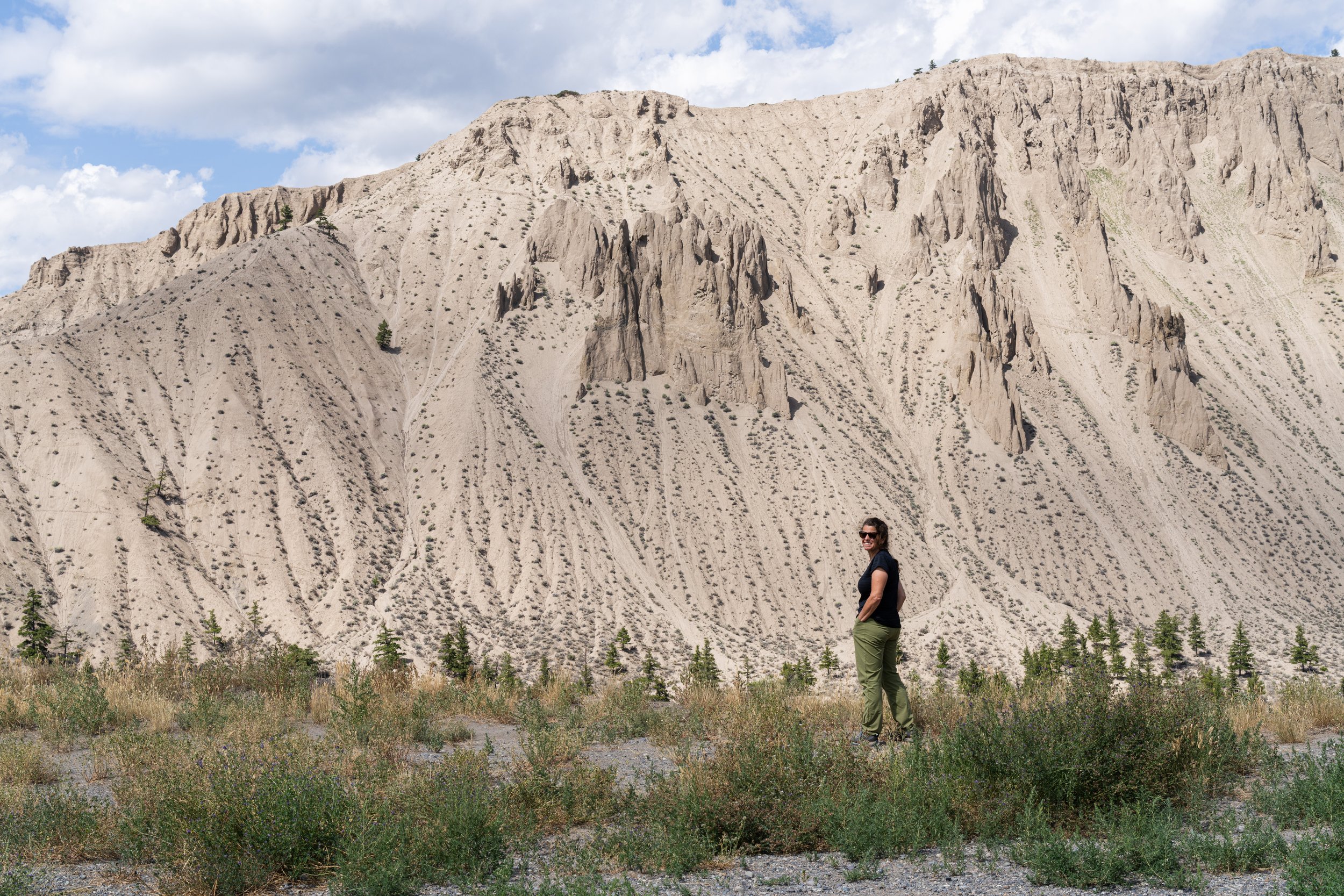
Salwa on the edge of Farwell Canyon with hoodoos in the background
This was really the end of the trip from a photographic point of view. From this point we headed to William’s Lake and then a roundabout route down to Squamish trying to avoid the worst of the fires in the area. We had been through this area more than 20 years ago and since that time it has become so busy that it seems to have lost much of what we would enjoy. Still a beautiful drive but definitely not how I remembered it. We stayed up off a forest service road outside of Squamish for the last night of the trip, another beautiful spot to spend the night overlooking Squamish Canyon and Mamquam falls away from all the people for one last bit of quiet before heading to the ferry and back to Campbell River.
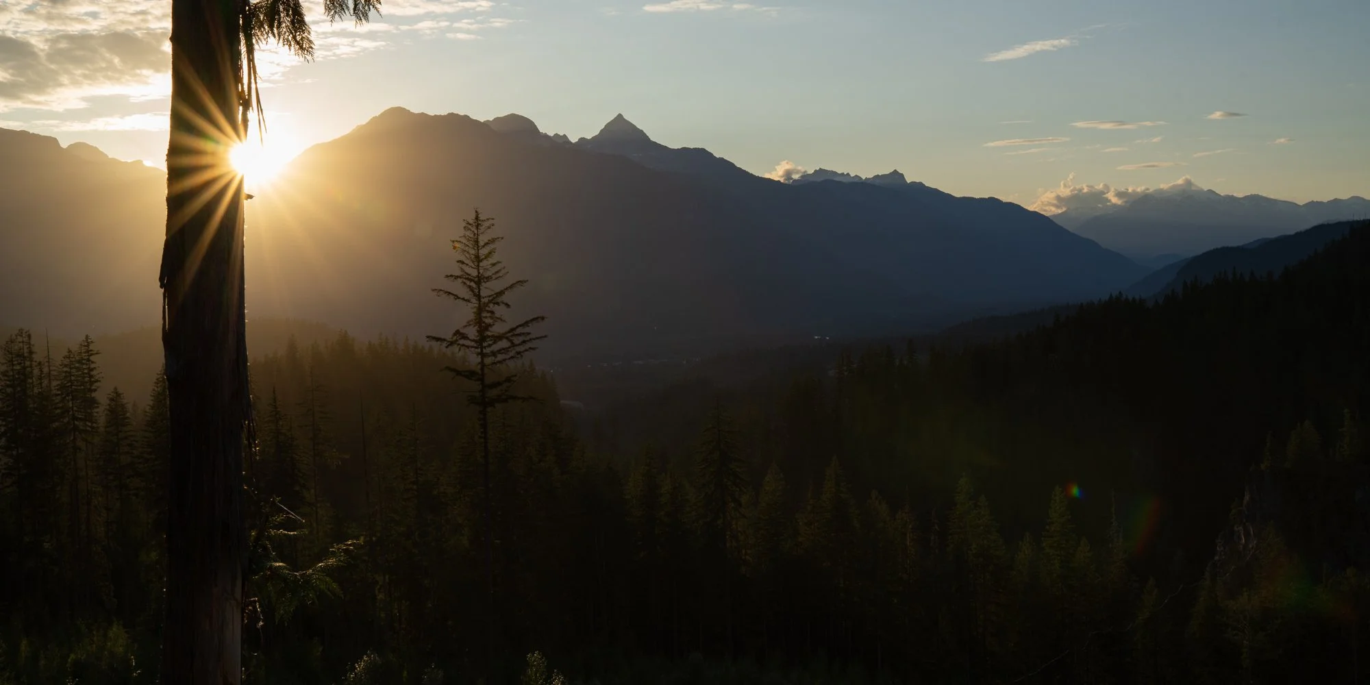
Final campsite overlooking the Squamish valley at sunset
Bella Coola was a fantastic place and I think we will go back again hopefully with a better chance to see some wildlife, although I could likely do another trip based entirely on landscape photography in that area as well. The whole trip made us eager to go further north in BC and up into the Yukon to get away once more. I’m sure Salwa is already making plans and researching a route, I’ll have my camera ready.
Winter trip - Final stage - ...and this little piggy went wee wee wee all the way home
Our winter trip took a bit of a turn to the east so that we could go to a boat show in Florida, after some fixes to the trailer in east Texas we made a bee line to Miami spent a week there and then quickly again started to head back west.
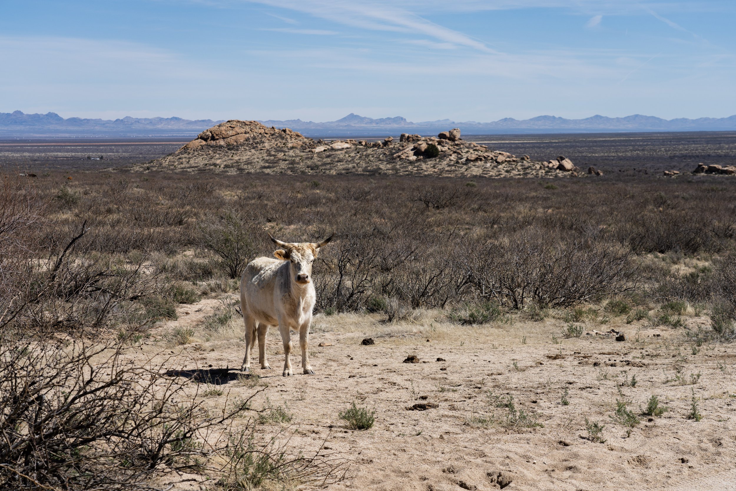
Silhouette of Salwa looking down from Indian Bread Rocks.
Ok, we went wee in many odd places along the way, not really the most interesting part of the story I hope.
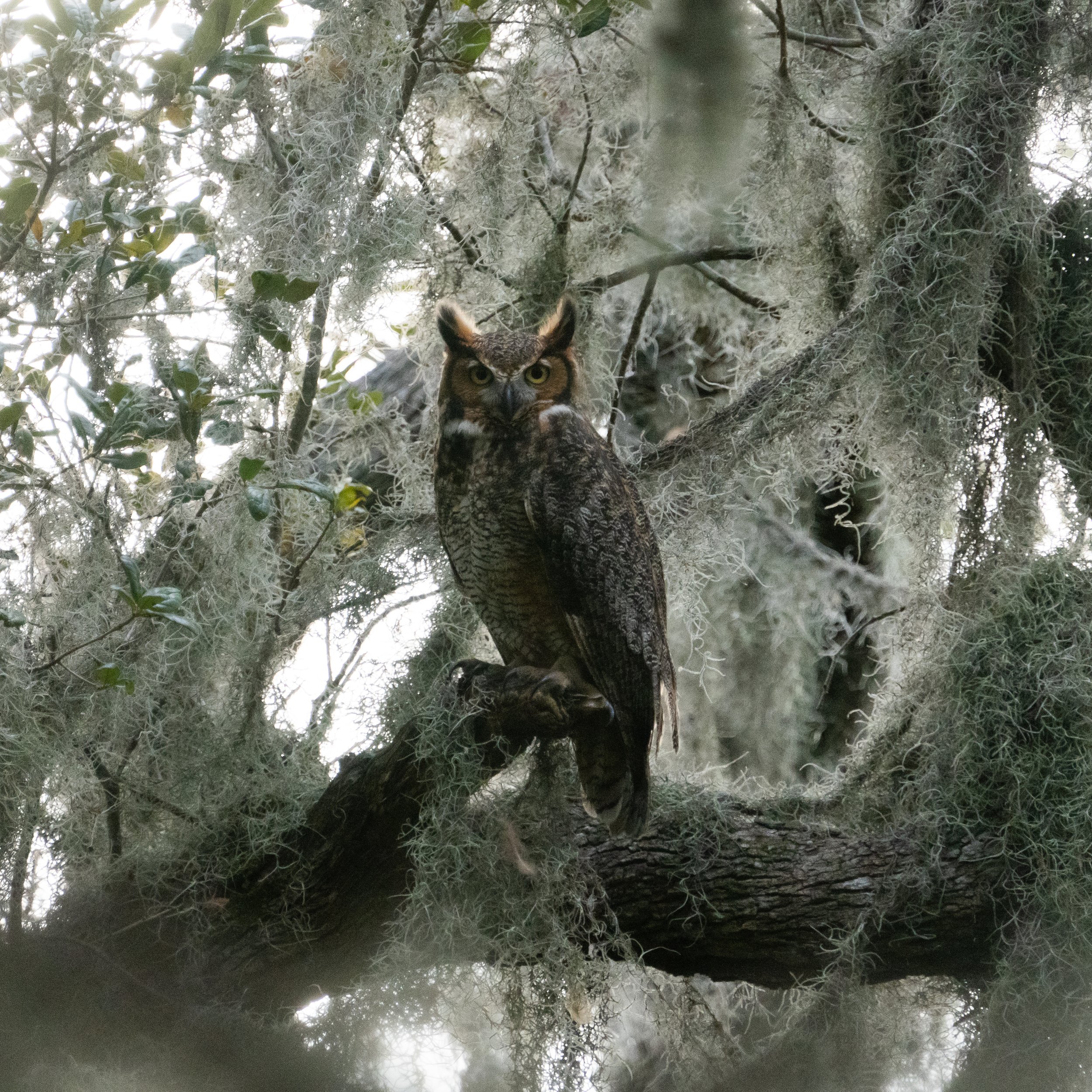
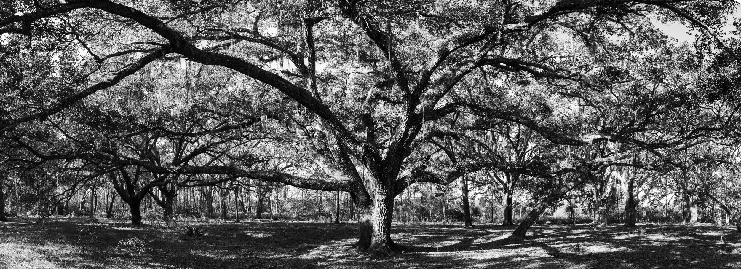
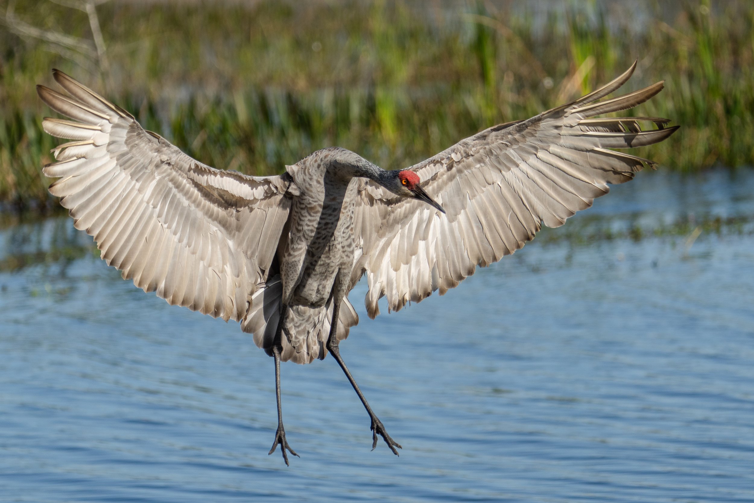
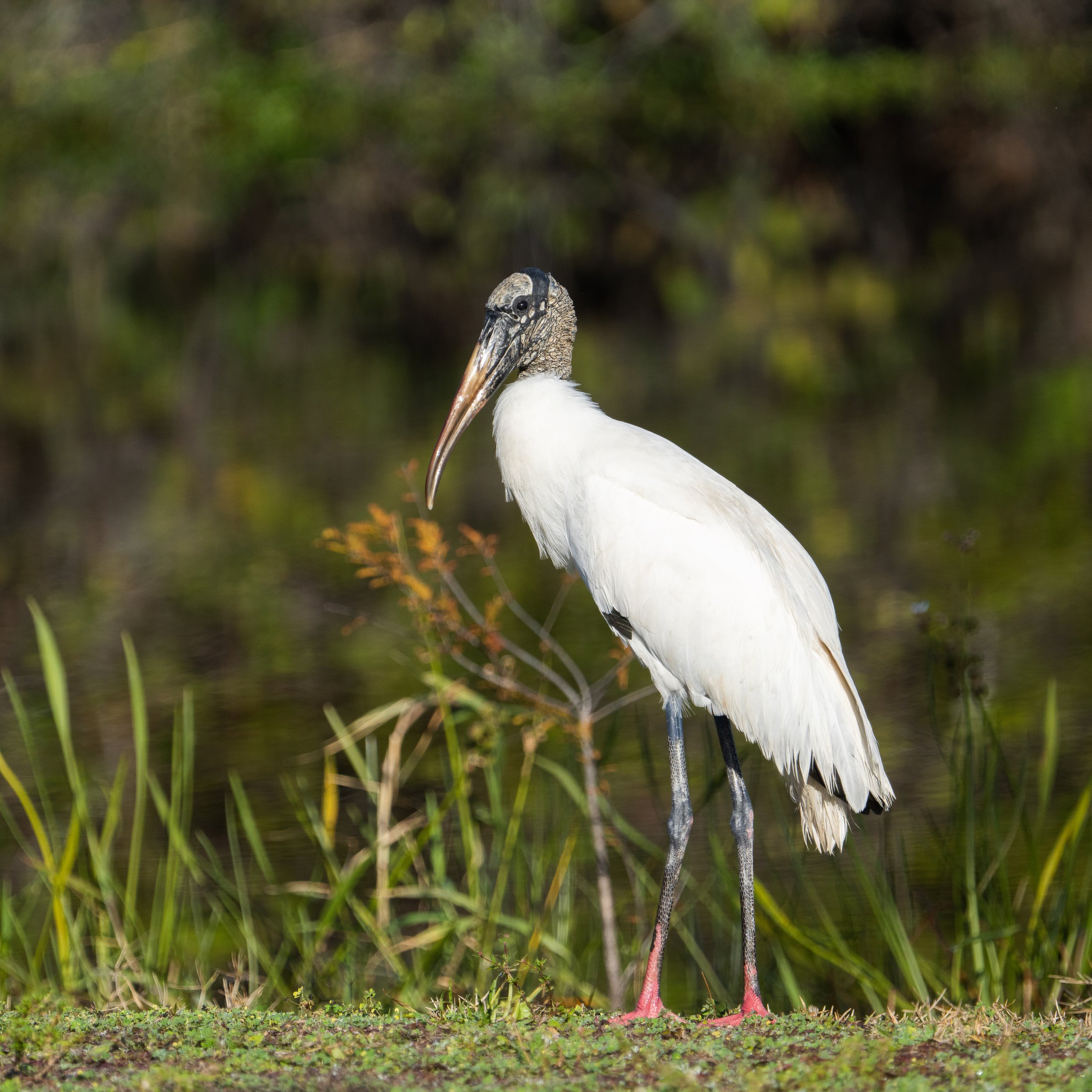
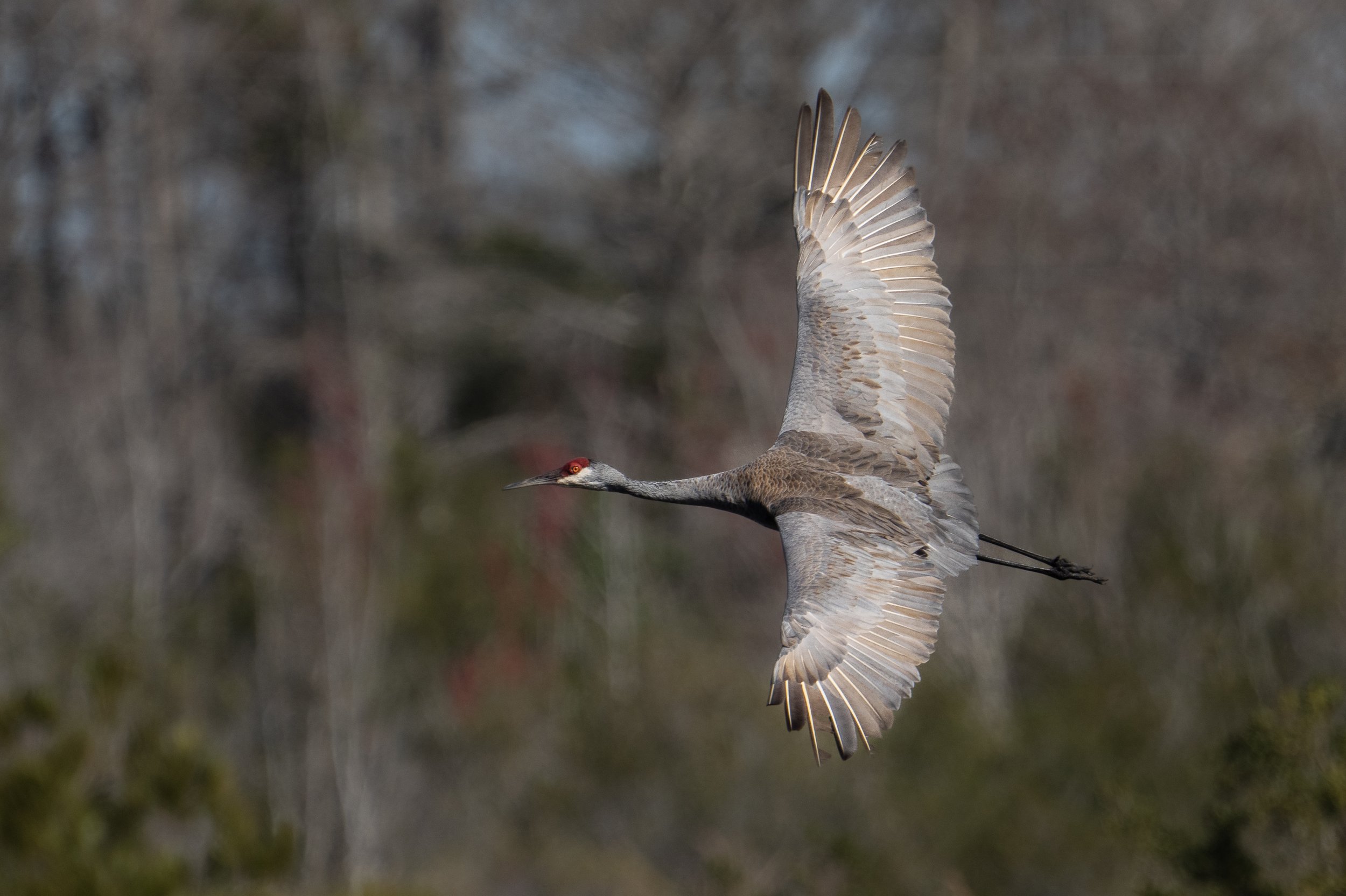
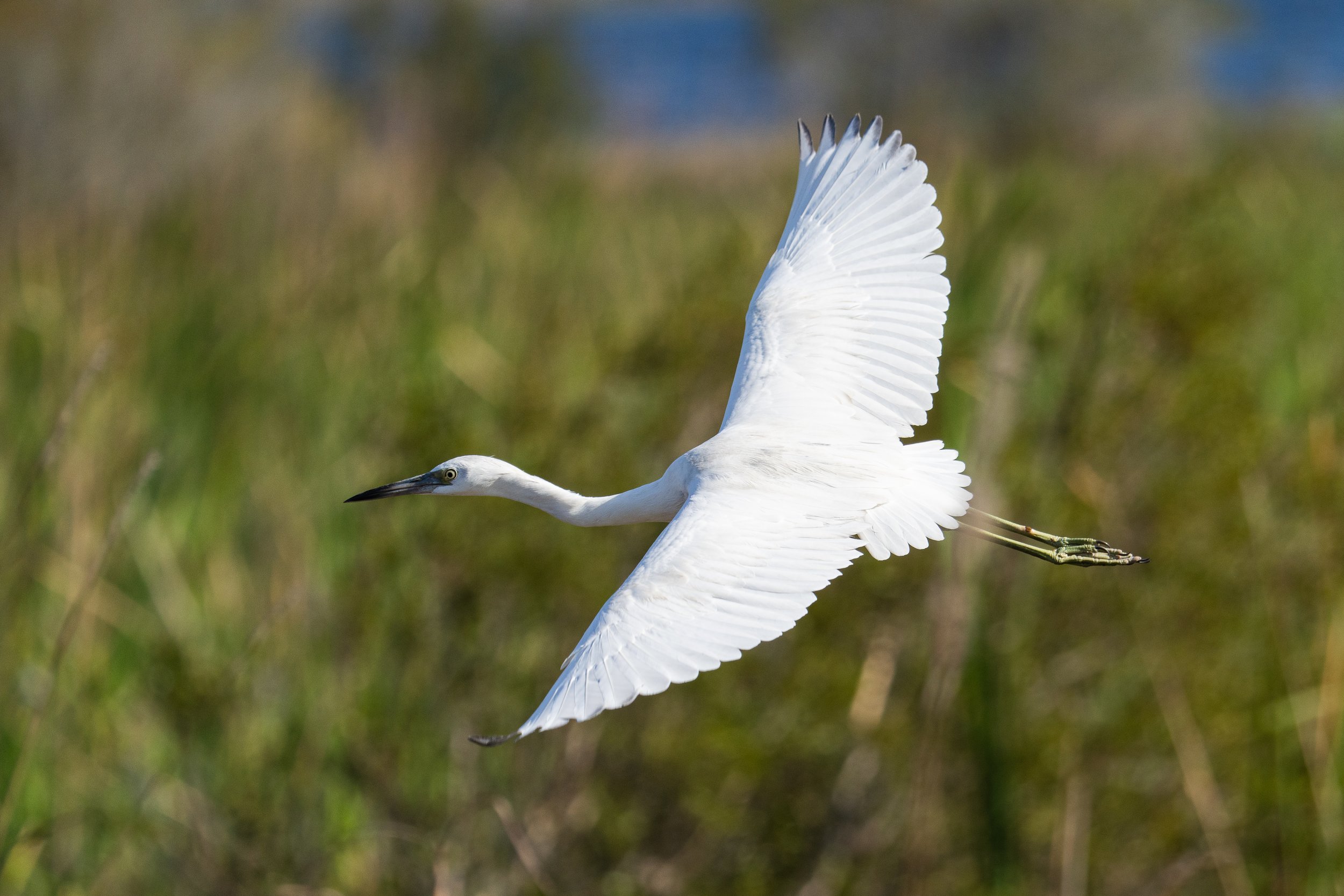
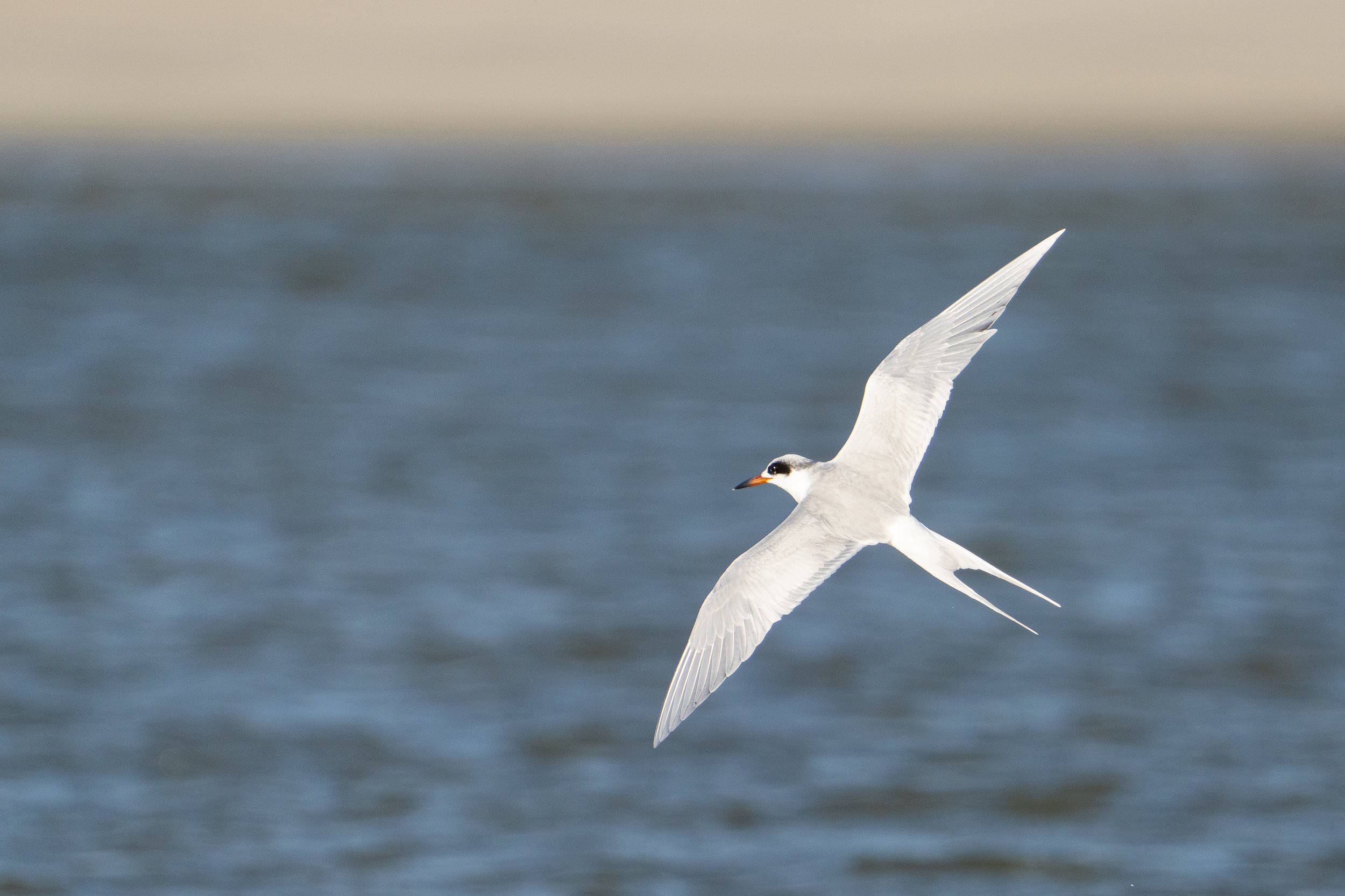
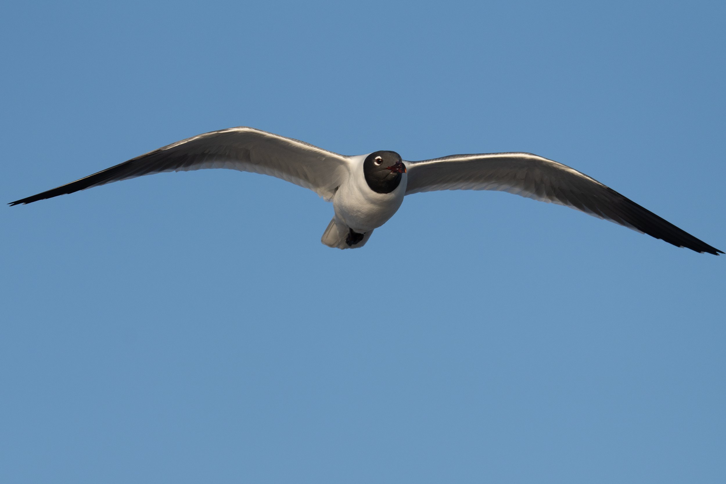
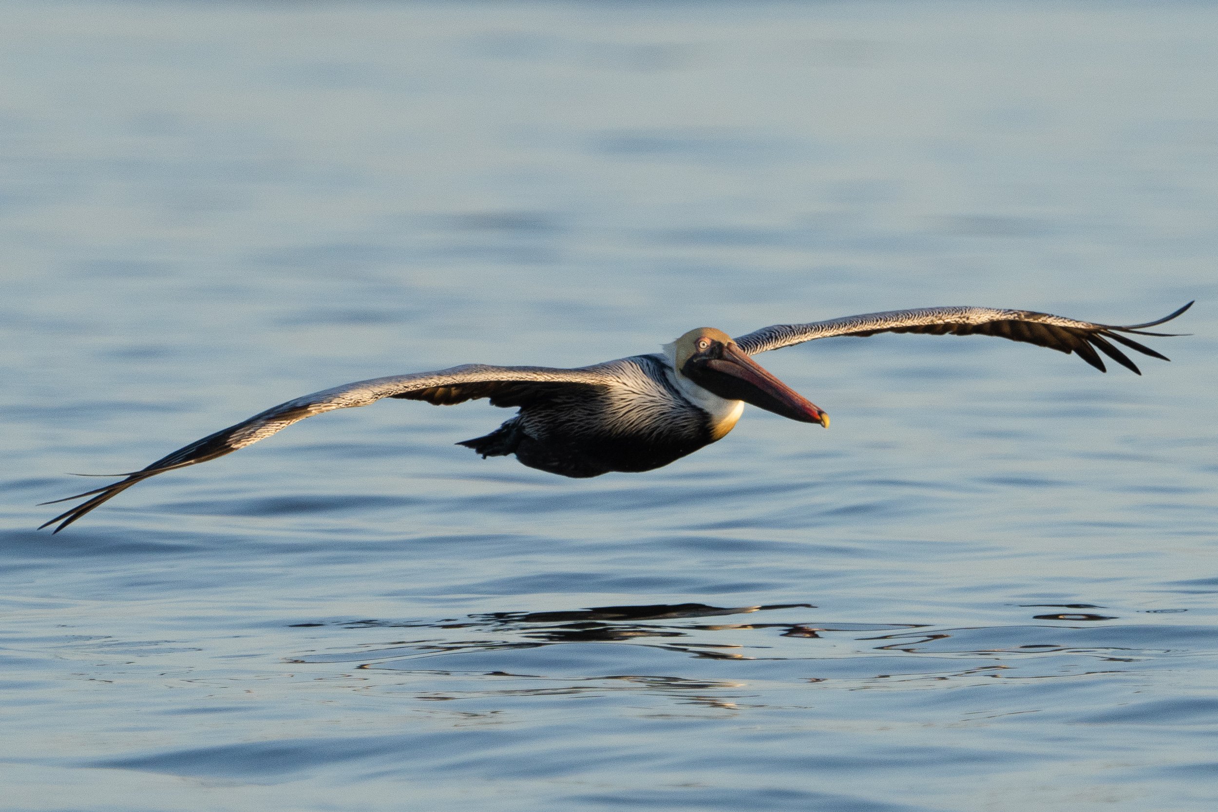
Our winter trip took a bit of a turn to the east so that we could go to a boat show in Florida, after some fixes to the trailer in east Texas we made a beeline to Miami spent a week there and then quickly again started to head back west. I did manage to get some birding in and a few other shots along the coast in South Carolina, you can see a few of them below.
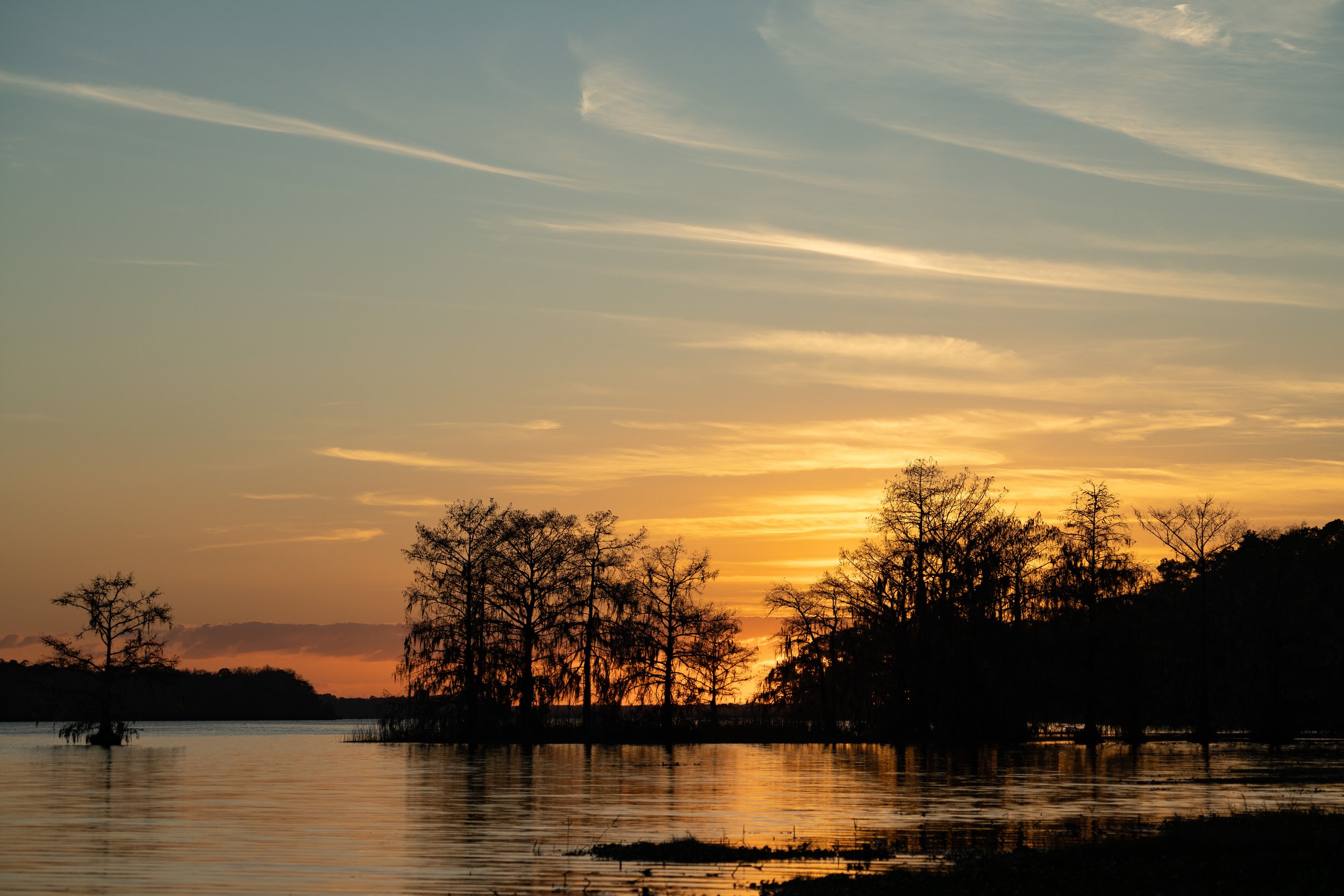
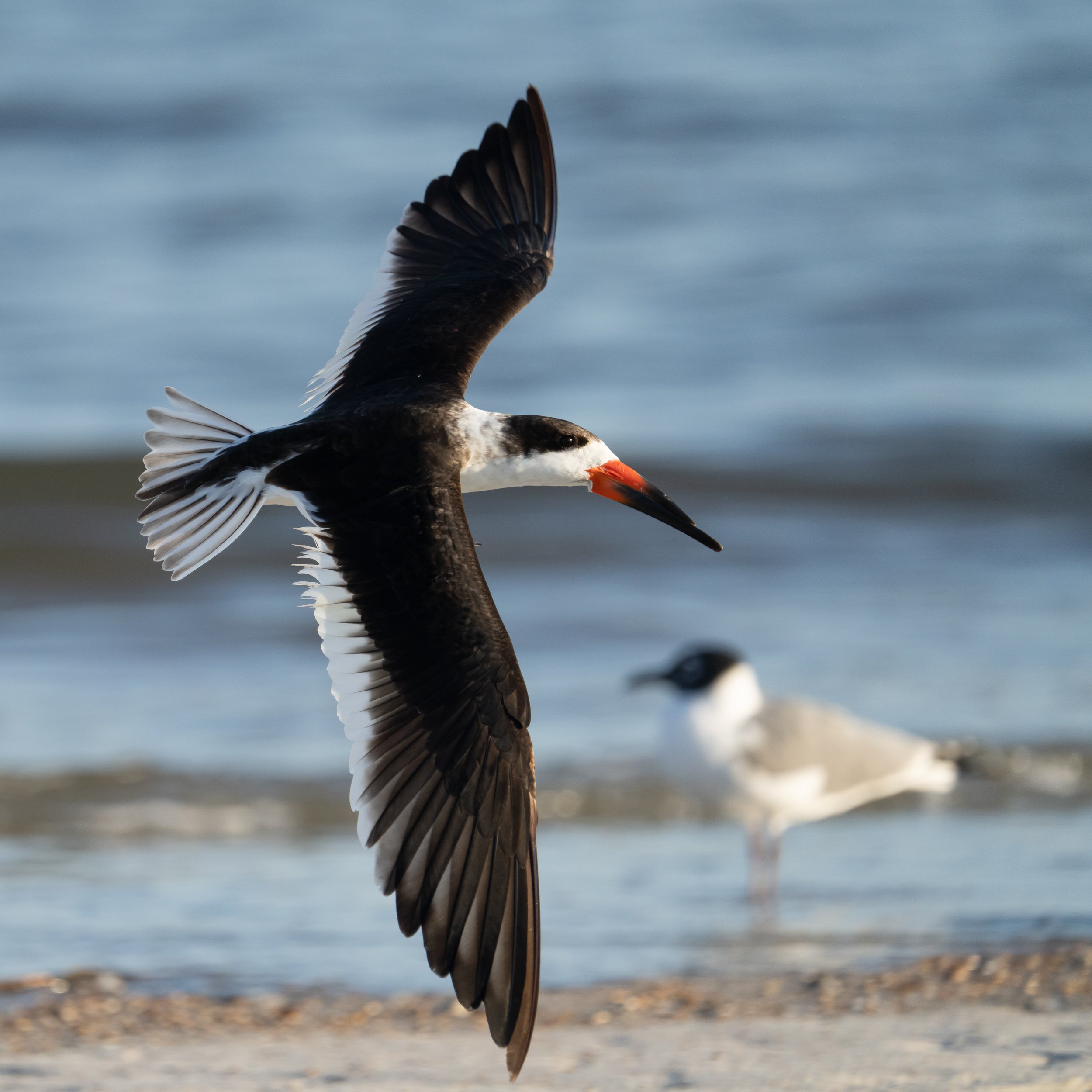
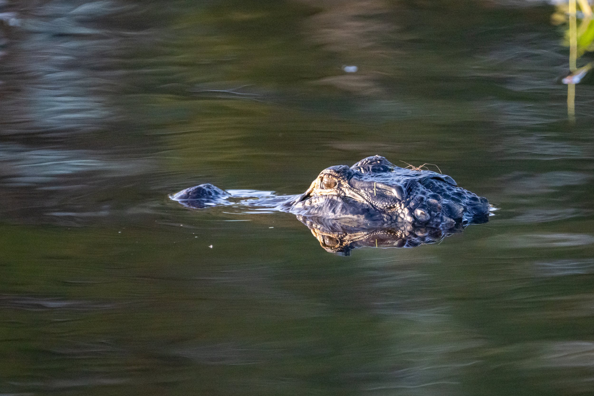
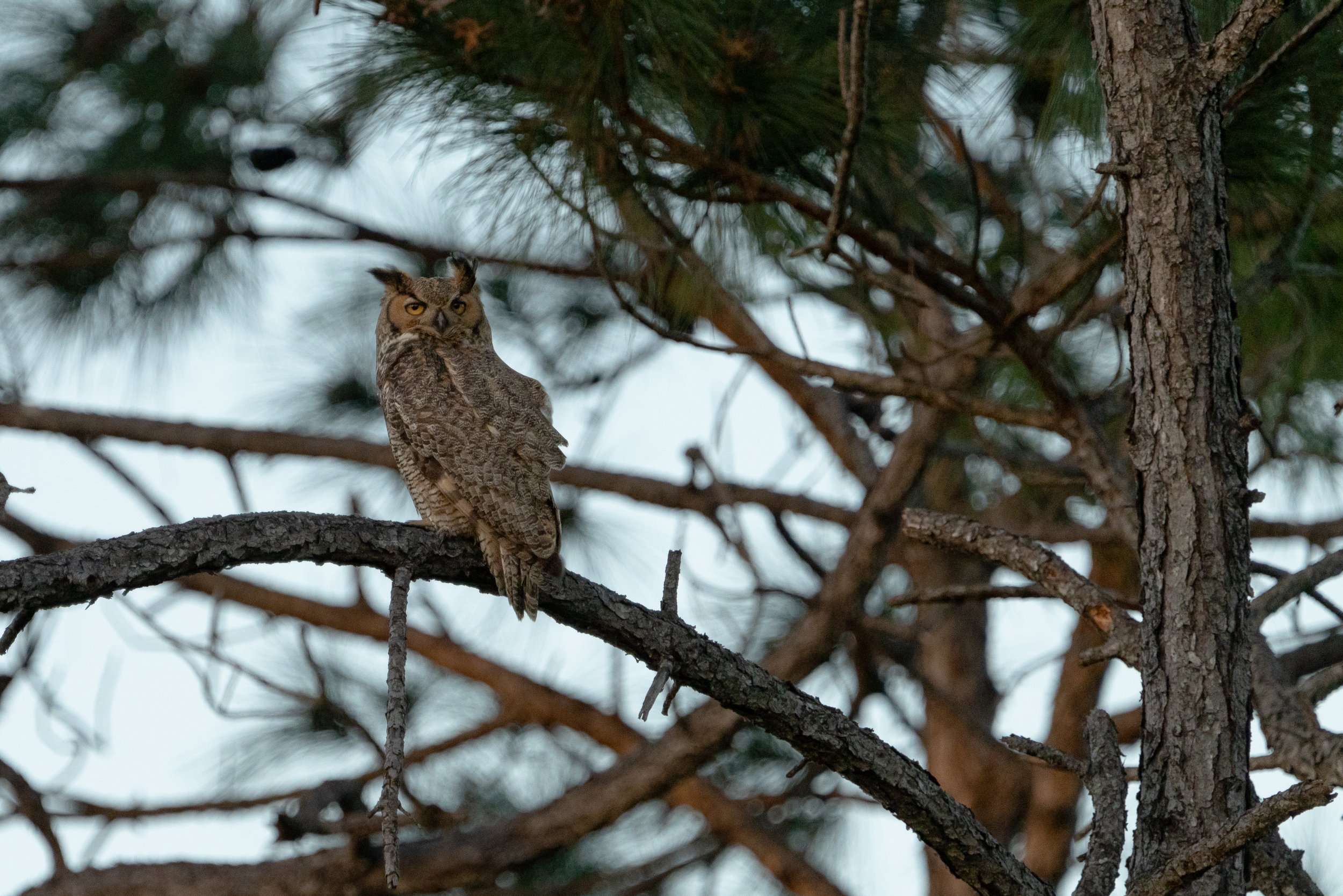
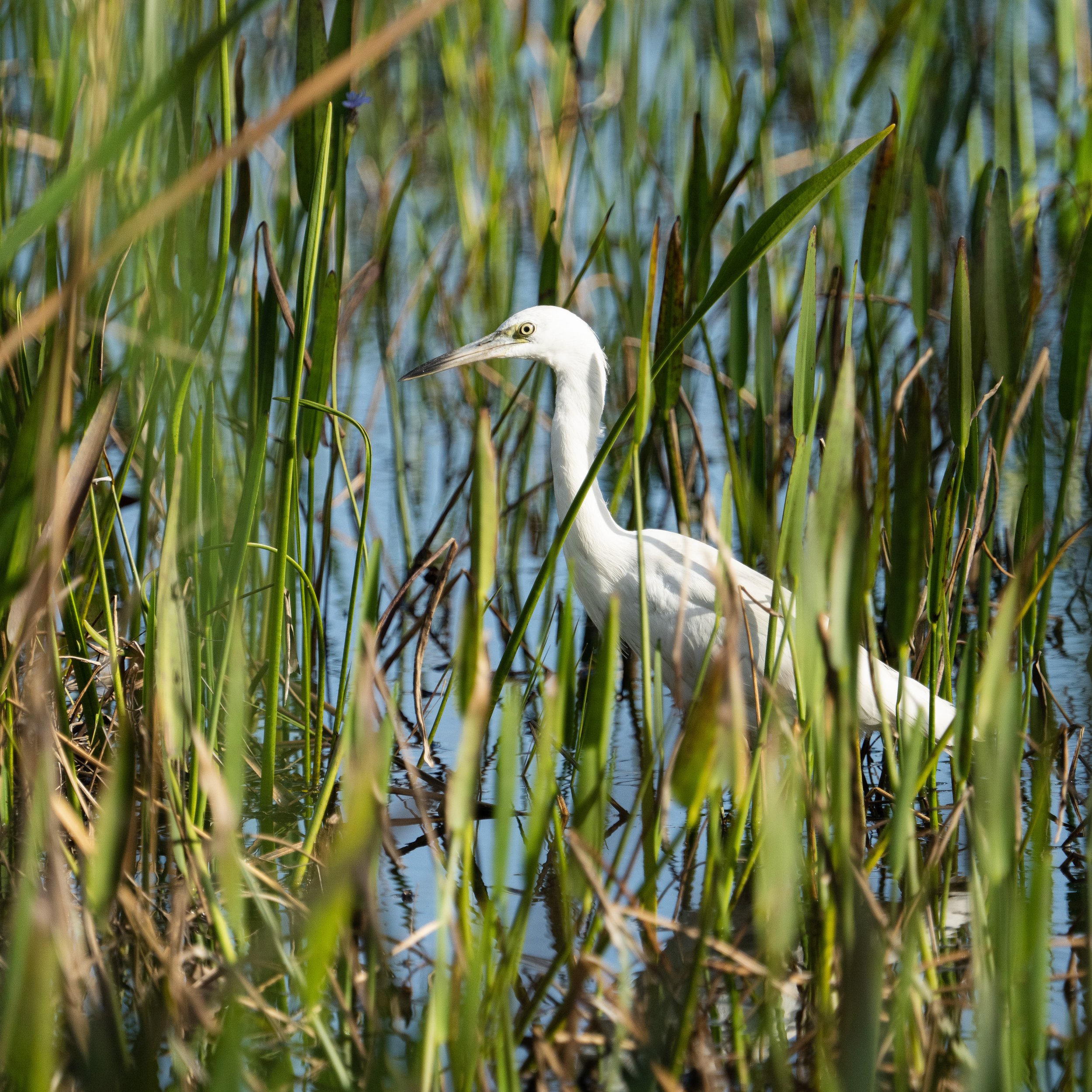
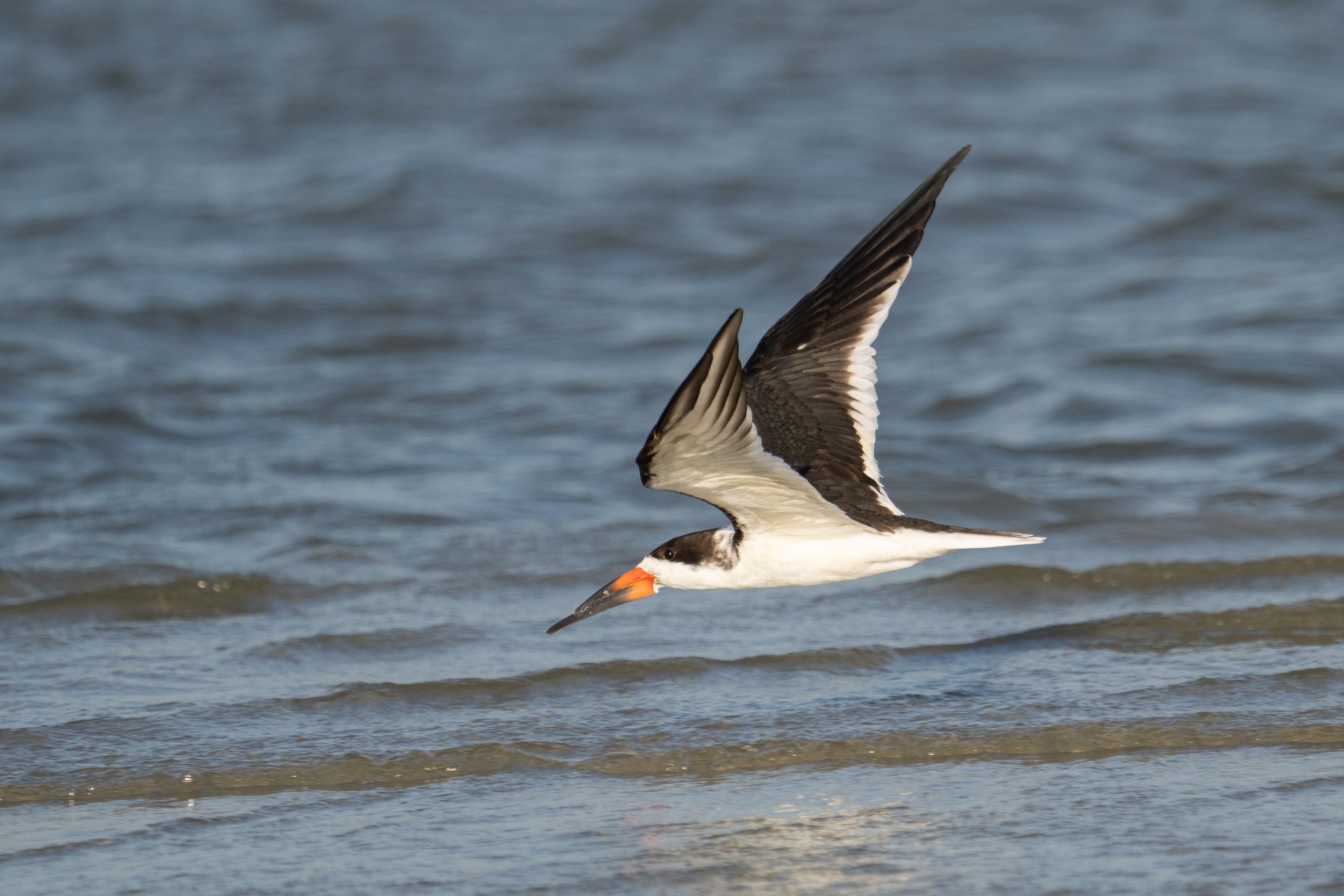
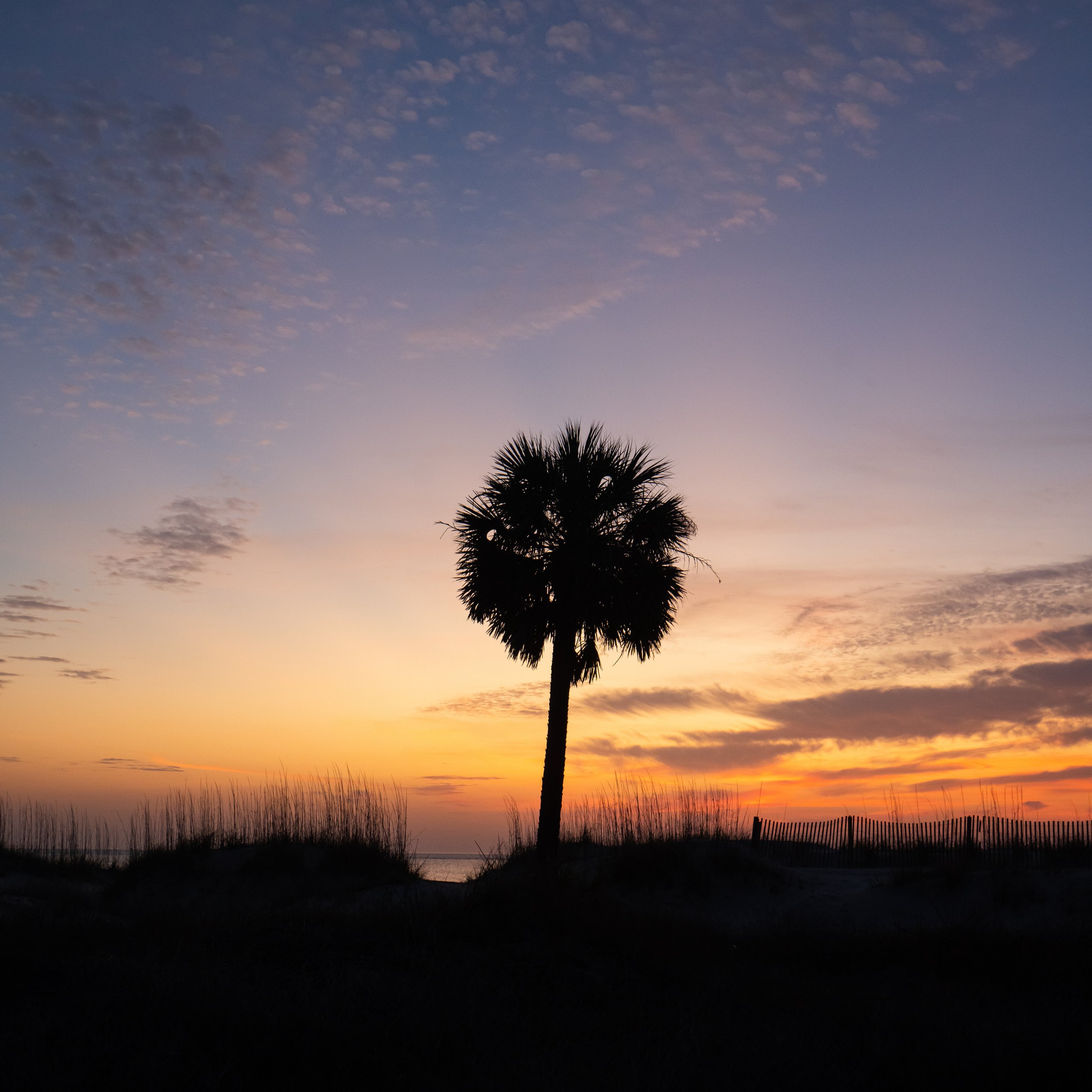
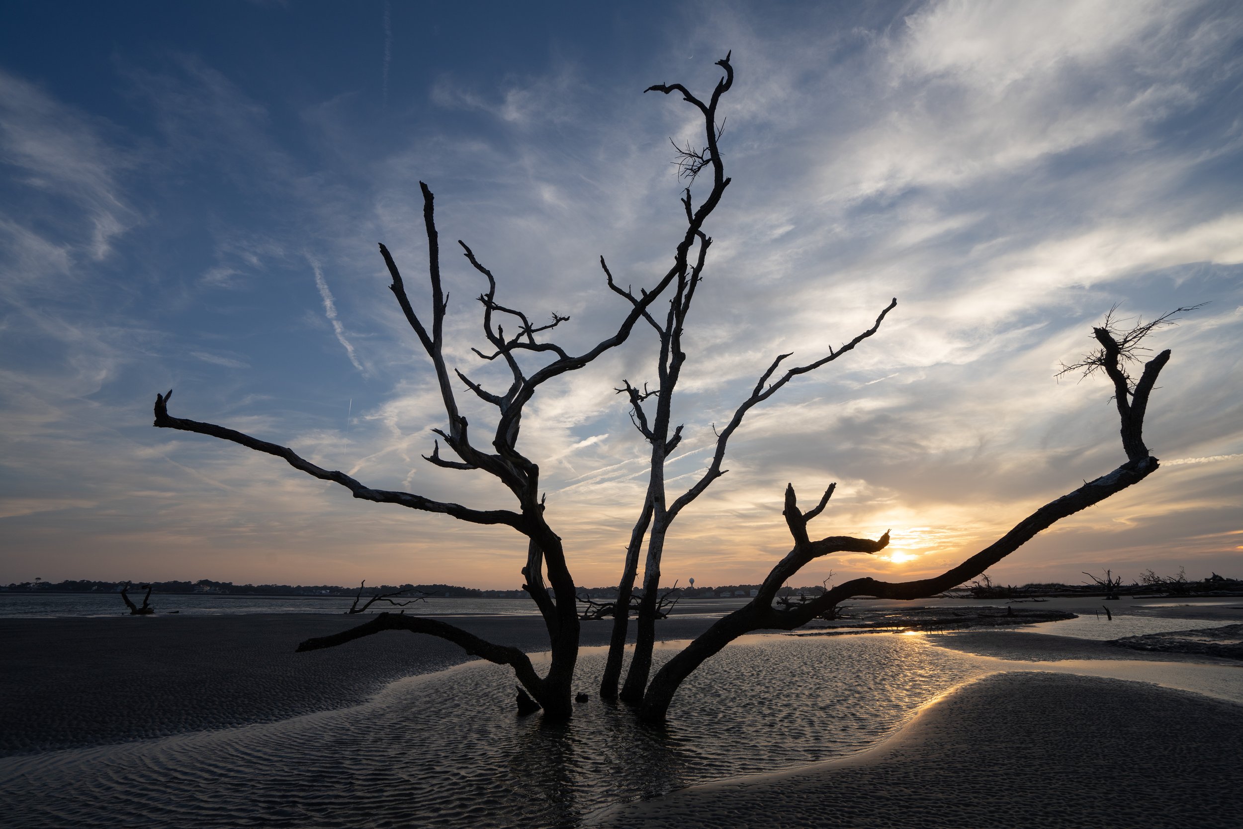
The trip back was pretty accelerated with a short stay in South Carolina to see old friends from when we lived in Greenville. We began to slow down again when we got back to the desert states and finally started to find BLM land to camp on. Not being always in State or National Parks was a treat in terms of finding locations where we were mostly on our own and had some unique and interesting landscapes.
The first of these was Indian Bread Rocks Rec Area in Arizona, a great stop a little south of Highway 10 near Bowie. This felt a lot like the recreation areas we have in British Columbia. Just a few camping spots well spread out, a pit toilet and plenty of space to wander about. Our spot was at the foot of a large rock formation with plenty of boulders all around us.

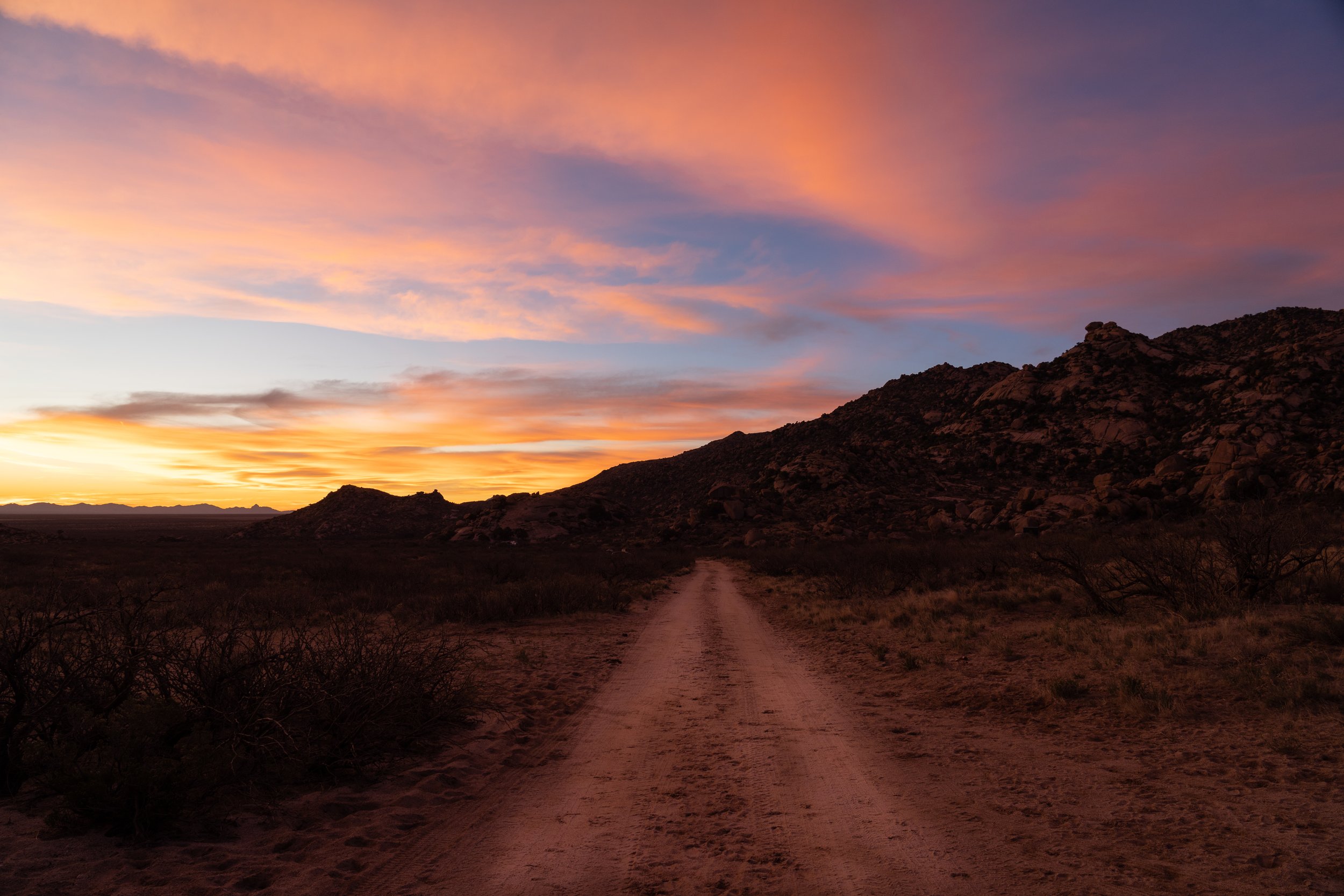
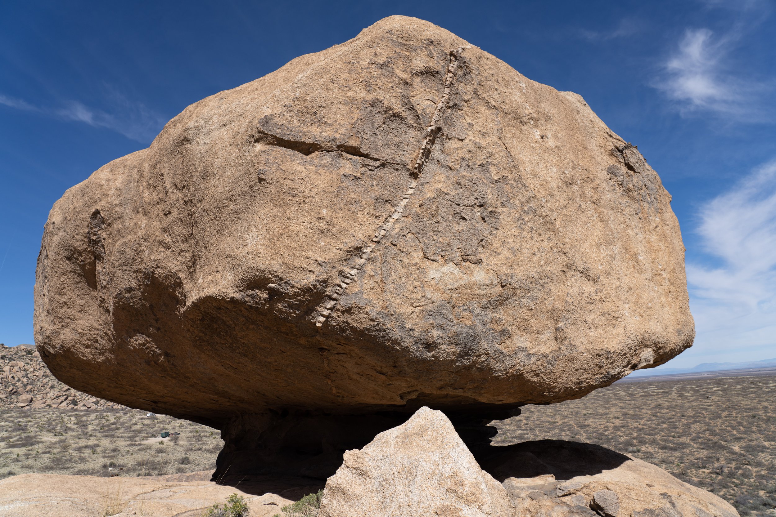
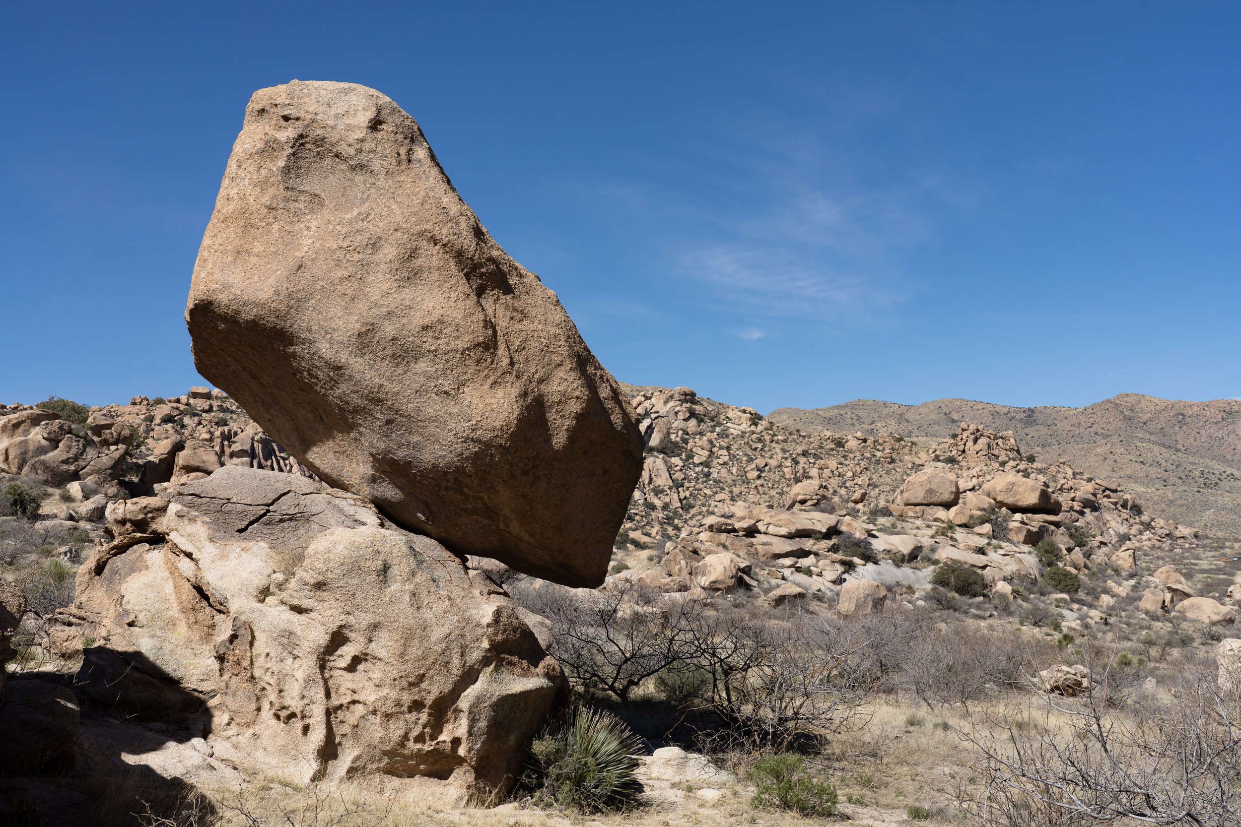
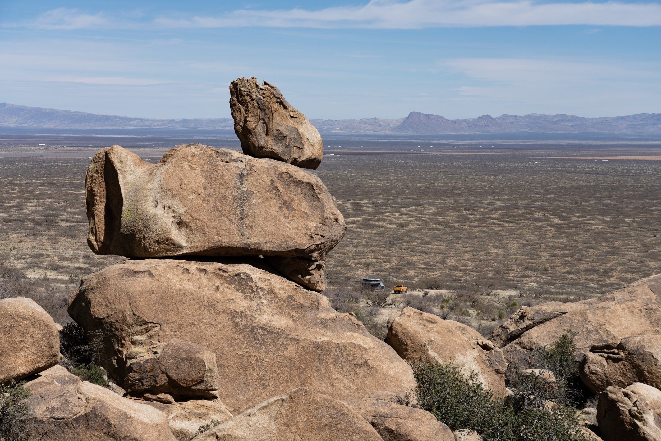
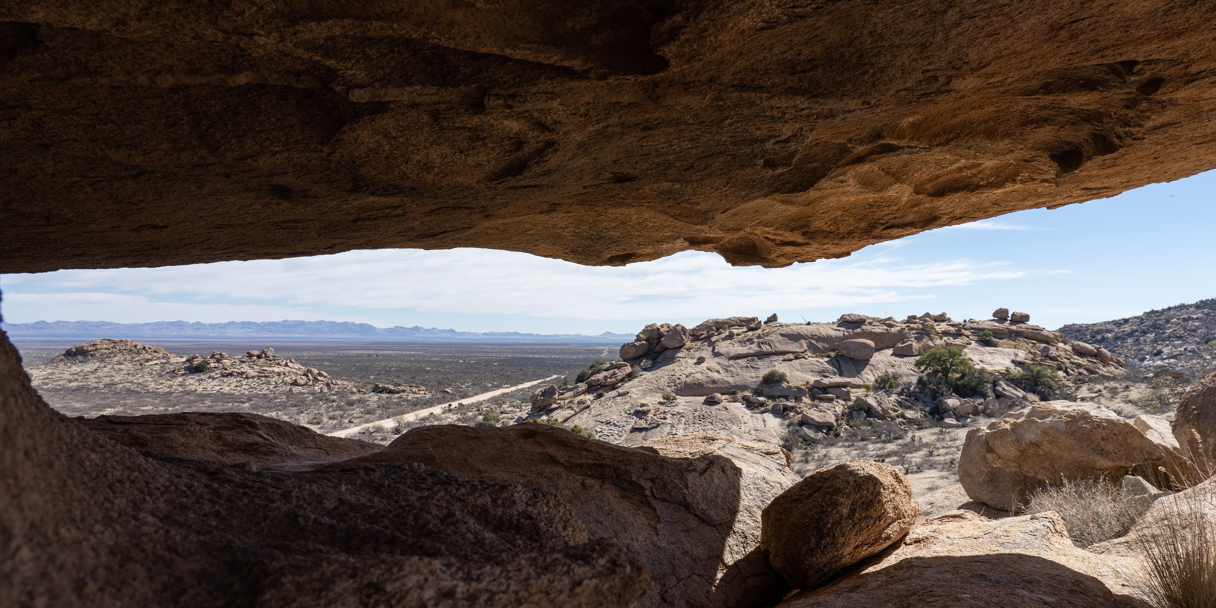
This area is also available for cows to graze so we did have to watch our step in case we stepped on a cow patty. After a couple of weeks of mostly driving and city life it was really relaxing to just enjoy our time around the trailer, hiking into the rocks and waiting for the right light for a few interesting shots.
Next stop was near a pretty fantastic birding location called Madera Canyon. Although there is camping in the park, just before you get to the park there is some BLM land with some beautiful campsites. These ones don’t have toilets but it is a relatively short drive/long walk to the park entrance which did have facilities.
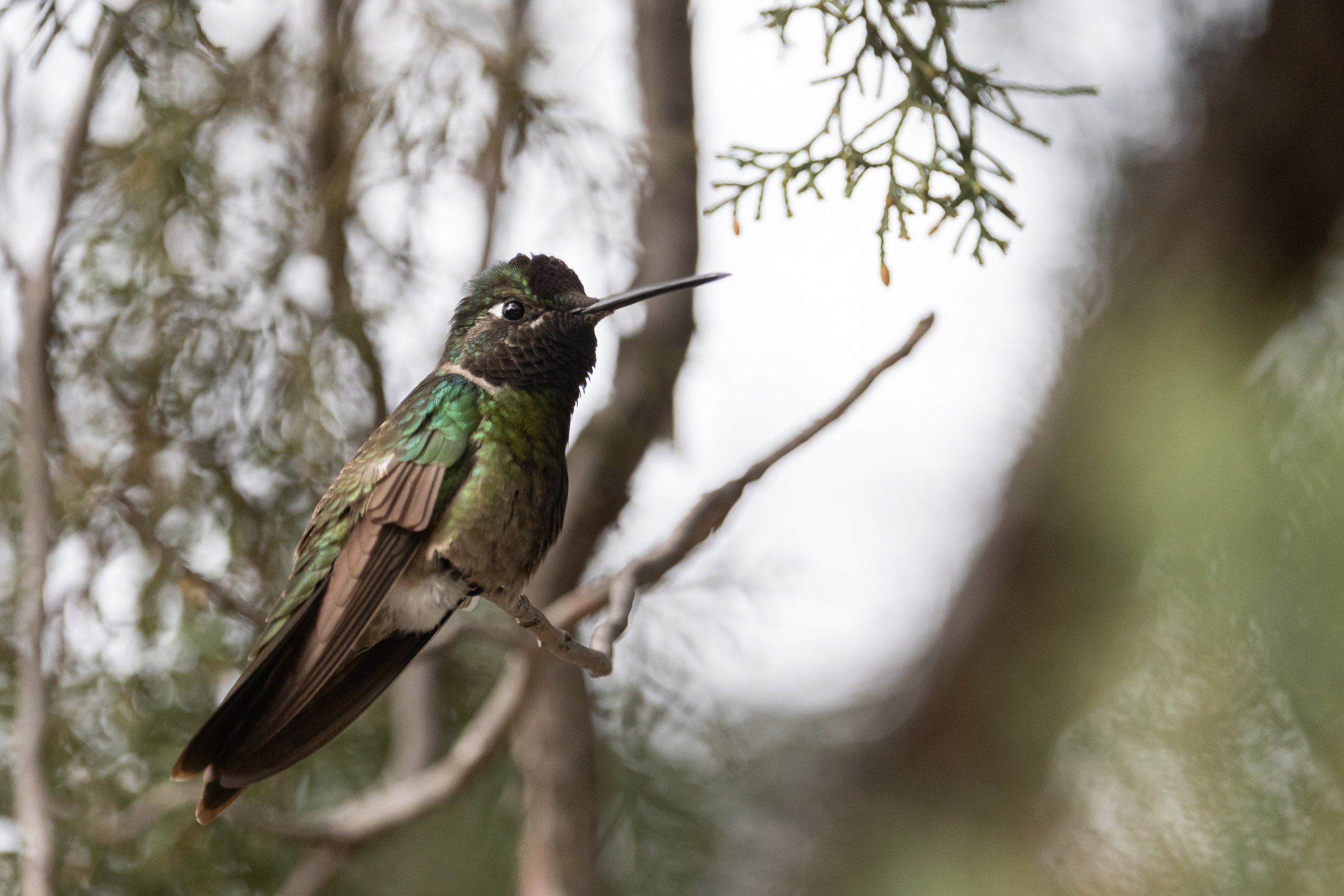
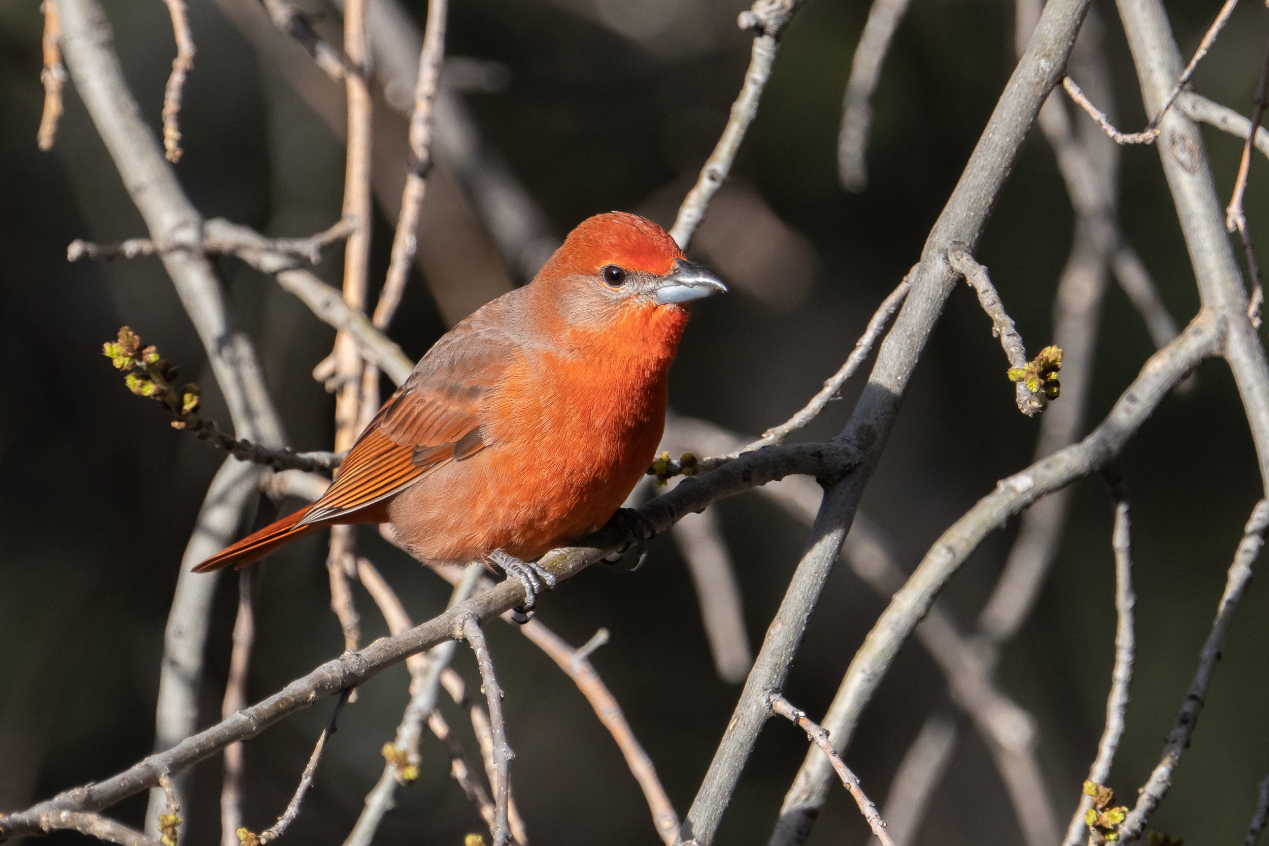
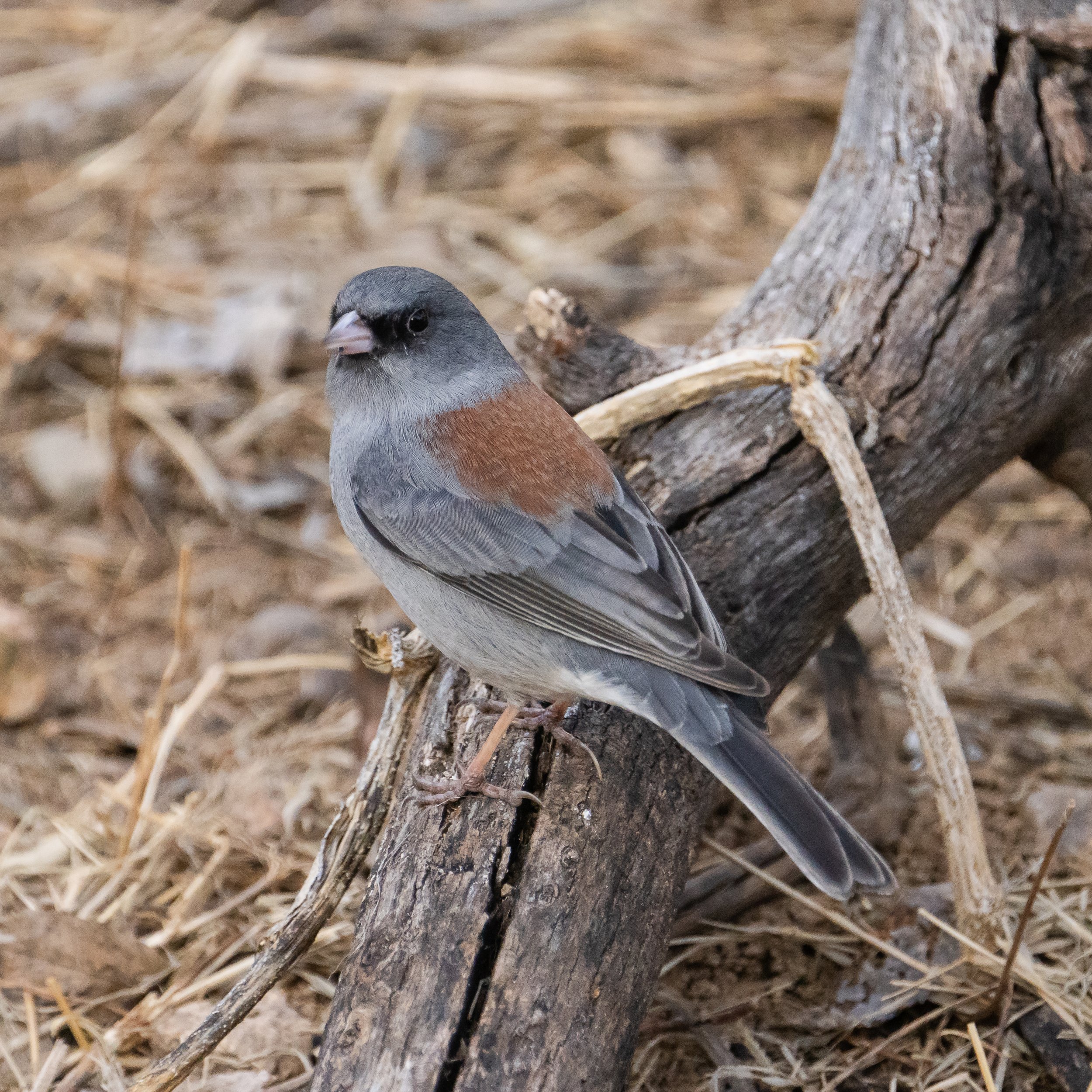
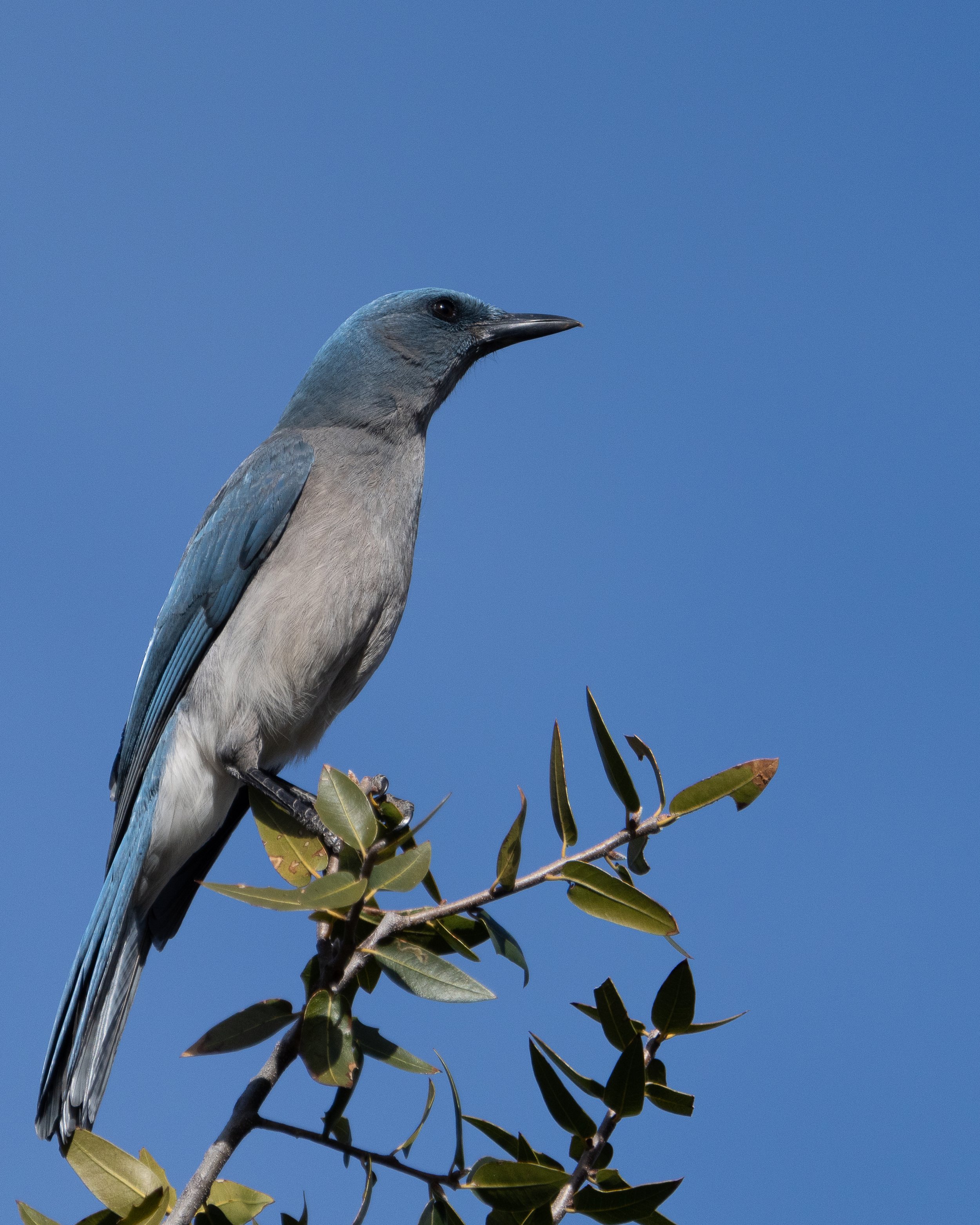
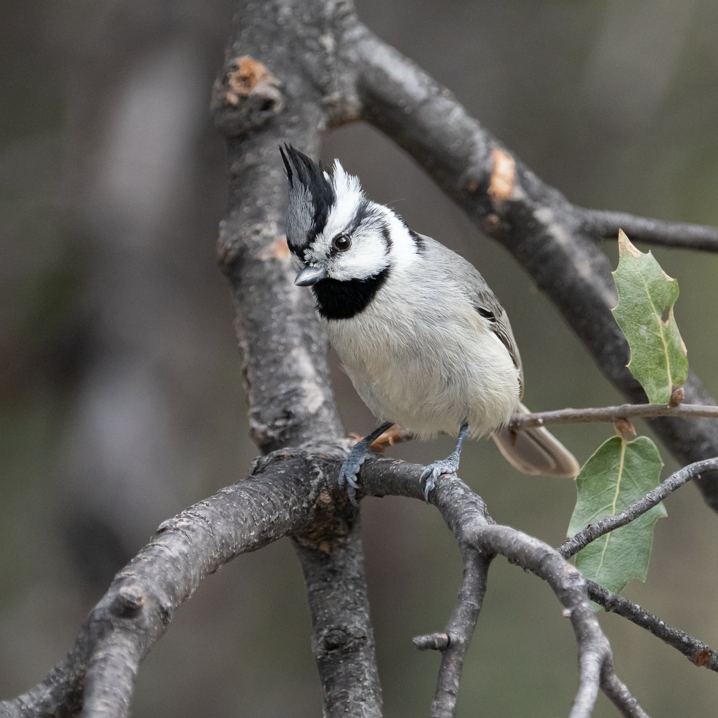
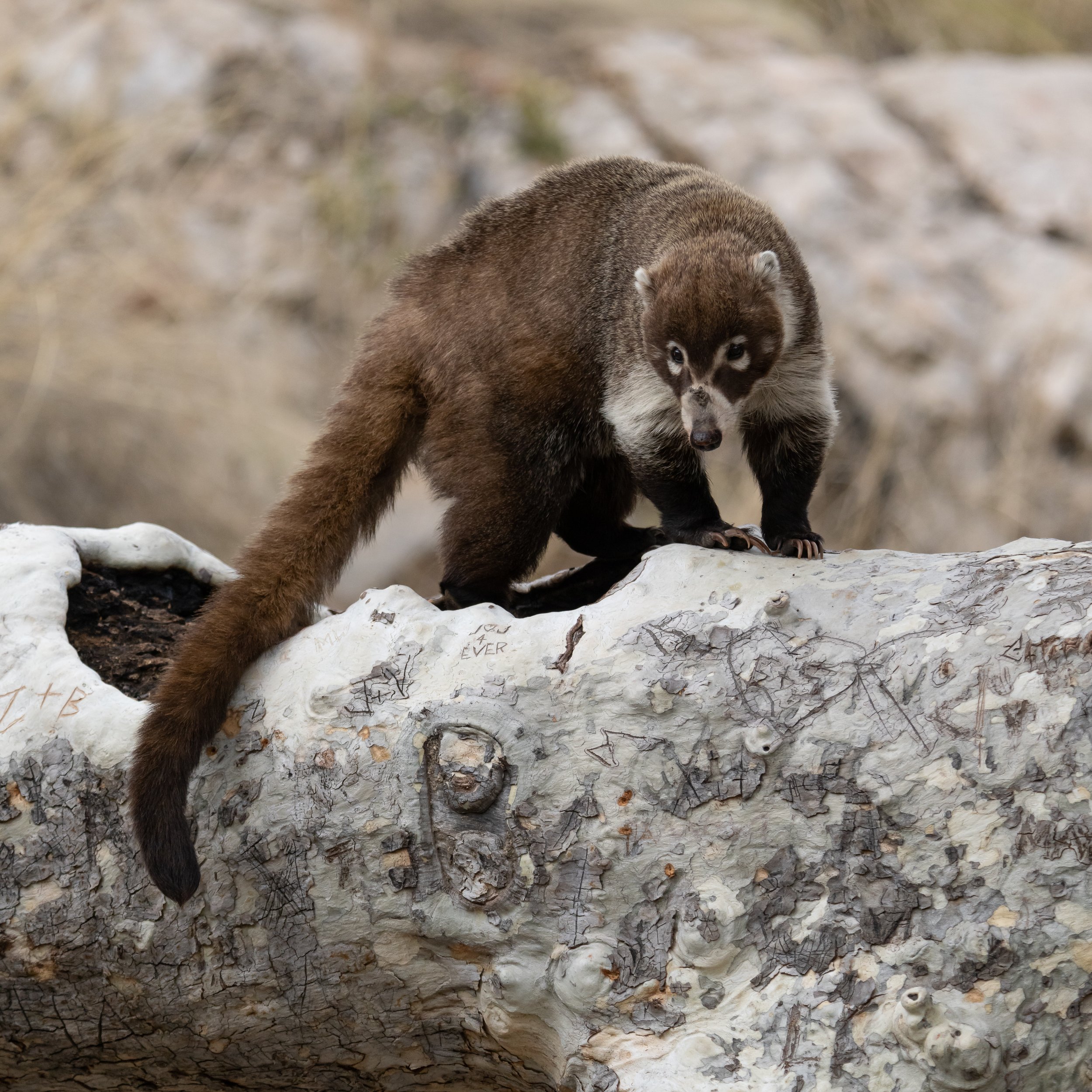
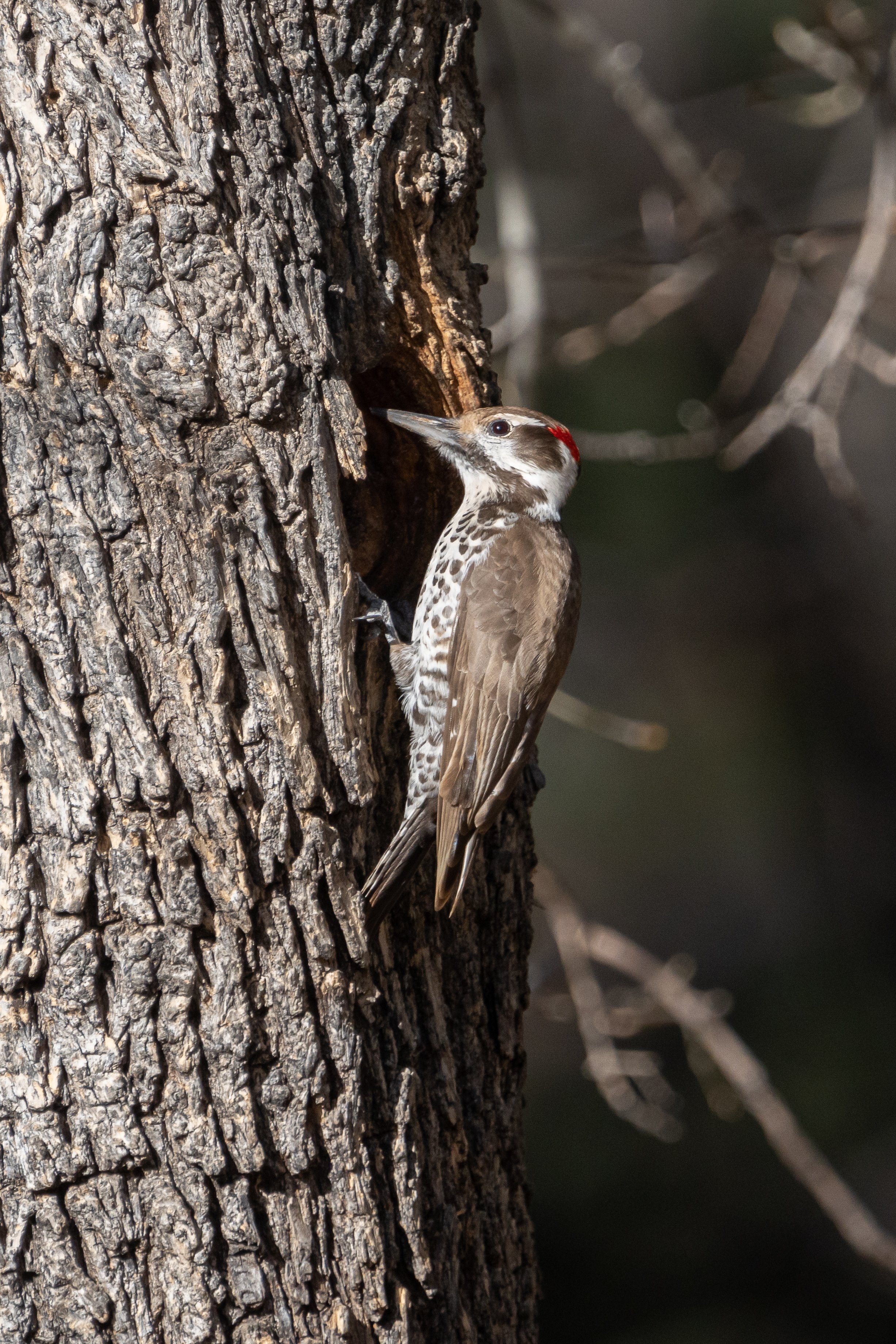
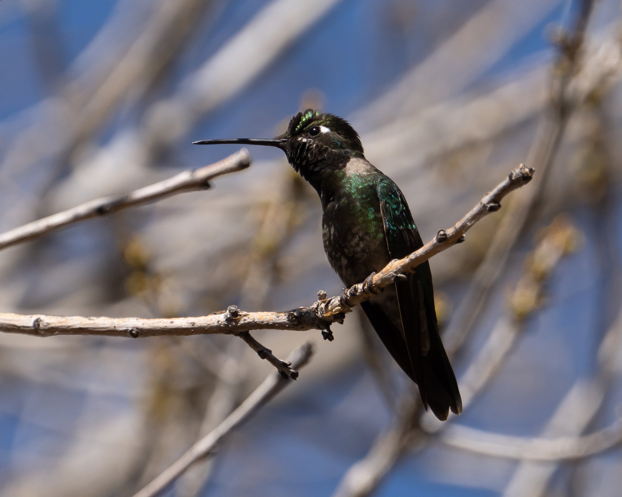
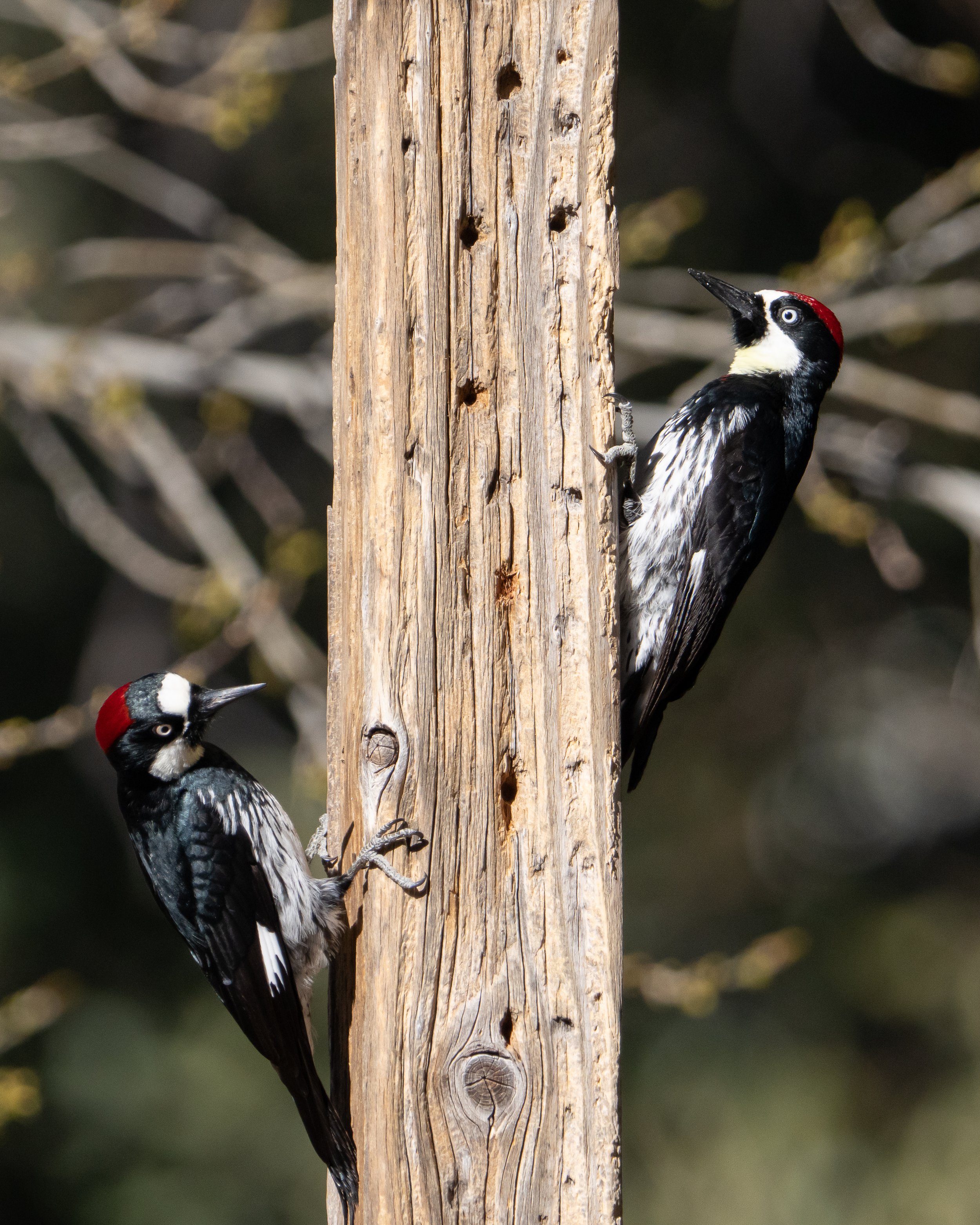
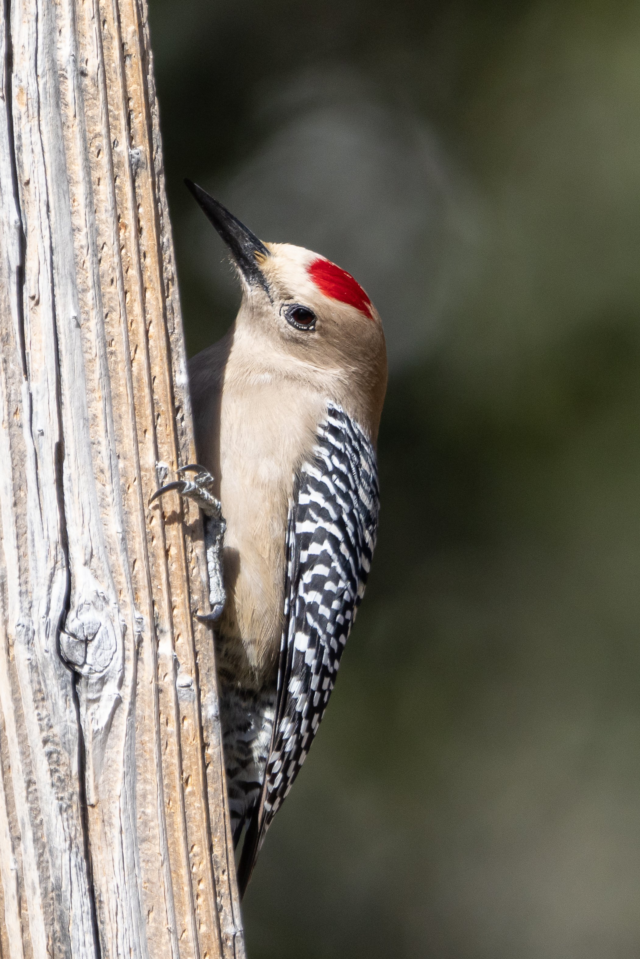
Much like the last spot, the free part of the camping was nice but not really the reason we liked BLM camping. It was the ability again to be mostly on our own, in this case there were a couple of others camping but not close enough to really even notice most of the time, ok, except for the one that let their dog free and it decided to chase after some cows nearby. That was a bit annoying!
This was the first time in a while that I plunked myself down at a set of bird feeders in the park to just get to see a few birds that I have never seen before and to grab a few shots. This was quite relaxing, and there was even a coffee shop and nice seats to make this a fun afternoon of not really in nature-nature photography.
We didn’t stay long in Arizona this time around, moving on to Southern California and a highlight of the trip for me. There are only a few types of owls in North America that I haven’t been able to get shots in the wild, and the burrowing owl has been one that I haven’t been lucky enough to find before in the south west or in Florida…and I have made specific day trips just to see them multiple times, all of which were unsuccessful. So, driving down a farm road on our way to a bird sanctuary and just seeing them on the side of the road was amazing. Not sure what people driving by thought of me laying on the side of the road with a big lens shooting into the gutter but it was really a fantastic time for me. The fact that I managed to get some portfolio shots from that location is a big bonus. This was definitely a highlight for the area as we were at the wrong time of year to see much else around the Sonny Bono Salton Sea Wildlife refuge.

Burrowing Owl in flight along a farm road in California.
Moving on back to the coast for that long wet trip back north and the fun task of finding a new place to live when we got there, we headed for Morro Bay, some good sushi and a little time with sea otters and their young. Could have stayed and watched them all day and we pretty much did.
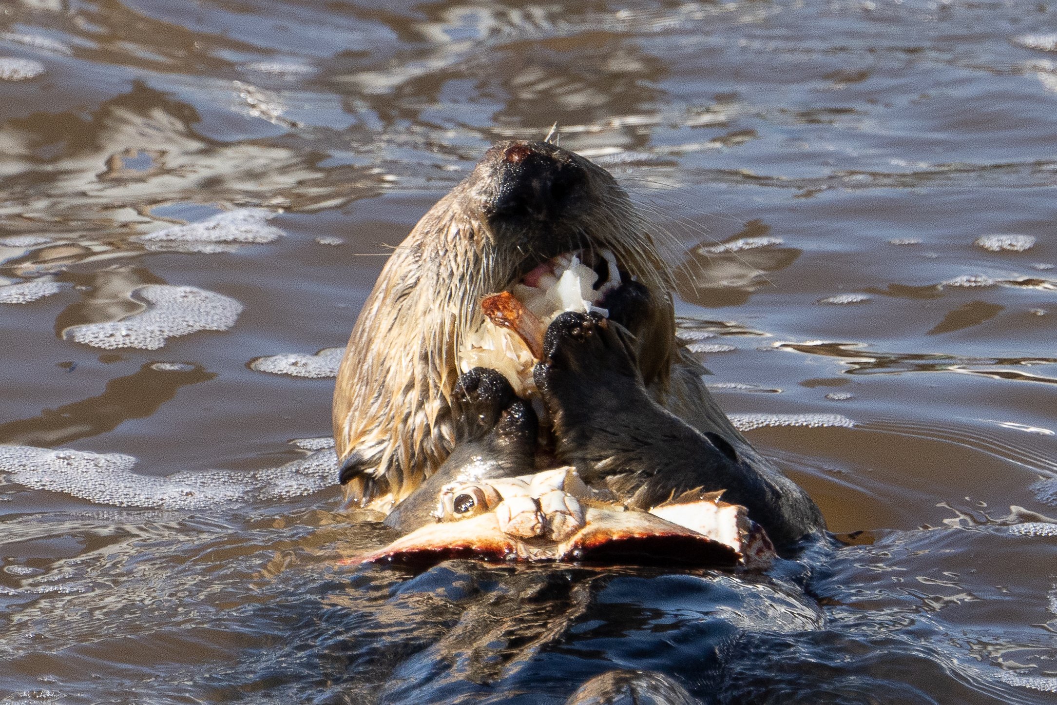
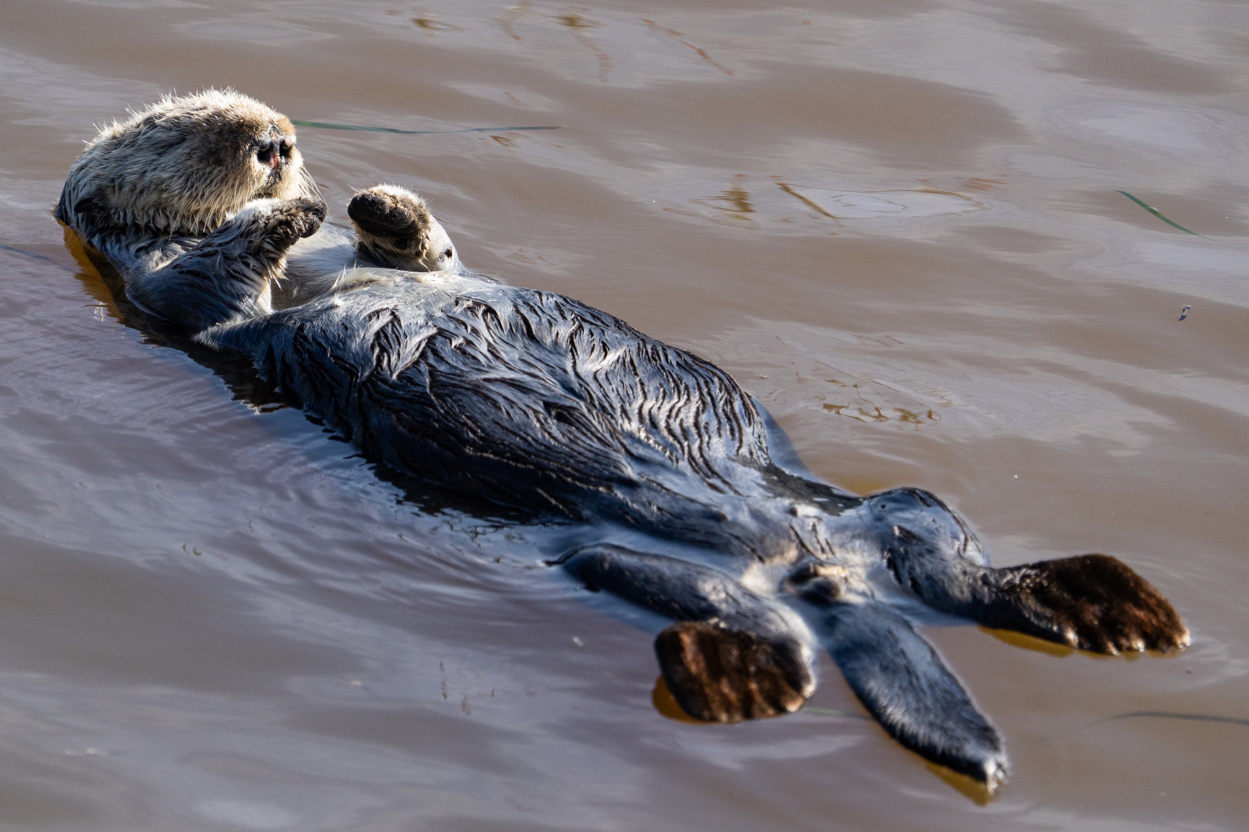
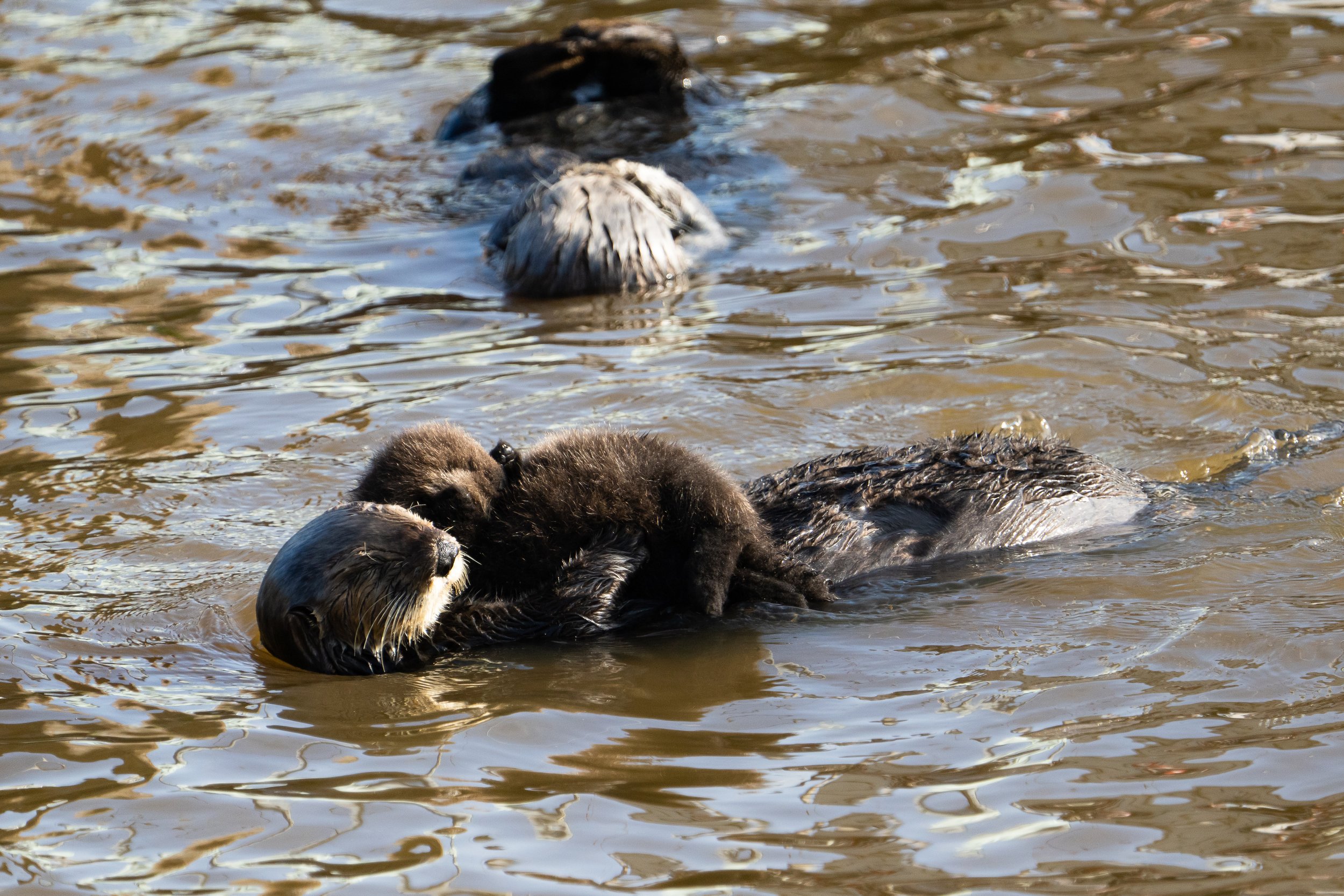
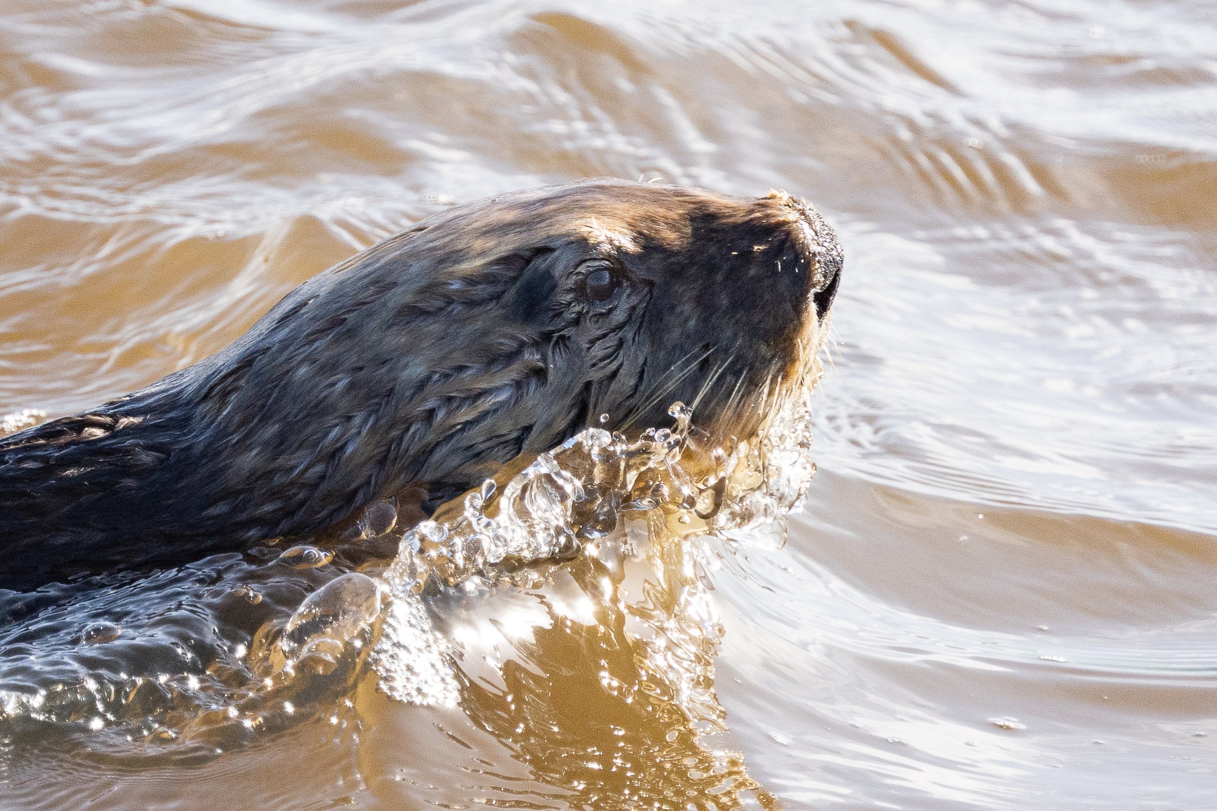
There was an area around the docks in town where about 20 or so otters congregated, a bunch of them had babies that stayed on their bellies and pretty much just looked cute. If you want to be able to see sea otters up close this is definitely the town to do so. That was mostly it for California this time, other than a stop at Elk Meadow in Redwood National Park to see….well elk of course, and some redwoods.

A little practice sparring for these bull elk.
We didn’t have much time left before I had to start a new contract and go back to work like as a normal person, so we started up the coast staying just a day or two in any given location. We were back to either State Parks or city campgrounds along the coast which at least had running water and hookups so although we were no longer alone in the wild we were pretty comfortable even in the rain.
We did manage to spend a bit more time on the beautiful Oregon coast, this time in and around Coos Bay where the coastline is absolutely breathtaking. This is a location we will need to come back to for the fall storms and King tides so that we can get some of those epic wave shots.
For now, the seascapes and rock formations will do quite nicely.
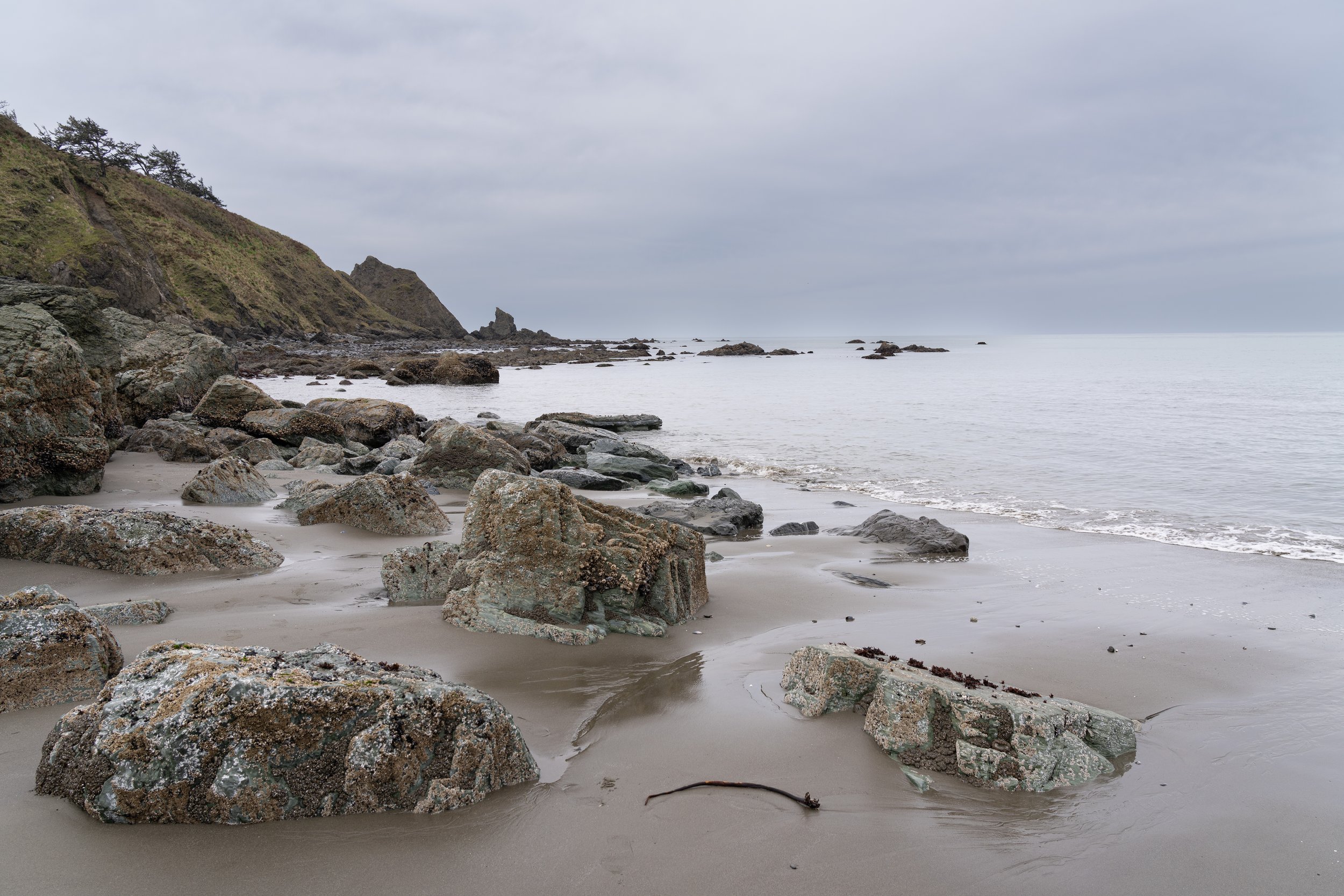
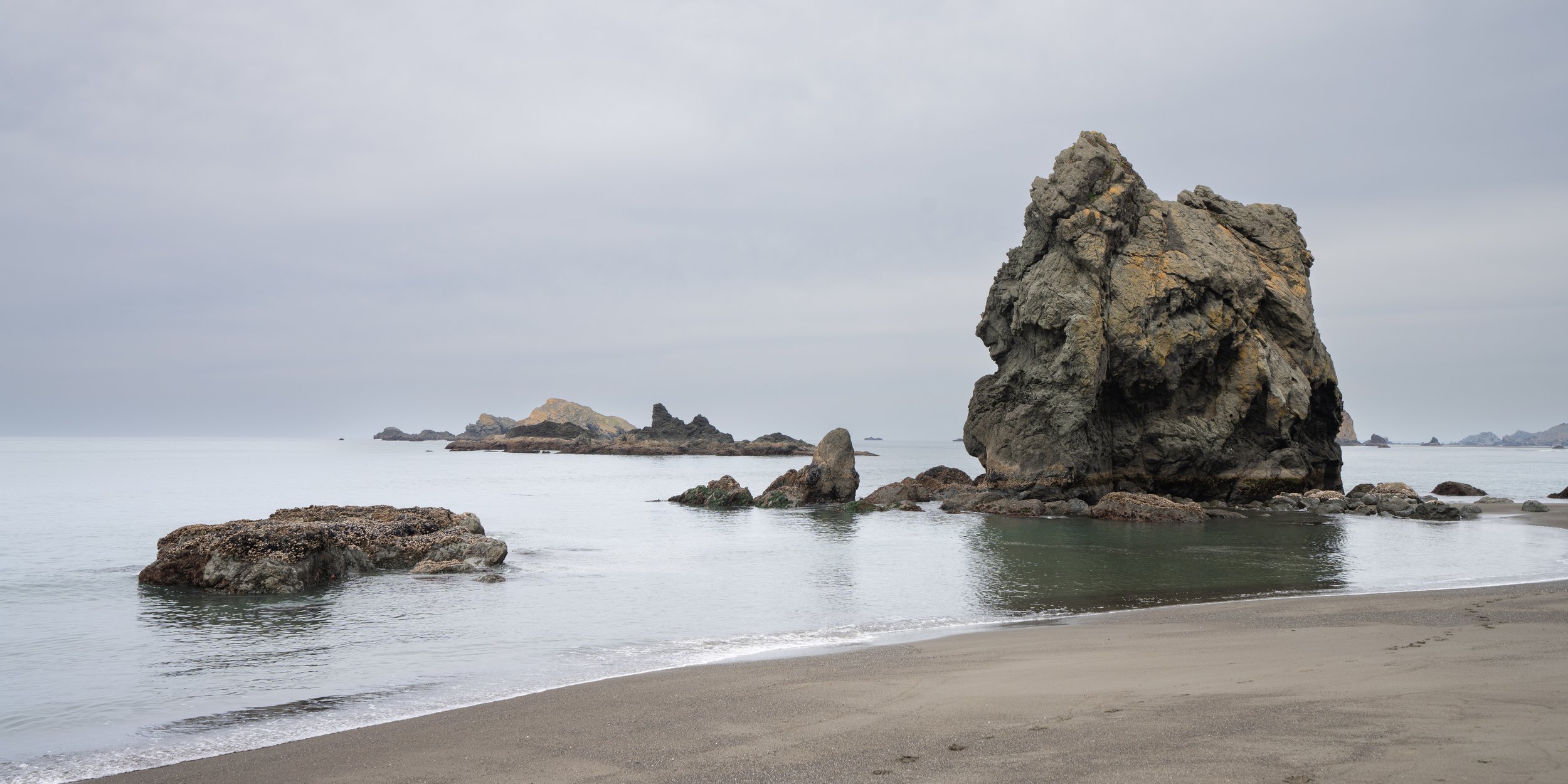
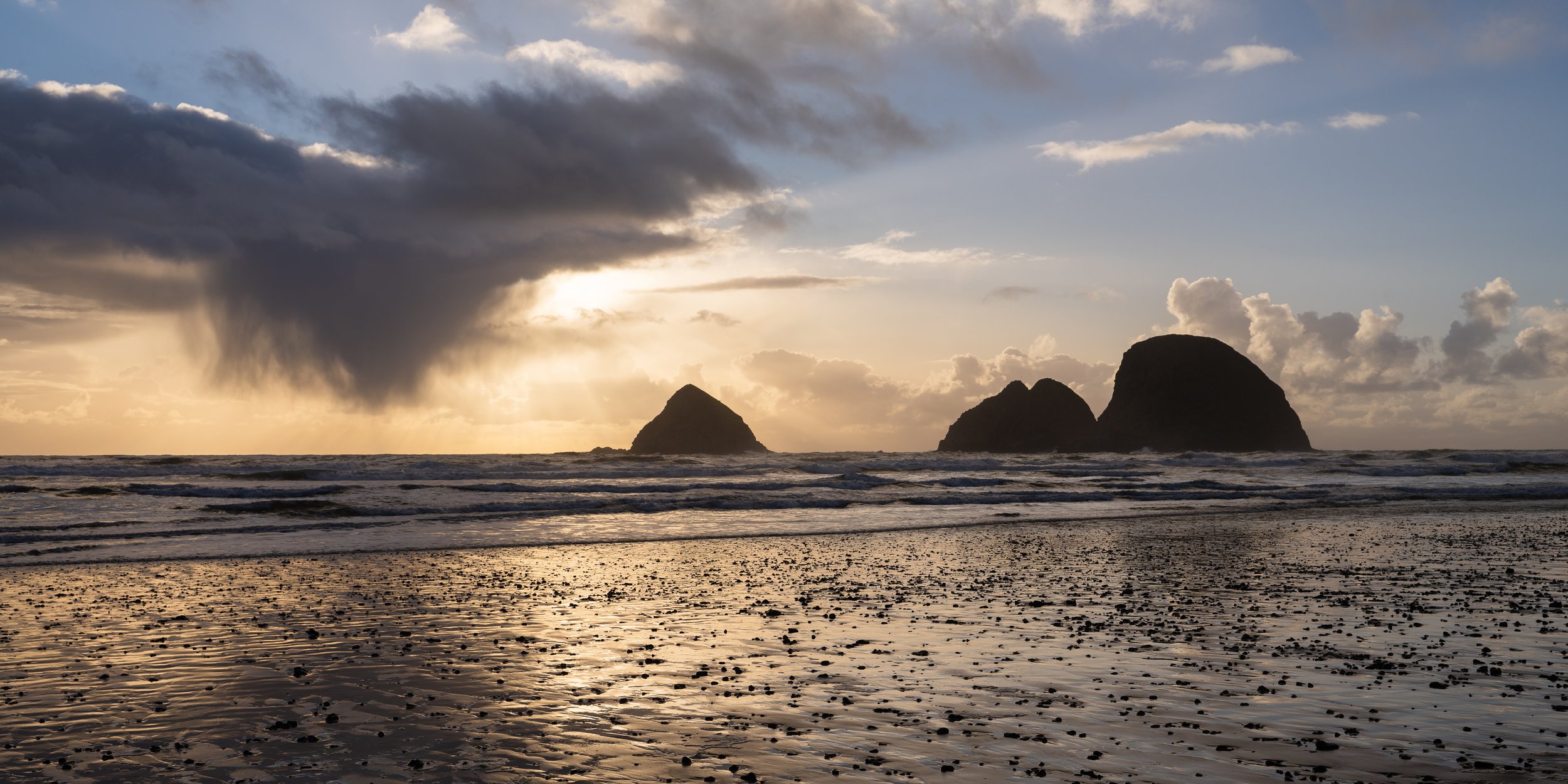
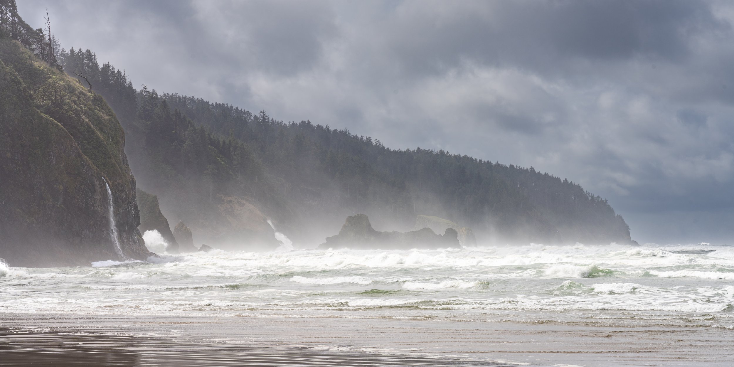

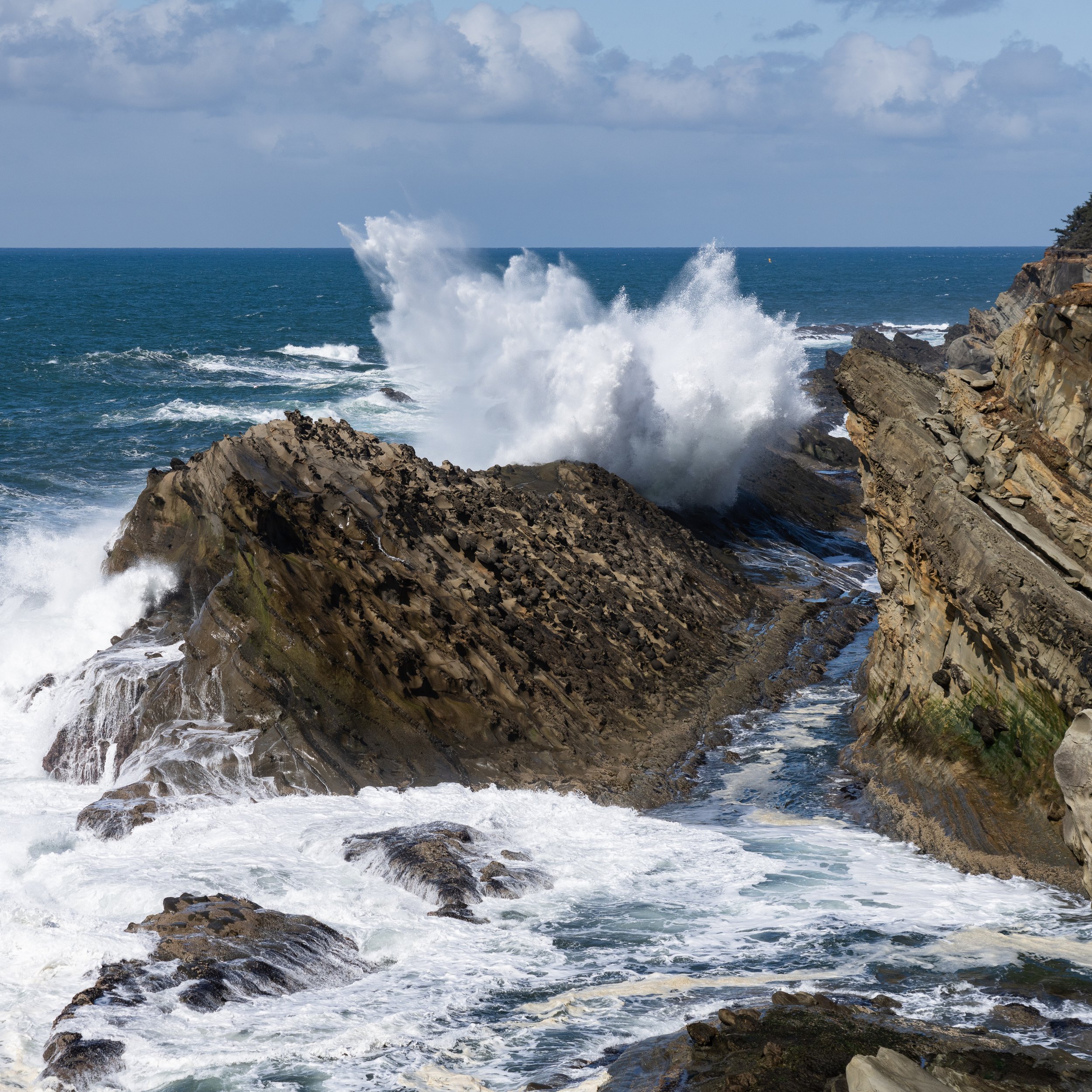
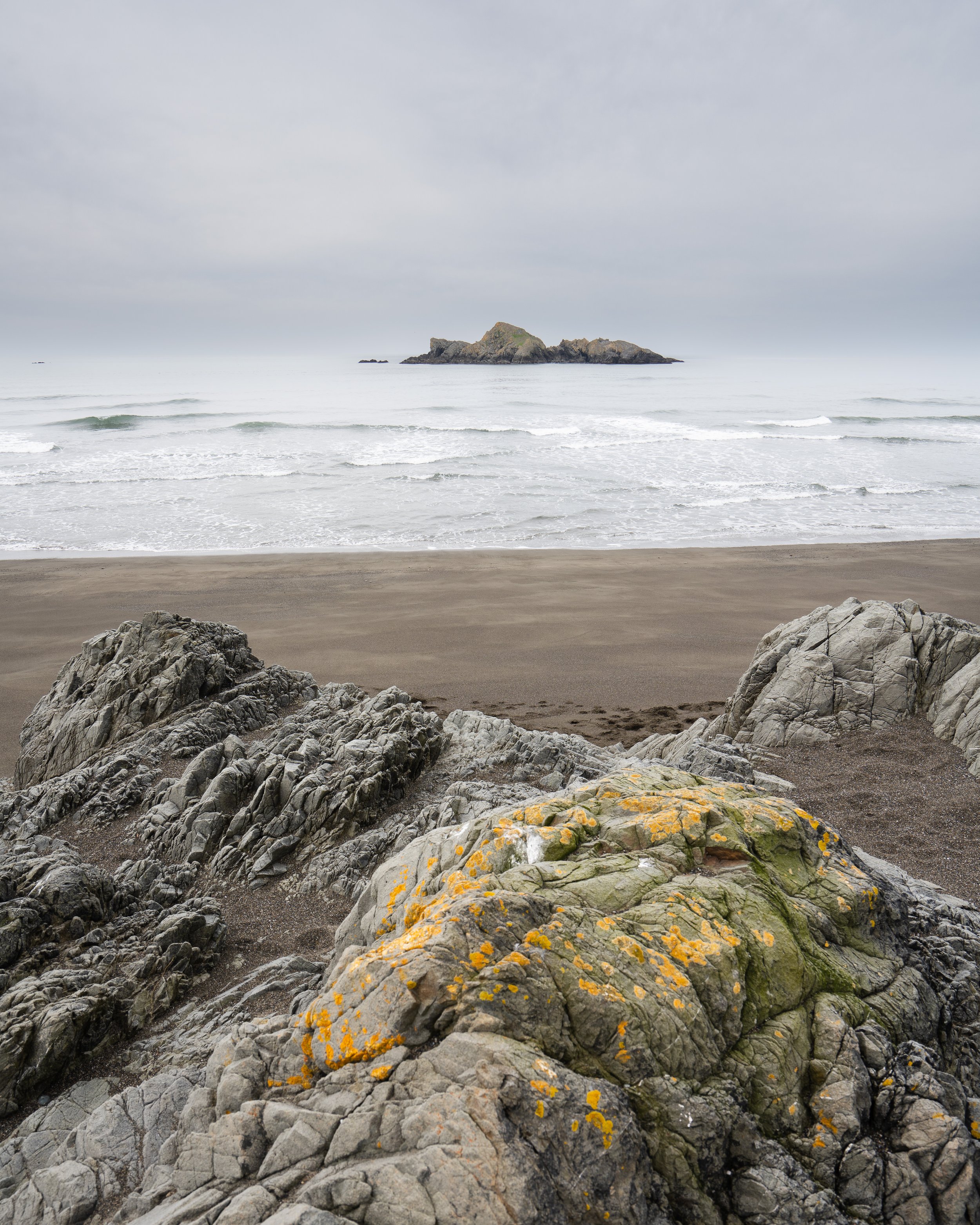
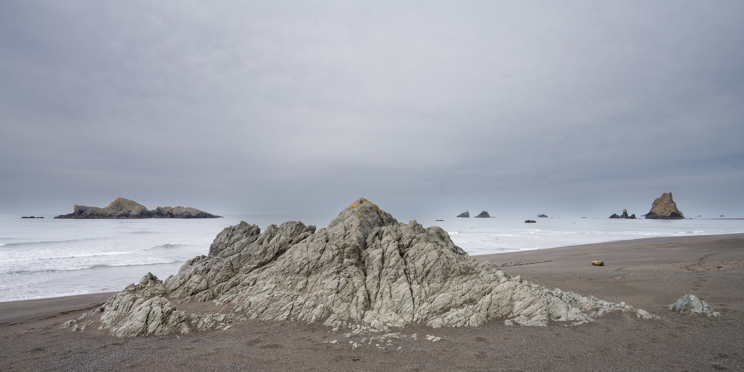
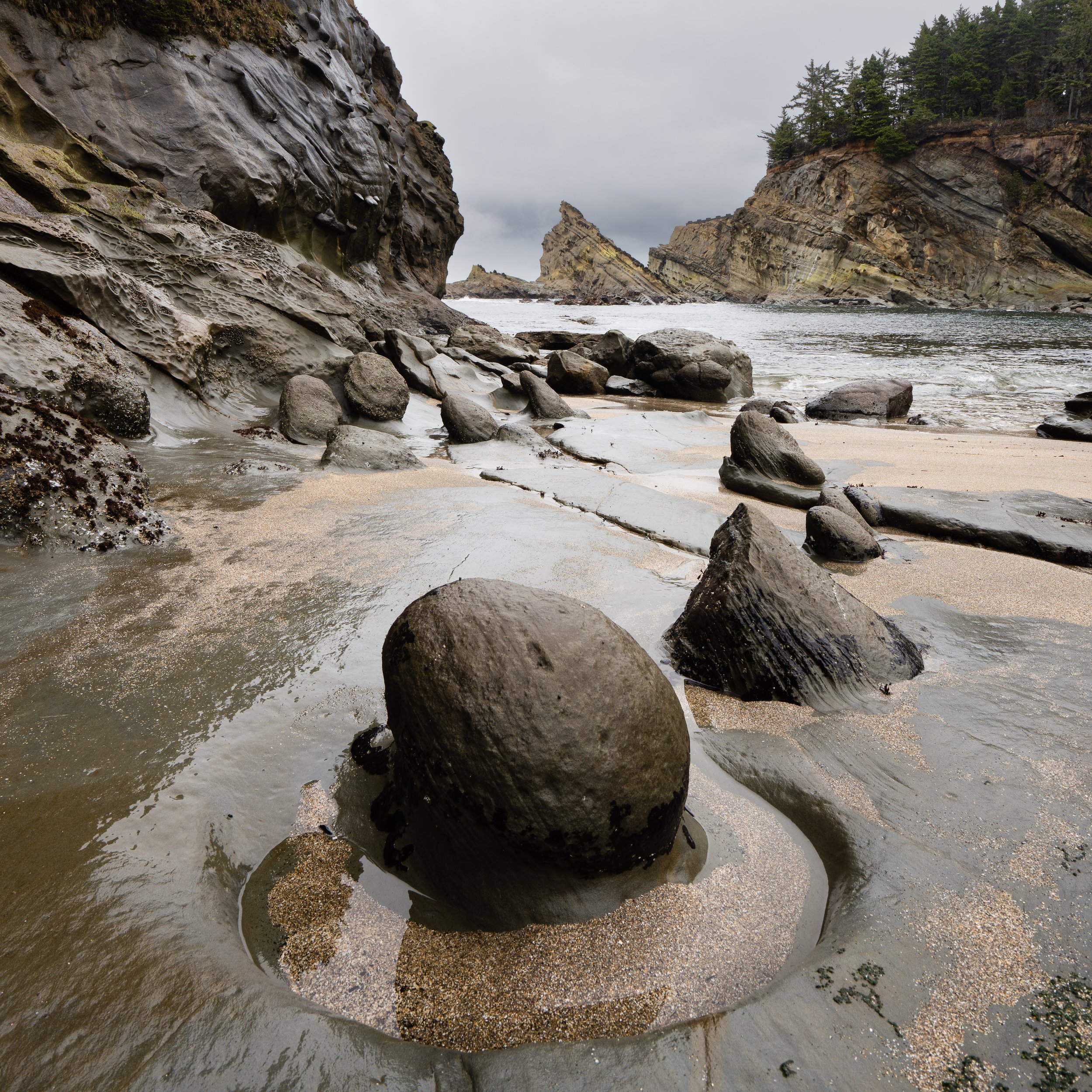
Two more seascape stops at Yaquina Head and Cape Lookout showed us some more amazing locations and our last sunsets on the beach that would have to hold us over as we headed back to Canada through central Washington, into the Kootenays and our stopping point (at least at that time) in Nelson, BC.

A hole in the rock
This was our first really long road trip, with our new trailer camper and plenty of time to just travel. It was kind of a sampler tour, we never stayed long in any one spot. We didn’t really plan much when it came to our photography, just took advantage of what was there at the time. I think we learned a lot about this type of travel, we now know many places that we would like to go back to and spend more time hopefully choosing the right time of year for some special shots or for birds and animals to be more likely to be around. We also learned a lot about our comfort level with different types of camping, we definitely prefer the open spaces and BLM lands when we can. It will be fun now that we know the capabilities of our truck and trailer to go further into the unknown, but we also now know our own limitations. I do think that many of the places further into these BLM lands and onto off-road trails means making sure we are not alone. Getting stuck on your own out there can have grave consequences, even if you are relatively competent.
Now that we are back in Canada, we have a new set of adventures ahead as we finally found a place to settle down on Vancouver Island and we can start exploring the coast, the mountains and all the surrounding small islands. Plenty of new landscapes to view, so many birds and animals to photograph and maybe we can start to do some of it from a boat?!

Winter trip - Stage 2 - Quickly down the US west coast
Coastal photography, we have spent a great deal of time shooting on the east coast of the US when we lived in South Carolina. The west coast is a different beast altogether. Rocky coastlines, big waves crashing, fantastic tidal pools all make for very different shots and of course the fact that the sun goes down over the ocean instead of rising again makes shooting very different.
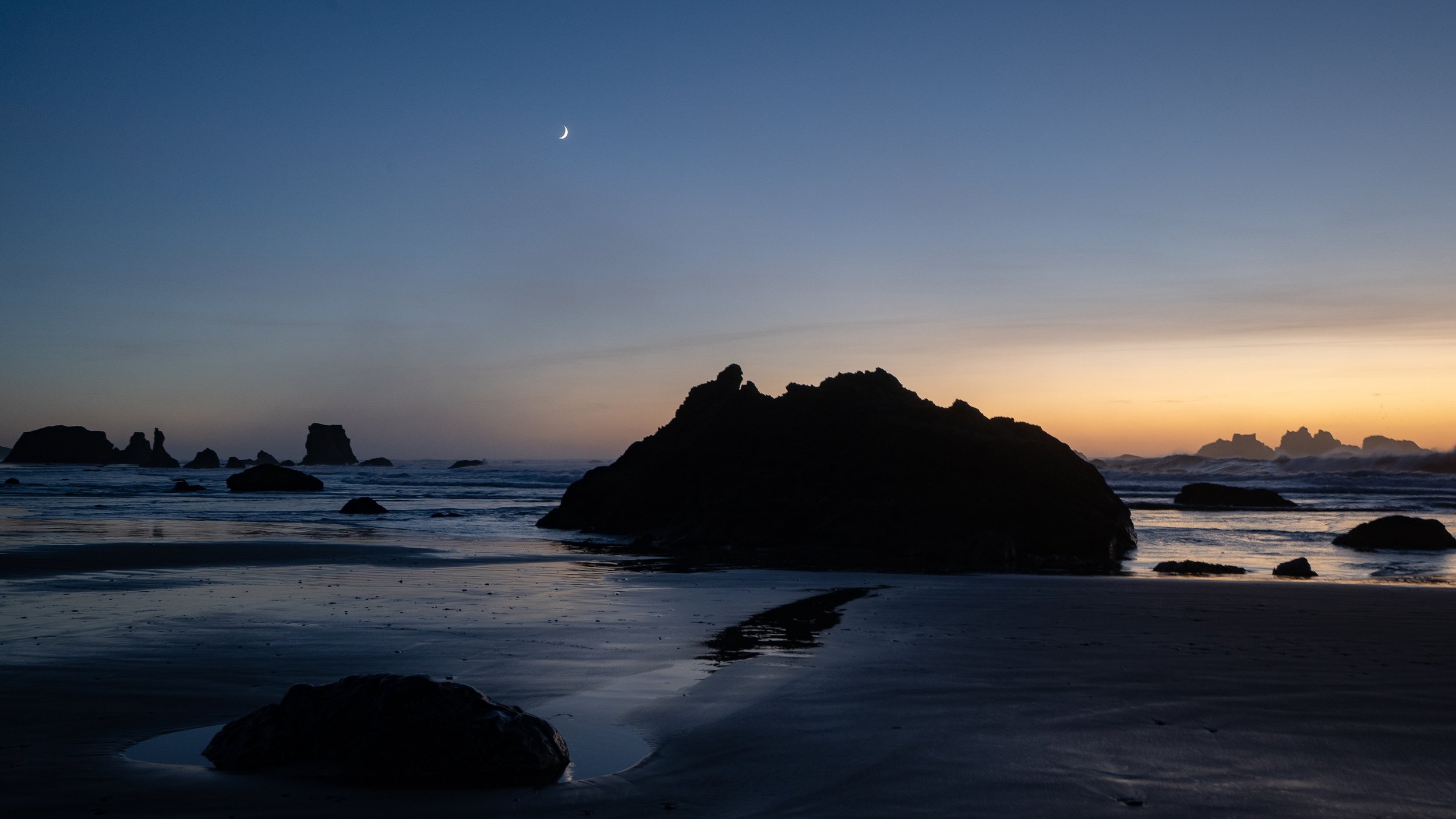
Coastal photography, we have spent a great deal of time shooting on the east coast of the US when we lived in South Carolina. The west coast is a different beast altogether. Rocky coastlines, big waves crashing, fantastic tidal pools all make for very different shots and of course the fact that the sun goes down over the ocean instead of rising again makes shooting very different.
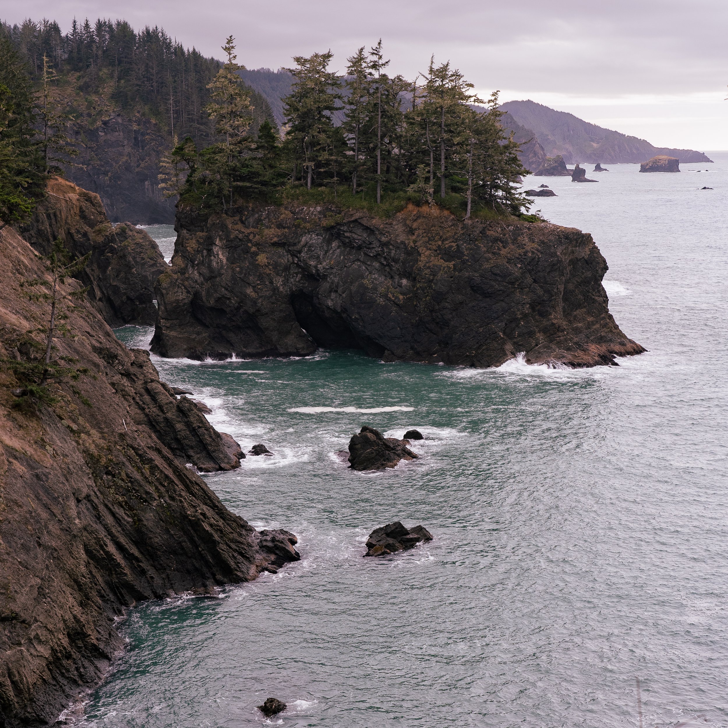
The view from “Secret Beach” one of many stops along the Samuel H. Boardman State Scenic Corridor.
Nature along this coast is also very different, we don’t see many different types of herons or egrets and gators are not something we need to worry about but we can look forward to sea lions, elephant seals and sea otters.
Since we are on the road continuously we are at the whim of the weather for the few days we were at each location. This means that whatever conditions we see that day is likely what we have to shoot. In that sense we often stopped at many locations during the day with the hope that one of those locations would be a good sunset shot…with the hope that conditions at sunset will be good or at least interesting enough. With storms and rainy weather following us down the coast it did make for some interesting seascapes and sunsets.

Photo taken with Sony A7RIV and 70-200 f/4 lens at 82mm, ISO 1000, f/4, 1/2000s. This was just a quick stop at a lookout along the highway where we saw waves crashing from a distance.
Writing these articles helps to ensure I look back at the photos I’ve taken. I usually pick what I think are the best photos from that day when I download them into Lightroom but what I have found is that if I go through them again a few weeks or even months later I find quite a few shots that I overlooked when I first downloaded them. I’m not sure what it is that changes how I look at them but I’m glad I do this once in a while.

I almost overlooked this shot on my first pass. After a couple of months I looked back through the library and this one stood out for some reason.
Our first real taste of the coast was at Cape Disappointment as the south end of Washington State. We basically didn’t get much of a chance to see anything else due to two full days of rain that kept us on the road from Port Angeles along hwy 101. I’m hoping that we will get a chance to revisit the Washington coastline but grey and rainy is not the best way to see any of that area.
Disappointment was definitely not disappointing. In fact as our first real taste of this rocky coastline it had a pretty big impact on us. One of the first sights was the Lighthouse and with the first bit of sunlight we had seen in many days it was the first time we wanted to get out with the cameras. One of the best small hikes we did was to head into Deadman’s Cove which turned out to have a cool island in the middle with a lone tree….an interesting subject to do a bit on long exposure photography and after the trip I still think it gave me one of my favourite shots of the trip.
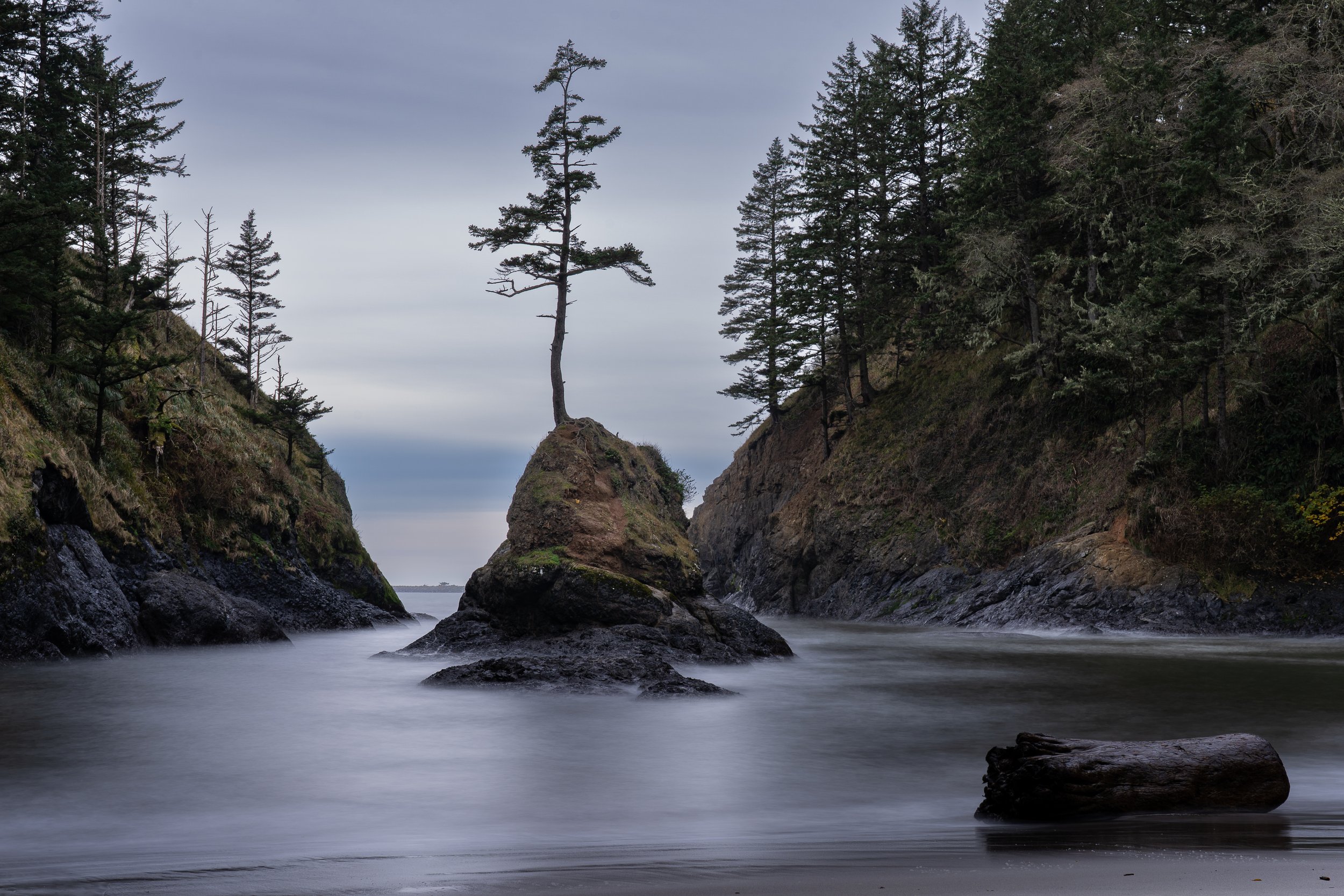
It took some time to get this shot just right. With a 6 stop filter we were trying for long enough exposer to smooth out the waves but that log to the right moved when the waves were too large. This was one of my favourite shot of the trip. Photo taken with Sony A7III with 24-105 lens at 50 mm, ISO 100, f/13, 30 seconds.
Oregon has been on my list of places to visit for a long time. I’ve been watching a landscape photographer on YouTube named Nick Page (https://www.youtube.com/@NickPage) so I had some ideas of what was possible, although I knew it was unlikely I would be lucky enough to get an opportunity to get shots that were as good as his when our window was usually one or possibly two days at any one area. I just hoped that we would get some weather windows at dawn and dusk with interesting weather…not pure grey skies and drizzling rain or pure blue skies. If you are looking on a map some of the spots we stopped at are Bandon Beach, Shore Acres State Park near Coos Bay, Cape Blanco, and Secret Beach near Brookings. This is just a few as we stopped many times along the highway all the way through Oregon.

Bandon Beach as the sun was getting low. Very little colour with the grey clouds and mist from the sea so I thought black and white would give a better feeling. Photo taken with Sony A7RIV and 70-200 f/4 at 100mm, ISO f/13, at 1/640s.
Turned out we did get some really windy days but we managed to miss a king tide with those winds by just a couple of days. That being said we did manage to get some nice shots around Bandon and scoped out a few areas around what is referred to as secret beach?? This is a place I would like to come back and spend some time near so that I could find a better spot to take shots from. The places I stood made me feel like I was just missing the shot.
We did manage to get very lucky on one of our coastal walks. By lucky I mean we ended up with a storm coming right over us as we wandered down the beach and got absolutely soaked but as this storm moved off we got one of the most amazing rainbows that I have seen with dark skies in the background and sunlight hitting the rocks. It was worth the painful rain/ice hitting us as we tried to get these shots.
A wet and cold walk on Lone Ranch Beach through a very windy storm was all worth it for these shots as the storm passed through. It was a fleeting moment but one I’m glad we caught. Photo taken with Sony A7RIV with 24-105 f/4 lens at 27 mm, ISO 160, f/11, 1/200s.
Before heading inland we took a little time along the California coast.
Along Highway 1 we continuously saw hawks hovering above the cliffs over the grassy hills hunting. At times they would go into another hawks territory and that would cause some interesting interactions. If we didn’t need to get to our campsite I could likely have stayed for hours waiting and watching those hawks.

A pair of Red-tailed hawks fighting above Highway 1 in Northern California. This was a quick stop on the side of the road as we saw numerous hawks hunting in the grass above the ocean. Photo taken with Sony A7RIV with the 200-600 lens and 1.4 teleconverter at 840mm, ISO 250, f/9, 1/1250s.
I am always eager to find some wildlife and we hit the jackpot with a sea otter that was getting ready to sleep, rolling in the kelp and fluffing up its fur for a good half hour only 20 feet from us on the beach. It finally settled in to sleep, seemingly without a worry in the world.
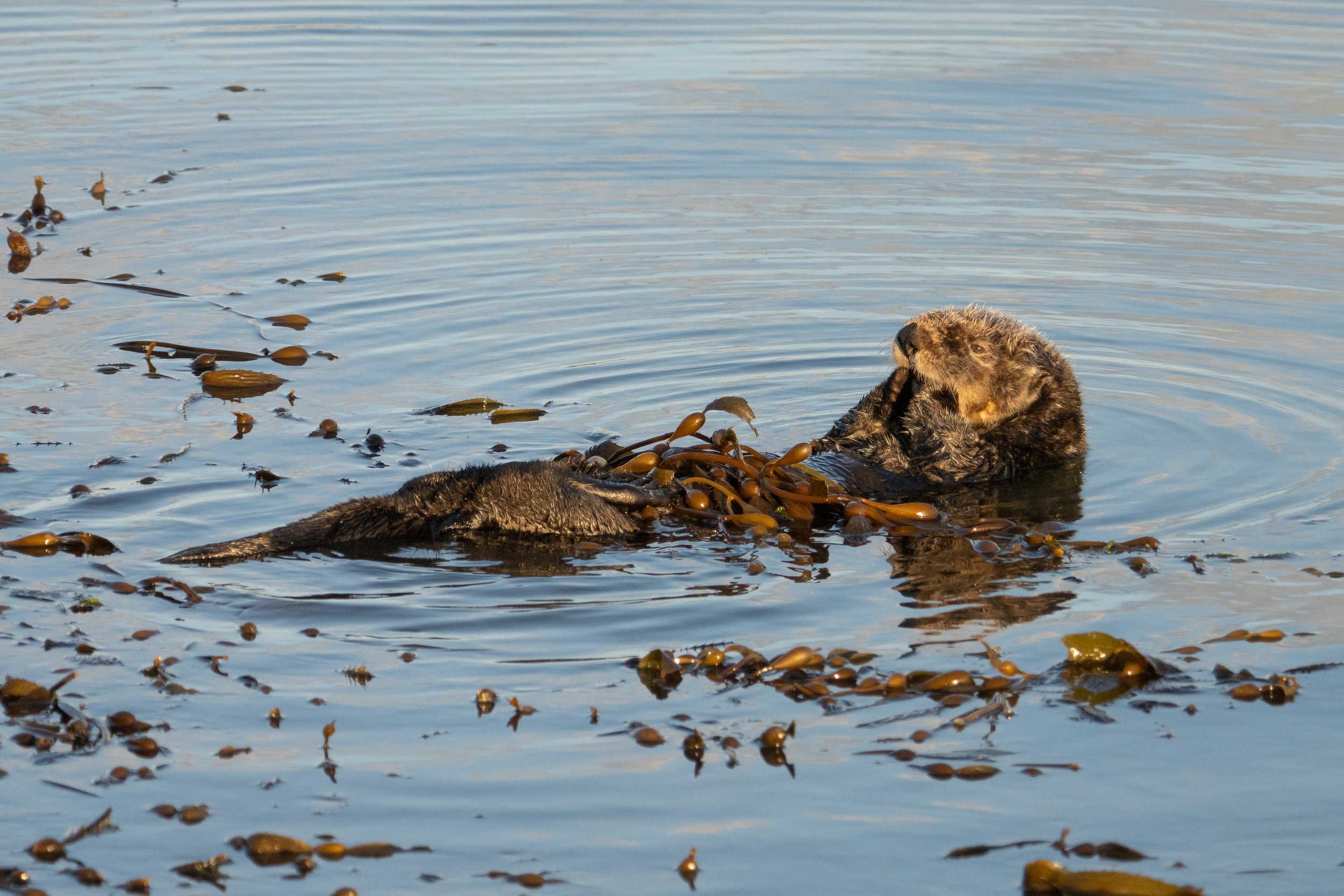
Sea Otter wrapping itself in the weeds and starting to puff up and clean before settling down for a nap. Photo taken with Sony A7RIV and 200-600 lens at 400mm, ISO 2000, f/9, 1/1250s to ensure I stopped the motion and was able to get the whole otter in focus.
You can see more of this cuteness in our vlog on no.fixed.plans on YouTube, you can also look directly at the West Coast Gallery for more pictures.
With horrible weather always just one step behind us, we really did not spend the amount of time we wanted to on this trip. It was a good sampler and now that we have some ideas I think that we can make some more trips down to the Oregon coast especially and hopefully get to spend more quality time behind the camera. With that cold and wet weather coming for us again our next step was to head inland towards Death Valley, but that will be in the next post.